
Niagara-on-the-Lake in Niagara Region, Ontario — Central Canada (North America)
Fort Niagara
Le fort Niagara
Photographed by Bill Coughlin, September 19, 2019
1. Fort Niagara Marker

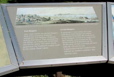
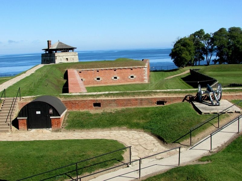
Only 1200 metres across the Niagara River is the imposing American stronghold, Fort Niagara. Originally built by the French, then occupied by the British, and finally the Americans, this fort for nearly 150 years stood guard over the traditional supply route to the Upper Great Lakes.
À seulement 1 200 mètres de l'autre côté de la rivière Niagara se dresse l' imposante forteresse des Américains, le fort Niagara. Construit à l'origine par les Français, puis occupé par les Britanniques et finalement par les Américains, ce fort a protégé pendant près de 150 ans la voie d' approvisionnement traditionnelle menant au secteur supérieur des Grands Lacs.
Topics. This historical marker is listed in this topic list: Forts and Castles. A significant historical year for this entry is 1200.
Location. 43° 15.126′ N, 79° 3.735′ W. Marker is in Niagara-on-the-Lake, Ontario, in Niagara Region. It can be reached from Queens Parade, on the right when traveling north. The marker is 50 metres north of the fort entrance at Fort George, 50 metres east of the gift shop entrance, and 30 metres south-east
this page online

Regionally, this marker is on Ontario’s Golden Horseshoe and in Niagara Canada. It is also in Central Canada. Globally, it is in North America, the Western Hemisphere, the Western World, and the Anglosphere. Historically, it finds itself in what was once a British colony, the Viceroyalty of New France, the Haudenosaunee (Iroquois) Confederacy, and Rupert’s Land.
Other nearby markers. At least 8 other markers are within walking distance of this marker: The Battle of Fort George (here, next to this marker); A Strategic Site (here, next to this marker); The Fortified Mouth of the Niagara River (here, next to this marker); Sir Isaac Brock's First Burial Site (within shouting distance of this marker); Fort George (within shouting distance of this marker); Six Pounder Field Gun (about 90 meters away, measured in a direct line); Ubique (about 120 meters away); Niagara National Historic Sites (about 120 meters away). Touch for a list and map of all markers
Photographed by Bill Coughlin, September 19, 2019
2. Markers at Fort George
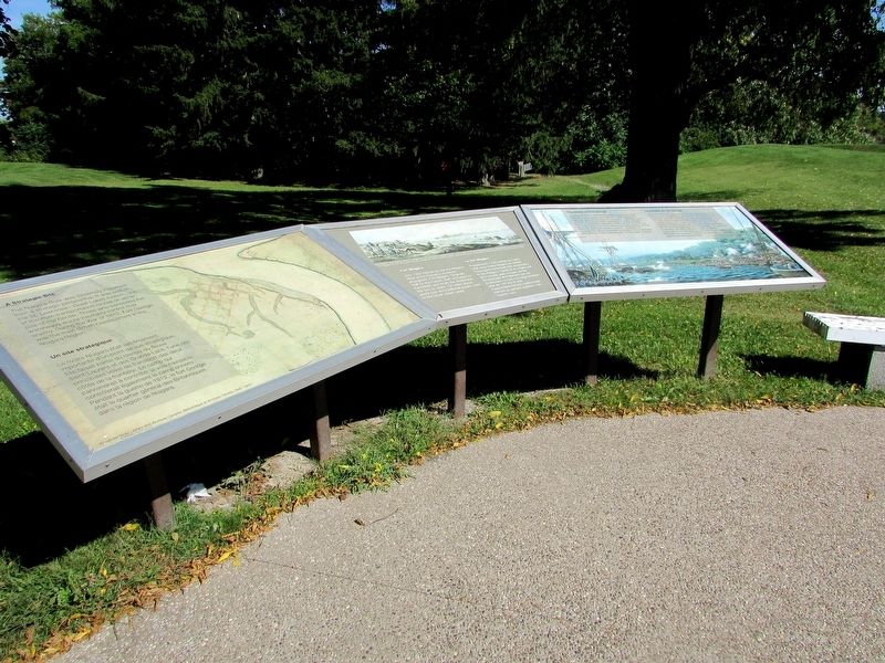
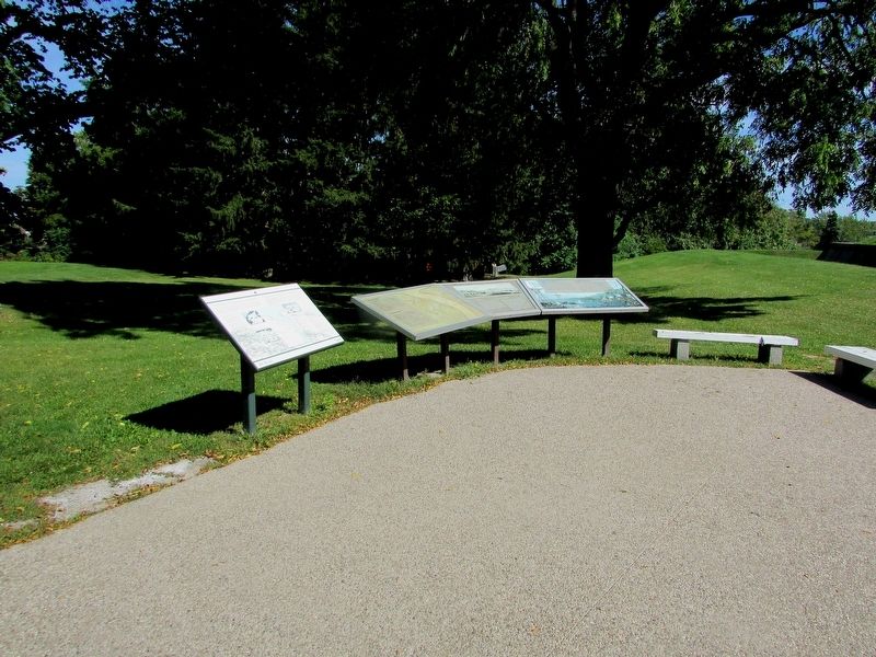
There are several markers at this location. The Fort Niagara marker is seen here in the middle.
Other markers no longer nearby. A Strategic Site (was here, next to this marker but has been replaced with another marker now near it); a different marker also named Fort Niagara (has been replaced with this marker).
More about this marker. A picture along the top of the marker has a caption of “This image by James Peachy shows Fort Niagara in 1783. From this perspective it looks as if the artist was standing near this very spot.”
Photographed by Bill Coughlin, September 19, 2019
3. Fort Niagara and Other Marker
Photographed by Bill Coughlin, September 17, 2019
4. Fort Niagara
Photographed by Bill Coughlin, September 17, 2019
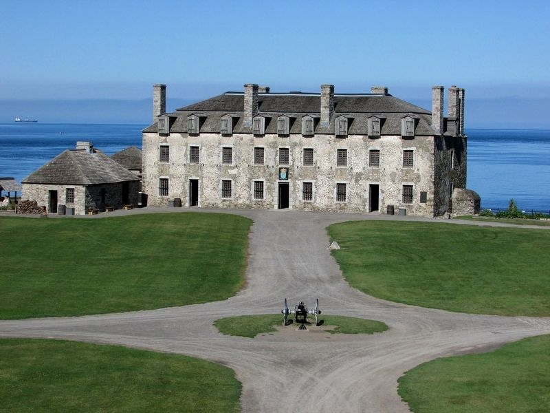
5. The French Castle at Fort Niagara
This is the oldest building in Fort Niagara, and the oldest in the eastern interior of North America.
Credits. This page was last revised on October 3, 2025. It was originally submitted on September 24, 2019, by Bill Coughlin of Woodland Park, New Jersey. This page has been viewed 520 times since then and 25 times this year. Last updated on September 8, 2025, by Kevin Westell of St. Catharines, Ontario. Photos: 1, 2, 3, 4, 5. submitted on September 24, 2019, by Bill Coughlin of Woodland Park, New Jersey. • Devry Becker Jones was the editor who published this page.
