
Niagara-on-the-Lake in Niagara Region, Ontario — Central Canada (North America)
The Battle of Fort George
La bataille du fort George

Photographed by Bill Coughlin, September 19, 2019
1. The Battle of Fort George Marker

In May of 1813, combined artillery fire from Fort Niagara and detached batteries destroyed Fort George paving the way for invasion. On May 27th, a large American force defeated a much smaller number of British regulars, militia and First Nations warriors. This led to an American occupation of the area for the next seven months. Today, Fort George brings to life these troubled times and tells the stories of this pivotal part of Canadian history.
En mai 1813, les tirs combinés de l'artillerie du fort Niagara et de batteries détachées détruisent le fort George, ouvrant ainsi la voie aux envahisseurs. Le 27 mai, une importante force américaine défait la troupe beaucoup moins nombreuse de soldats réguliers britanniques, de miliciens et de guerriers des Premières Nations. Les Américains occuperont le secteur pendant les sept mois suivants. Aujourd'hui, le fort George fait revivre cette époque troublée et raconte l'histoire de ce moment décisif dans l'histoire du Canada.
Topics. This historical marker is listed in these topic lists: Forts and Castles • War of 1812. A significant historical date for this entry is May 27, 1813.
Location. 43° 15.125′ N,
this page online

Regionally, this marker is on Ontario’s Golden Horseshoe and in Niagara Canada. It is also in Central Canada. Globally, it is in North America, on the Great Lakes, in the Western Hemisphere, in the Western World, and in the Anglosphere. Historically, it finds itself in what was once a British colony, the Viceroyalty of New France, the Haudenosaunee (Iroquois) Confederacy, and Rupert’s Land.
Other nearby markers. At least 8 other markers are within walking distance of this marker: Fort Niagara (here, next to this marker); A Strategic Site (here, next to this marker); The Fortified Mouth of the Niagara River (a few steps from this marker); Sir Isaac Brock's First Burial Site
Photographed by Bill Coughlin, September 19, 2019
2. Markers at Fort George
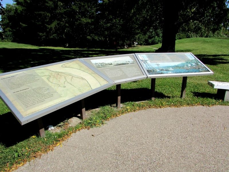
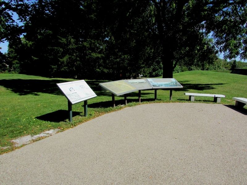
There are several markers at this location. The Battle of Fort George marker is seen here on the right.
Other markers no longer nearby. A Strategic Site (was here, next to this marker but has been replaced with another marker now near it); a different marker also named Fort Niagara (was here, next to this marker but has been replaced with another marker now near it); Niagara National Historic Sites (was about 120 meters away but has been confirmed missing); Welcome to Fort George (was about 120 meters away but has been confirmed missing).
More about this marker. A picture on the marker shows Americans in boats landing near Fort George and being met by British soldiers defending the fort.
Related marker. Click here for another marker that is related to this marker. This marker has replaced the linked marker.
Photographed by Bill Coughlin, September 19, 2019
3. The Battle of Fort George and other Markers
Photographed by Bill Coughlin, September 17, 2019
4. Fort Niagara Battery
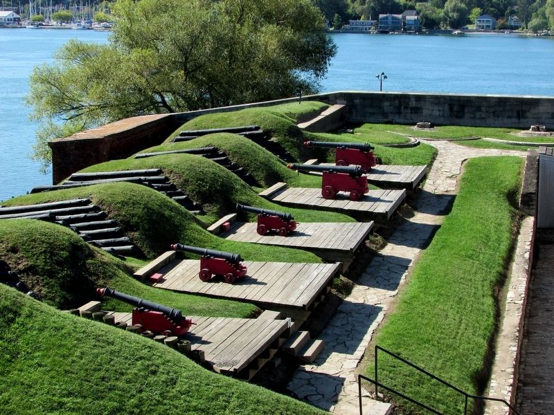
Cannon from Fort Niagara fired on Fort George during the battle.
Photographed by Bill Coughlin, September 19, 2019
5. Powder Magazine at Fort George
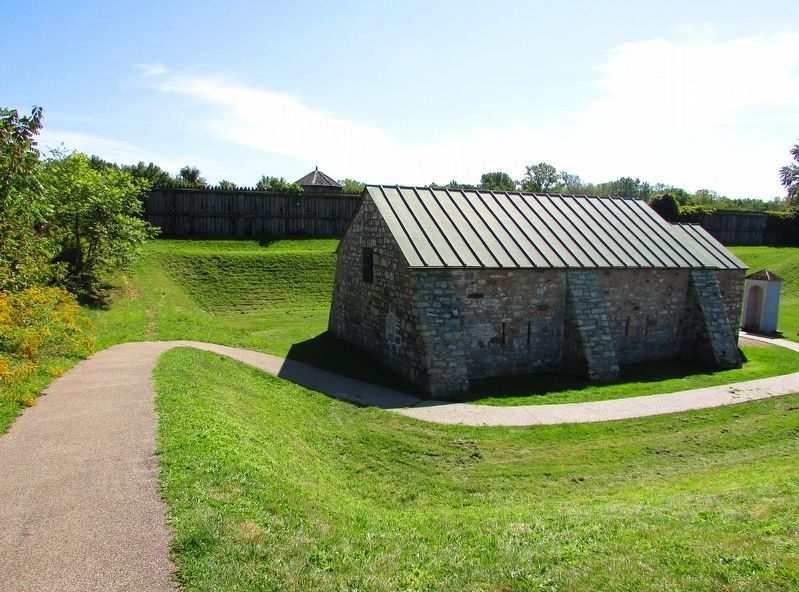
This is the only building that survived the Battle of Fort George.
Credits. This page was last revised on October 3, 2025. It was originally submitted on September 24, 2019, by Bill Coughlin of Woodland Park, New Jersey. This page has been viewed 371 times since then and 29 times this year. Last updated on September 8, 2025, by Kevin Westell of St. Catharines, Ontario. Photos: 1, 2, 3, 4, 5. submitted on September 24, 2019, by Bill Coughlin of Woodland Park, New Jersey. • Devry Becker Jones was the editor who published this page.
