Wasta in Pennington County, South Dakota — The American Midwest (Upper Plains)
Missouri River
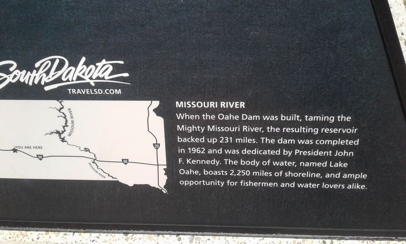
Photographed by Craig Doda, September 1, 2018
1. Missouri River Marker
Topics. This historical marker is listed in this topic list: Waterways & Vessels. A significant historical year for this entry is 1962.
Location. Marker has been reported permanently removed. It was located near 44° 3.776′ N, 102° 26.384′ W. Marker was in Wasta, South Dakota, in Pennington County. It was on I-90 E, on the right when traveling east. Touch for map. Marker was in this post office area: Wasta SD 57791, United States of America.
We have been informed that this marker is no longer there and will not be replaced. This page is an archival view of what was.
Regionally, this marker was in South Dakota’s West River, in the Badlands, and in Greater Rapid City. It was also in the American Lewis & Clark Corridor, on the prairies, and on the Northern Plains. Globally, it was in North America,

this page online
Other nearby markers. At least 6 other markers are within 12 miles of this location, measured as the crow flies: Cheyenne River Rest Area (a few steps from this marker); a different marker also named Cheyenne River Rest Area (approx. 0.3 miles away); Purple Heart Memorial Highway (approx. 0.3 miles away); Veterans Memorial (approx. 10.9 miles away); The Carrol McDonald Post No. 246 World War Memorial (approx. 10.9 miles away); Mako sica/Les mauvaises terres/The Badlands (approx. 12.1 miles away). Touch for a list and map of all markers in Wasta.
Other markers no longer nearby. World's Only Corn Palace - Mitchell (was here, next to this marker but has been permanently removed); Native American Culture (was a few steps from this marker but has been permanently removed).
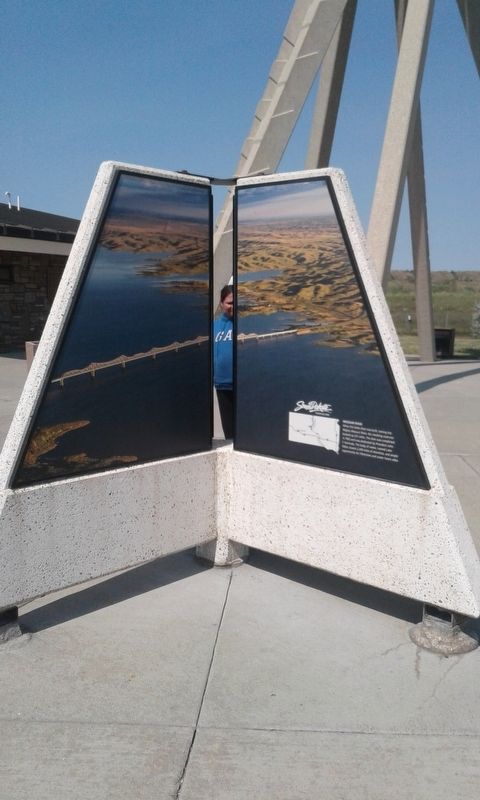
Photographed by Craig Doda, September 1, 2018
2. Missouri River Marker
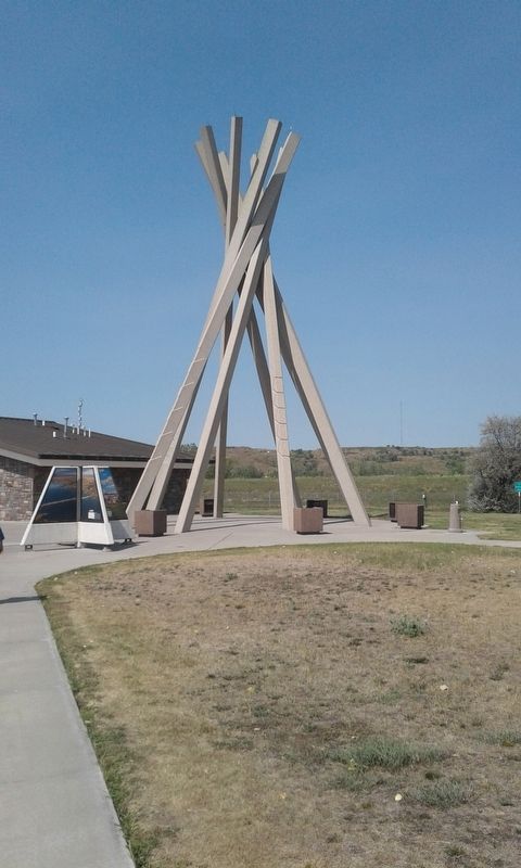
Photographed by Craig Doda, September 1, 2018
3. Missouri River Marker
Credits. This page was last revised on September 23, 2025. It was originally submitted on December 6, 2020, by Craig Doda of Napoleon, Ohio. This page has been viewed 203 times since then and 31 times this year. Last updated on September 8, 2025, by Susan Van Den Bosch of Almond, Wisconsin. Photos: 1, 2, 3. submitted on December 6, 2020, by Craig Doda of Napoleon, Ohio. • J. Makali Bruton was the editor who published this page.
