Near Torrey in Garfield County, Utah — The American Mountains (Southwest)
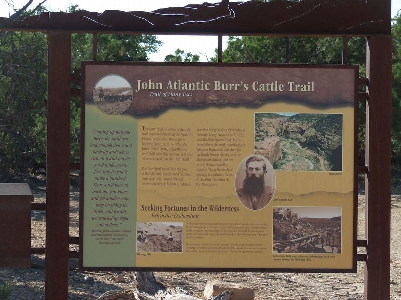
John Atlantic Burr's Cattle Trail
Trail of Many Uses
Photographed by Doreen Thomson, June 23, 2010
1. John Atlantic Burr's Cattle Trail Marker
"Coming up through there, the sand was bad enough that you'd back up and take a run on it and maybe you'd make twenty feet, maybe you'd make a hundred. Then you'd have to back up, you know, and get another run … keep breaking thetrack. And we did, we crawled up right out of there".
- Lincoln Lyman, Boulder resident and road builder commenting on the Burr Trail before the road was built.
The Burr Trail Road was originally used to move cattle from the Aquarius Plateau on Boulder Mountain to Bullfrog Basin near the Colorado River. In the 1880s, John Atlantic Burr built it for this purpose, and thus it became known as the "Burr Trail".
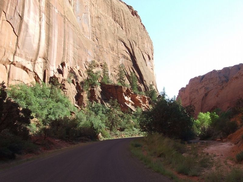
The Burr Trail Road links the town of Boulder with Capitol Reef National Park and Glen Canyon National Recreation Area. It follows a natural corridor of exposed rock formations through Long Canyon, Circle Cliffs, and the Waterpocket Fold. As you travel along the road, note the sheer Wingate Formation that stretches vertically toward the sky, and the alcoves and arches that are slowly being created by erosion. Today the study of geology is a primary focus of the Burr Trail area in
this page online
Seeking Fortunes in the Wilderness
Extractive Exploration
The Burr Trail evolved into a road in the late 1940's, when it served as the main corridor for mineral exploration, Claims to oil, coal, and uranium were made by local residents and by companies from around the country. Seemingly overnight, the population in nearby towns grew, and newly-built wood houses were filled with employees of the mines and their families.
The mines were scattered across the landscape. Grand Staircase-Escalante National Monument is currently surveying and reclaiming the abandoned mines and hazardous sites, working in partnership with the State of Utah and other government agencies.
In the Circle Cliffs area, evidence of mining dates back to the uranium boom of the 1940s and 1950s.
Topics. This historical marker is listed in these topic lists: Industry & Commerce • Roads & Vehicles. A significant historical year for this entry is 1880.
Location. 37° 51.733′ N, 111° 4.85′ W. Marker is near Torrey, Utah, in Garfield County. It is on Burr Trail Road. Note the indicated location displayed here is approximate and may be off by as much as a quarter mile..
Photographed by Doreen Thomson, June 23, 2010
2. Along the Burr Trail

Regionally, this marker is in Utah’s Navajo Nation, in Canyon Country, and specifically in Color Country. It is also in the American Mountain West, on the Colorado Plateau, and at the Four Corners. Globally, it is in North America, the Western Hemisphere, the Western World, and the Anglosphere. Historically, it finds itself in what was once New Spain and also Mexico’s Alta California.

Credits. This page was last revised on September 9, 2025. It was originally submitted on August 26, 2025, by Doreen Thomson of Calgary, Alberta Canada. This page has been viewed 91 times since then and 21 times this year. Last updated on September 8, 2025, by Doreen Thomson of Calgary, Alberta Canada. Photos: 1, 2. submitted on August 26, 2025, by Doreen Thomson of Calgary, Alberta Canada. • Devry Becker Jones was the editor who published this page.
