Near Bend in Deschutes County, Oregon — The American West (Northwest)
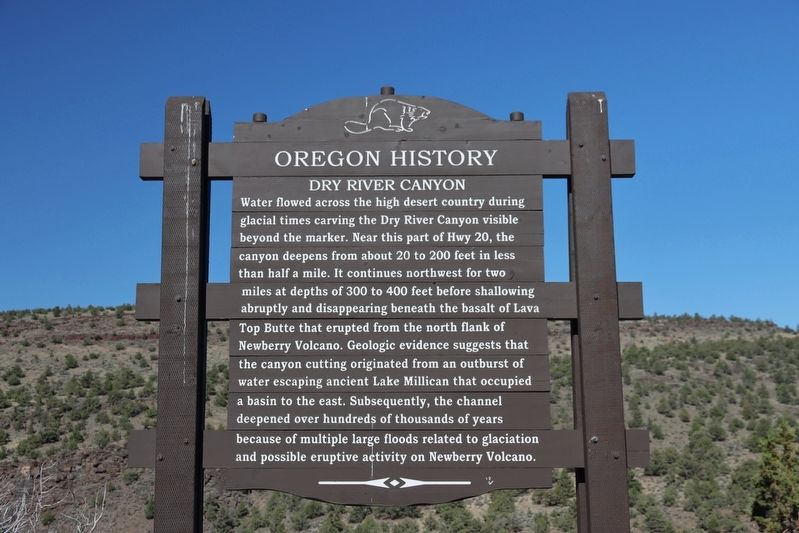
Dry River Canyon
| — | Oregon History | — |
Photographed by William Thievon, July 10, 2025
1. Dry River Canyon Marker
Topics and series. This historical marker is listed in this topic list: Natural Features. In addition, it is included in the Oregon Beaver Boards series list.
Location. 43° 55.088′ N, 121° 0.498′ W. Marker is near Bend, Oregon, in Deschutes County. It is on Central Oregon Highway (U.S. 20), on the right when traveling west. Touch for map.
this page online

Regionally, this marker is in the High Desert. It is also in the American Mountain West and in the Lewis & Clark Corridor. Globally, it is in North America, in the Cascade Range, on the Ring of Fire, on the Pacific Rim, in the Western Hemisphere, in the Western World, and in the Anglosphere.
Other nearby markers. At least one other marker is within walking distance of this marker: Prehistoric River (here, next to this marker).
Photographed by William Thievon, July 10, 2025
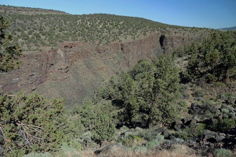
2. Dry River Canyon
Credits. This page was last revised on September 12, 2025. It was originally submitted on September 9, 2025, by William Thievon of Hofheim am Taunus, Germany. This page has been viewed 108 times since then and 48 times this year. Photos: 1, 2. submitted on September 9, 2025, by William Thievon of Hofheim am Taunus, Germany. • Andrew Ruppenstein was the editor who published this page.
