Brantford in Brant County, Ontario — Central Canada (North America)
Victoria Park
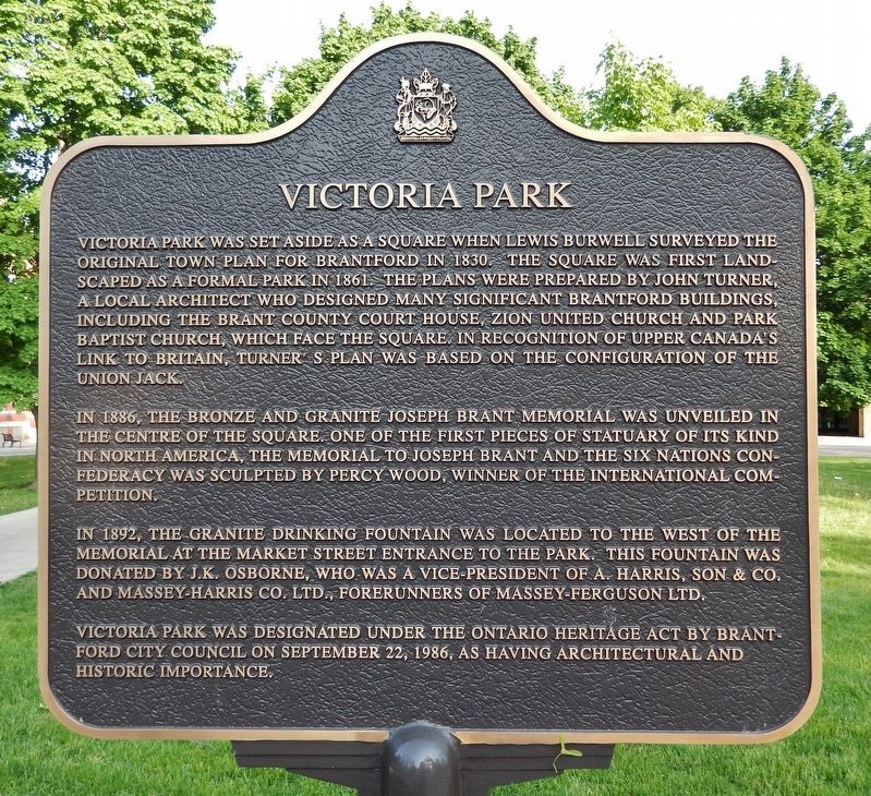
Photographed by Cosmos Mariner, May 24, 2022
1. Victoria Park Marker
Victoria Park was set aside as a square when Lewis Burwell surveyed the original town plan for Brantford in 1830. The square was first landscaped as a formal park in 1861. The plans were prepared by John Turner, a local architect who designed many significant Brantford buildings, including the Brant County Court House, Zion United Church and Park Baptist Church, which face the square. In recognition of Upper Canada’s link to Britain, Turner’s plan was based on the configuration of the Union Jack.
In 1886, the bronze and granite Joseph Brant Memorial was unveiled in the centre of the square. One of the first pieces of statuary of its kind in North America, the memorial to Joseph Brant and the Six Nations Confederacy was sculpted by Percy Wood, winner of the international competition.
In 1892 the granite drinking fountain was located to the west of the memorial at the Market Street entrance to the park. This fountain was donated by J.K. Osborne, who was a vice-president of A. Harris, Son & Co. and Massey-Harris Co. Ltd., forerunners of Massey-Ferguson Ltd.
Victoria Park was designated under the Ontario Heritage Act by Brantford
this page online
Erected by City of Brantford.
Topics. This historical marker is listed in these topic lists: Architecture • Parks & Recreational Areas. A significant historical year for this entry is 1861.
Location. 43° 8.443′ N, 80° 15.787′ W. Marker is in Brantford, Ontario, in Brant County. It can be reached from Darling Street just west of George Street, on the right when traveling west. Marker is located beside the walkway at the center of Victoria Park. Touch for map. Marker is at or near this postal address: 65 Market Street, Brantford ON N3T 2Z7, Canada. Touch for directions.

Regionally, this marker is in the Hamilton-Halton-Brant Area and in Southwestern Ontario. It is also in Central Canada. Globally, it is in North America, the Western Hemisphere, the Western World, and the Anglosphere. Historically, it finds itself in what was once a British colony, the Viceroyalty of New France, the Haudenosaunee (Iroquois) Confederacy, and Rupert’s Land.
Other nearby markers. At least 8 other markers are within walking distance of this marker:
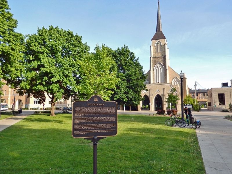
Photographed by Cosmos Mariner, May 24, 2022
2. Victoria Park Marker
Another marker is no longer nearby. Brant County Court-House (was within shouting distance of this marker but has been confirmed missing).
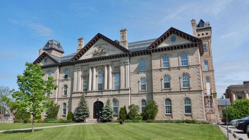
Photographed by Cosmos Mariner, May 25, 2022
3. Brant County Court House
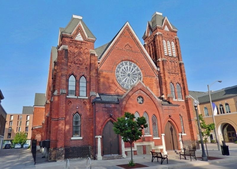
Photographed by Cosmos Mariner, May 24, 2022
4. Park Baptist Church
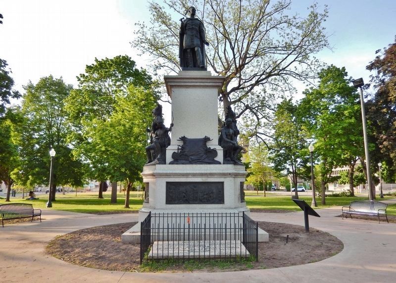
Photographed by Cosmos Mariner, May 24, 2022
5. Joseph Brant Memorial
Credits. This page was last revised on September 30, 2025. It was originally submitted on February 7, 2023, by Cosmos Mariner of Cape Canaveral, Florida. This page has been viewed 497 times since then and 43 times this year. Last updated on September 9, 2025, by Kevin Westell of St. Catharines, Ontario. Photos: 1, 2. submitted on February 7, 2023, by Cosmos Mariner of Cape Canaveral, Florida. 3, 4, 5. submitted on February 8, 2023, by Cosmos Mariner of Cape Canaveral, Florida. • Devry Becker Jones was the editor who published this page.
