Stoney Creek in Hamilton, Ontario — Central Canada (North America)
Augustus Jones (C. 1757-1836)
Photographed by Tim Boyd, September 13, 2023
1. Augustus Jones (C. 1757-1836) Marker
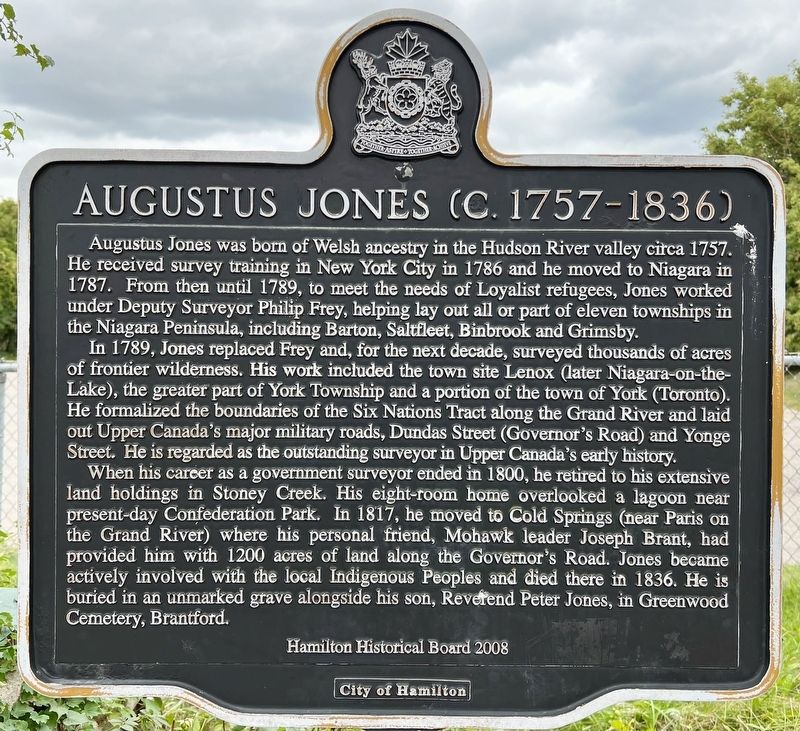
Augustus Jones was born of Welsh ancestry in the Hudson River valley circa 1757. He received survey training in New York City in 1786 and he moved to Niagara in 1787. From then until 1789, to meet the needs of Loyalist refugees, Jones worked under Deputy Surveyor Philip Frey, helping lay out all or part of eleven townships in the Niagara Peninsula, including Barton, Saltfleet, Binbrook and Grimsby.
In 1789, Jones replaced Frey and, for the next decade, surveyed thousands of acres of frontier wilderness. His work included the town site Lenox (later Niagara-on-the-Lake), the greater part of York Township and a portion of the town of York (Toronto). He formalized the boundaries of the Six Nations Tract along the Grand River and laid out Upper Canada's major military roads, Dundas Street (Governor's Road) and Yonge Street. He is regarded as the outstanding surveyor in Upper Canada's early history.
When his career as a government surveyor ended in 1800, he retired to his extensive land holdings in Stoney Creek. His eight-room home overlooked a lagoon near present-day Confederation Park. In 1817, he moved to Cold Springs
this page online
Erected 2008 by City of Hamilton.
Topics. This historical marker is listed in these topic lists: Indigenous Peoples and Communities • Settlements & Settlers. A significant historical year for this entry is 1787.
Location. 43° 13.008′ N, 79° 45.22′ W. Marker is in Hamilton, Ontario. It is in Stoney Creek. It is at the intersection of King Street East and Jones Street, on the right when traveling west on King Street East. Touch for map. Marker is in this post office area: Hamilton ON L8G 1K2, Canada. Touch for directions.

Regionally, this marker is on the Golden Horseshoe, in the Hamilton-Halton-Brant Area, and specifically in the Toronto Metropolitan Area. It is also in Central Canada. Globally, it is in North America, on the Great Lakes, in the Western Hemisphere,
Photographed by Tim Boyd, September 13, 2023
2. Augustus Jones (C. 1757-1836) Marker
Other nearby markers. At least 8 other markers are within walking distance of this marker: The Turning Point - June 6th, 1813 (approx. 0.9 kilometers away); The Battle of Stoney Creek (approx. 0.9 kilometers away); The Battlefield of Stoney Creek (approx. 0.9 kilometers away); Battlefield House (approx. one kilometer away); Sara Galbraith Calder 1846-1914 (approx. one kilometer away); Their Fame Liveth (approx. one kilometer away); a different marker also named Battle of Stoney Creek (approx. one kilometer away); a different marker also named Battle of Stoney Creek (approx. one kilometer away). Touch for a list and map of all markers in Hamilton.
Also see . . . Dictionary of Canadian Biography - Jones, Augustus.
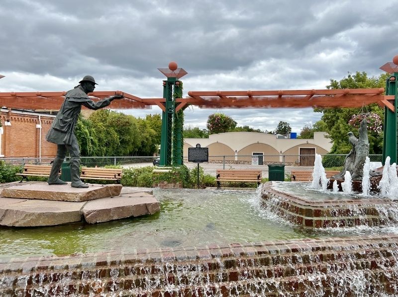
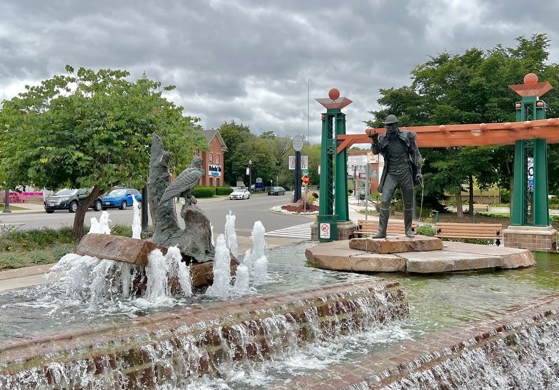
The energetic surveyor had an extraordinary capacity for work. During the 1790s, he recalled in 1832, he “surveyed the greater part of the Townships from Fort Erie to the head of Lake Ontario,” the lands(Submitted on September 13, 2023, by Tim Boyd of Hamilton, Ontario.)along the Grand River, “the course of the north shore of Lake Ontario, from Toronto to the river Trent,” town plots for Niagara (Niagara-on-the-Lake) and York, Dundas Street linking Lake Ontario and the Detroit frontier, and Yonge Street connecting lakes Ontario and Simcoe.Photographed by Tim Boyd, September 13, 20233. The Augustus Jones monument by Les Drysdale, Stoney Creek
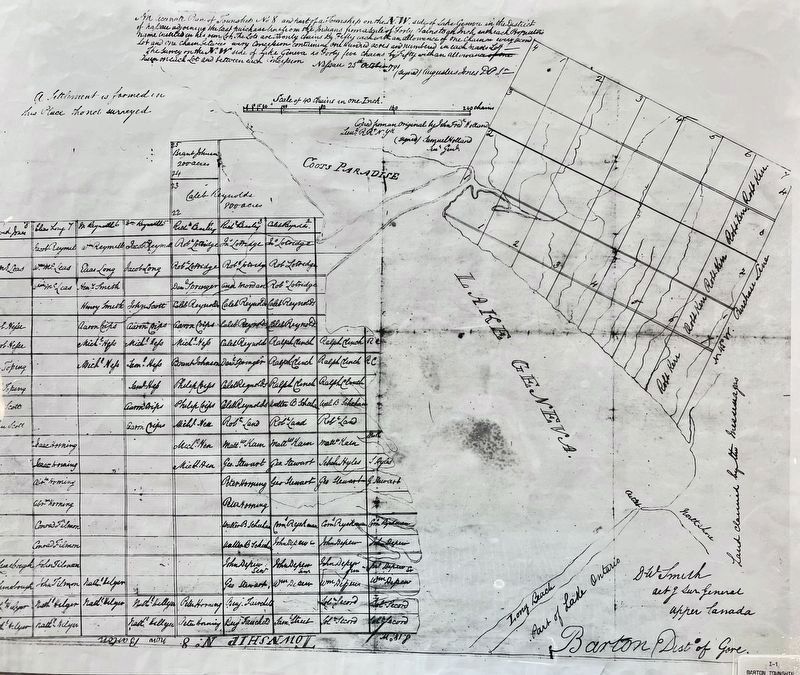
4. Augustus Jones’ survey of Barton Township, 1791
Source: Hamilton Public Library
Credits. This page was last revised on September 30, 2025. It was originally submitted on September 13, 2023, by Tim Boyd of Hamilton, Ontario. This page has been viewed 855 times since then and 112 times this year. Last updated on September 9, 2025, by Kevin Westell of St. Catharines, Ontario. Photos: 1, 2, 3, 4. submitted on September 13, 2023, by Tim Boyd of Hamilton, Ontario. • Devry Becker Jones was the editor who published this page.
