Near Riverdale in McLean County, North Dakota — The American Midwest (Upper Plains)
Growing out of the wheat fields and many have since returned.
Photographed by Barry Swackhamer, July 23, 2025
1. Growing out of the wheat fields and many have since returned. Marker
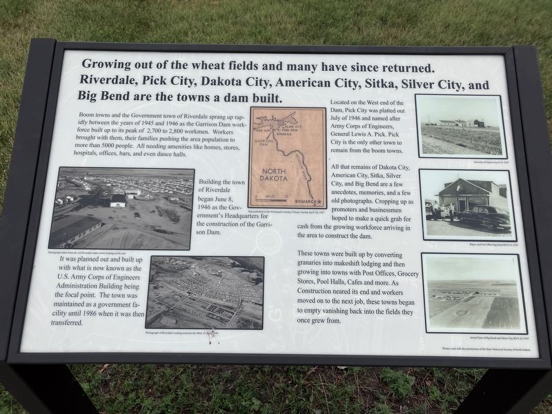
Captions: (middle left) Photograph taken from the old Riverdale water tower looking north east.; (bottom left) Photograph of Riverdale looking towards the West 15 April, 1949; (top center) Map published in the Minneapolis Sunday Tribue, Sunday April 7th, 1957;Townsite of Dakota City 8-31-1947; (middle right) Mayor and Post Office Big Bend ND 8-31-1947; (bottom right) Aerial View of Big Bend and Silver City ND 9-23-1947.
Boom towns and the Government town of Riverdale sprang up rapidly between the years of 1945 and 1946 as the Garrison Dam workforce built up to its peak of 2,700 to 2,800 workmen. Workers brought with them, their families pushing the area population to more than 5000 people. All needing amenities like homes, stores, hospitals, offices, bars, and even dance halls.
Building the town of Riverdale began June 8, 1946 as the Government's Headquarters for the construction of the Garrison Dam. It was planned out and built up with what is now known as the U.S. Army Corps of Engineers Administration Building being the focal point. The town was maintained as a government facility until 1986 when it was then transferred.
Located on the West end of the Dam, Pick City was platted out July of 1946 and named after Army Corps of Engineers, General Lewis A. Pick. Pick City is the only other town to remain from the boom towns.
All that remains of Dakota City, American City, Sitka, Silver City and Big Bend are a few old
this page online
These towns were built up by converting granaries into makeshift lodging and then growing into towns with Post Offices, Grocery Stores, Pool Halls, Cafes, and more. As Construction neared its end and workers moved on to the next job, these towns began to empty, vanishing back into the fields they once grew from.
Erected by US Army Corps of Engineers.
Topics. This historical marker is listed in these topic lists: Man-Made Features • Settlements & Settlers. A significant historical date for this entry is June 8, 1946.
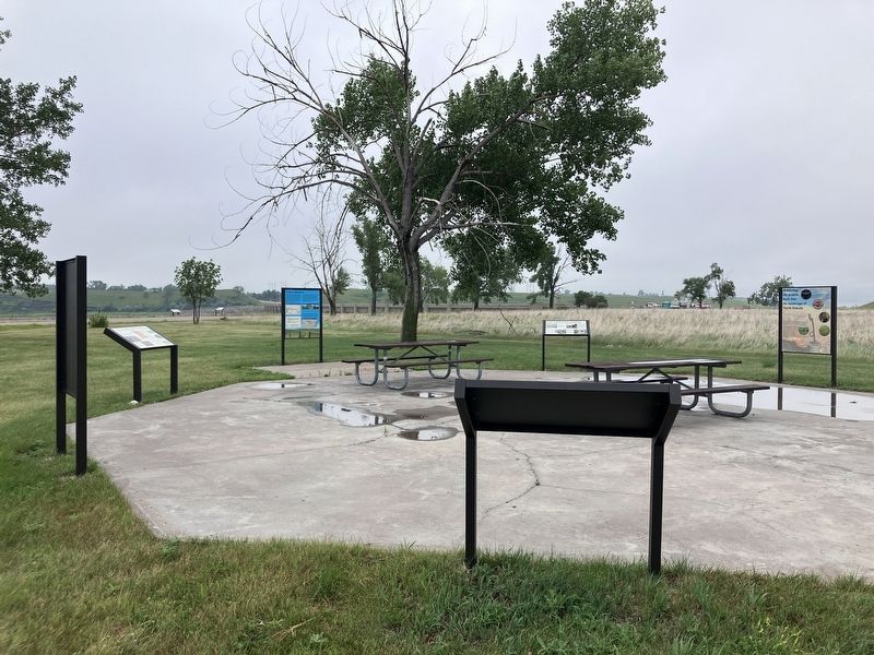
Location. 47° 29.533′ N, 101° 23.515′ W. Marker is near Riverdale, North Dakota, in McLean County. It is on State Highway 200 near West Missouri Drive, on the right when traveling east. The marker is located at the Garrison Dam Overlook. Touch for map. Marker is in this post office area: Riverdale ND 58565, United States of America. Touch for directions.

Regionally, this marker is in the Mandan, Hidatsa, and Arikara Nation, in the Standing Rock Sioux Tribe,
Photographed by Barry Swackhamer, July 23, 2025
2. Growing out of the wheat fields and many have since returned. Marker
Other nearby markers. At least 8 other markers are within 3 miles of this marker, measured as the crow flies: Taming the mighty Missouri by building the world's largest rolled earth dam of its time. (here, next to this marker); Garrison Dam Overlook (within shouting distance of this marker); The Mandan, Hidatsa, and Arikara (within shouting distance of this marker); Displaced Communities (within shouting distance of this marker); The Spillway Bridge is often believed to be "the dam", (about 300 feet away, measured in a direct line); Riverdale (about 300 feet away); Powerhouse (approx. 2.2 miles away); Garrison Dam (approx. 2.2 miles away). Touch for a list and map of all markers in Riverdale.
Credits. This page was last revised on September 10, 2025. It was originally submitted on September 10, 2025, by Barry Swackhamer of Brentwood, California. This page has been viewed 118 times since then and 67 times this year. Photos: 1, 2. submitted on September 10, 2025, by Barry Swackhamer of Brentwood, California.
