Near Riverdale in McLean County, North Dakota — The American Midwest (Upper Plains)
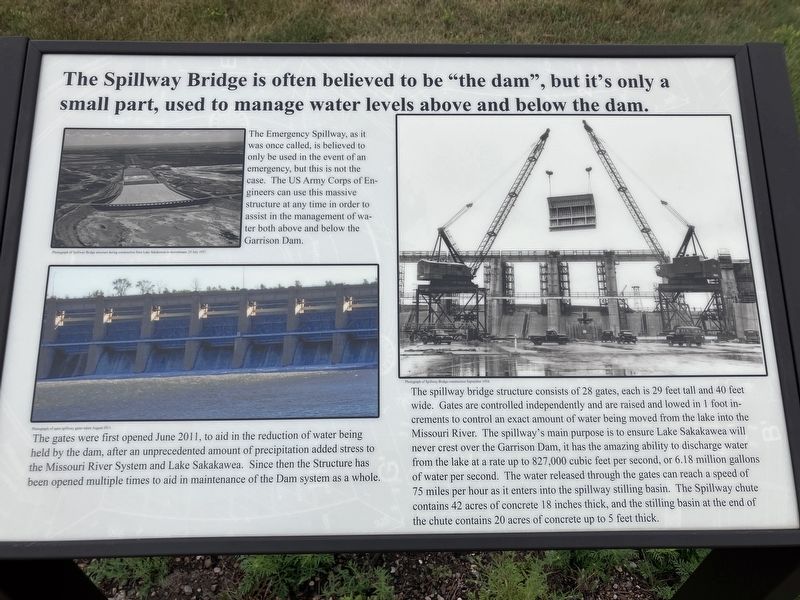
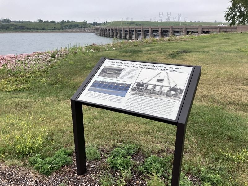
The Spillway Bridge is often believed to be "the dam",
Photographed by Barry Swackhamer, July 23, 2025
1. The Spillway Bridge is often believed to be "the dam", Marker
(photo upper left:) The Emergency Spillway, as it was once called, is believed to only be used in the event of and emergency, but this is not the case. The US Army Corps of Engineers can use this massive structure at any time in order to assist in the management of water both above and below the Garrison Dam.
(photo bottom left:) The gates were first opened June 2011, to aid in the reduction of water being held by the dam, after an unprecedented amount of precipitation added stress to The Missouri River System and Lake Sakakawea. Since then the Structure has been opened multiple times to aid in maintenance of the Dam system as a whole.
The spillway bridge structure consists of 28 gates, each is 29 feet tall and 40 feet wide, Gates are controlled independently and are raised and lowed in 1 foot increments to control an exact amount of water being moved from the lake into the Missouri River. The spillway's main purpose is to ensure Lake Sakakawea will never crests over the Garrison Dam. It has the amazing ability to discharge
this page online
Erected by US Army Corps of Engineers.
Topics. This historical marker is listed in this topic list: Man-Made Features.
Location. 47° 29.502′ N, 101° 23.464′ W. Marker is near Riverdale, North Dakota, in McLean County. It is on State Highway 200 near West Missouri Drive, on the right when traveling west. The marker is located at the Garrison Dam Overlook. Touch for map. Marker is in this post office area: Riverdale ND 58565, United States of America. Touch for directions.

Regionally, this marker is in the Mandan, Hidatsa, and Arikara Nation, in the Standing Rock Sioux Tribe, in the Drift Prairie, and on the Missouri Plateau. It is also in the American Lewis & Clark Corridor, on the prairies,
Photographed by Barry Swackhamer, July 23, 2025
2. The Spillway Bridge is often believed to be "the dam", Marker
Other nearby markers. At least 8 other markers are within 3 miles of this marker, measured as the crow flies: Riverdale (here, next to this marker); Taming the mighty Missouri by building the world's largest rolled earth dam of its time. (about 300 feet away, measured in a direct line); Growing out of the wheat fields and many have since returned. (about 300 feet away); Garrison Dam Overlook (about 400 feet away); The Mandan, Hidatsa, and Arikara (about 400 feet away); Displaced Communities (about 400 feet away); Powerhouse (approx. 2.2 miles away); Garrison Dam (approx. 2.2 miles away). Touch for a list and map of all markers in Riverdale.
Credits. This page was last revised on September 10, 2025. It was originally submitted on September 10, 2025, by Barry Swackhamer of Brentwood, California. This page has been viewed 71 times since then and 25 times this year. Photos: 1, 2. submitted on September 10, 2025, by Barry Swackhamer of Brentwood, California.
