
Callander in Parry Sound District, Ontario — Central Canada (North America)
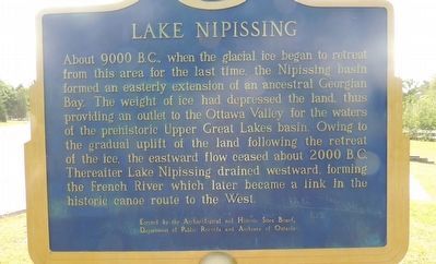
Lake Nipissing
Photographed by Kevin Westell, August 28, 2017
1. Lake Nipissing - Marker
Erected by Archaeological and Historic Sites Board, Department of Public Records and Archives of Ontario.
Topics and series. This historical marker is listed in this topic list: Natural Features. In addition, it is included in the Canada, Ontario Heritage Trust series list. A significant historical year for this entry is 9000 BCE.
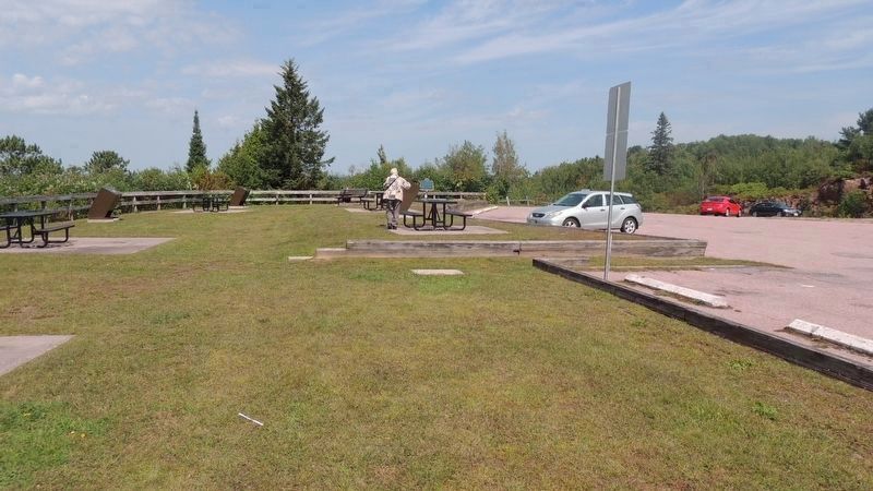
Location. 46° 12.32′ N, 79° 21.742′ W. Marker is in Callander, Ontario, in Parry Sound District. It is on Callander Bay Drive, on the right when traveling south. The marker is at the north end of the grassy portion of a picnic area,
this page online

Regionally, this marker is in Central Ontario Cottage Country, in Muskoka and Parry Sound and Algonquin Park. It is also in Central Canada. Globally, it is in North America, in the Great North Woods, on the Great Lakes, in the Western Hemisphere, in the Western World, and in the Anglosphere. Historically, it finds itself in what was once a British colony, the Viceroyalty of New France, the Haudenosaunee (Iroquois) Confederacy, and Rupert’s Land.
Other nearby markers. At least 8 other markers are within 13 kilometers of this marker, measured as the crow flies: La Vase River (approx. 6.3 kilometers away); 400 Years of Francophone Presence / 400 ans de présence francophone (approx. 6.3 kilometers away); La Vase Portages (approx. 11 kilometers away); Veterans Fields (approx. 12.5 kilometers away); The Bomarc Missile (approx. 12.5 kilometers away); The CF100 Canuck (approx. 12.6 kilometers away); Gateway of the North Arch (approx. 12.6 kilometers away);
Photographed by Kevin Westell, August 28, 2017
2. Lake Nipissing Lookout
Photo faces north, and includes most of the grassy portion of the picnic area. The black car (far right) is on the road. The marker (distant centre) is beside the fence bordering the north edge of the picnic area. Out-of-frame left is a beautiful view of islands and bays on Lake Nipissing.
Also see . . . Lake Nipissing -- article by The Canadian Encyclopedia. (Submitted on September 11, 2025, by Kevin Westell of St. Catharines, Ontario.)
Photographed by Kevin Westell, August 28, 2017
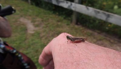
3. Lake Nipissing Grasshopper
Where there is grass, there are grasshoppers. With the ground frozen over half the year, all living things make the most of the long summer days.
Credits. This page was last revised on September 11, 2025. It was originally submitted on September 11, 2025, by Kevin Westell of St. Catharines, Ontario. This page has been viewed 77 times since then and 21 times this year. Photos: 1, 2, 3. submitted on September 11, 2025, by Kevin Westell of St. Catharines, Ontario. • Andrew Ruppenstein was the editor who published this page.
