Walpole in Norfolk County, Massachusetts — The American Northeast (New England)
This Memorial Bridge
Photographed by Conrad Ward, March 2, 2025
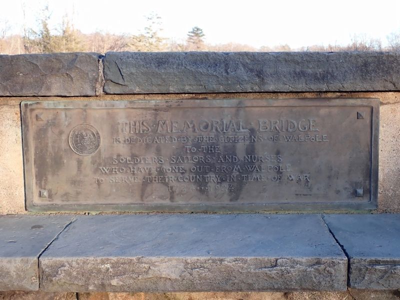
1. This Memorial Bridge Marker
(east side)
is Dedicated by the Citizens of Walpole
to the
Soldiers Sailors and Nurses
Who have gone out from Walpole
to Serve their Country in Time of War
1724 ··· 1924
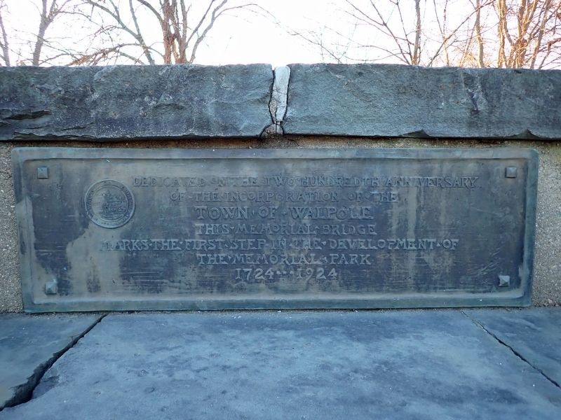
(west side)
of the Incorporation of the
Town of Walpole
This Memorial Bridge
Marks the First Step in the Development of
the Memorial Park
1724 ··· 1924
Erected 1924 by Town of Walpole.
Topics. This memorial is listed in these topic lists: Roads & Vehicles • Settlements & Settlers.
Location. 42° 8.766′ N, 71° 14.945′ W. Memorial is in Walpole, Massachusetts, in Norfolk County. It is on School Street south of East Street (Massachusetts Route 27). Touch for map. Memorial is in this post office area: Walpole MA 02081, United States of America. Touch for directions.

Regionally, this memorial is in Greater Boston. It is also in the American Northeast, in New England, and on the Eastern Seaboard. Globally, it is in the North Atlantic Region, North America, the Western Hemisphere, the Western World, and
this page online
Other nearby markers. At least 8 other markers are within walking distance of this marker: Historic and Cultural Resources (within shouting distance of this marker); Old Walpole Town Hall (approx. 0.2 miles away); Walpole French and Indian War Monument (approx. ¼ mile away); Old Meeting House Common (approx. ¼ mile away); "Rocky" Flagpole (approx. ¼ mile away); Walpole Armed Forces Memorial (approx. ¼ mile away); Desert Shield / Desert Storm Memorial (approx. ¼ mile away); C.S. Bird Fountain (approx. ¼ mile away). Touch for a list and map of all markers in Walpole.
Photographed by Conrad Ward, March 2, 2025
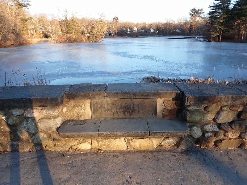
2. This Memorial Bridge Marker
Photographed by Conrad Ward, March 2, 2025
3. This Memorial Bridge Marker
Photographed by Conrad Ward, March 2, 2025
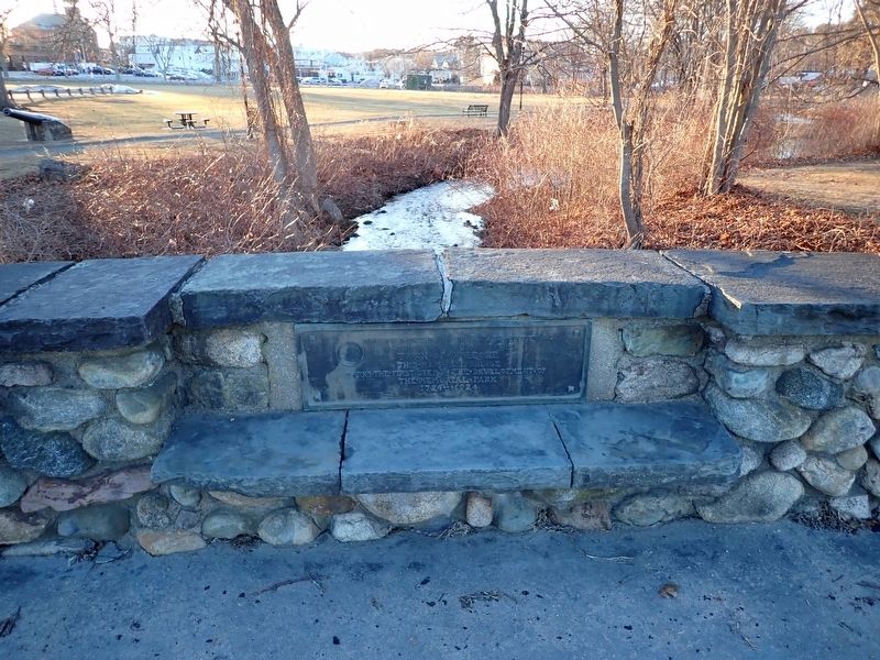
4. This Memorial Bridge Marker
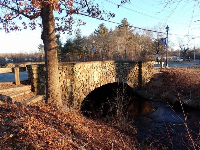
Photographed by Conrad Ward, March 2, 2025
5. Memorial Bridge
Credits. This page was last revised on September 18, 2025. It was originally submitted on September 11, 2025, by Conrad Ward of Guilford, Connecticut. This page has been viewed 88 times since then and 38 times this year. Photos: 1, 2, 3, 4, 5. submitted on September 11, 2025, by Conrad Ward of Guilford, Connecticut. • Michael Herrick was the editor who published this page.
