Enterprise in Washington County, Utah — The American Mountains (Southwest)
Hamblin Village
Photographed by Jeremy Snow, September 11, 2025
1. Hamblin Village Marker
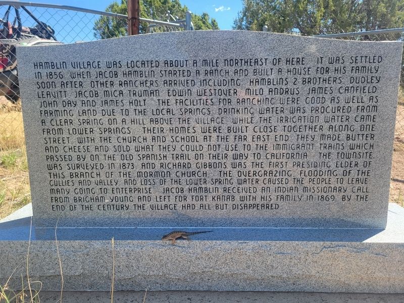
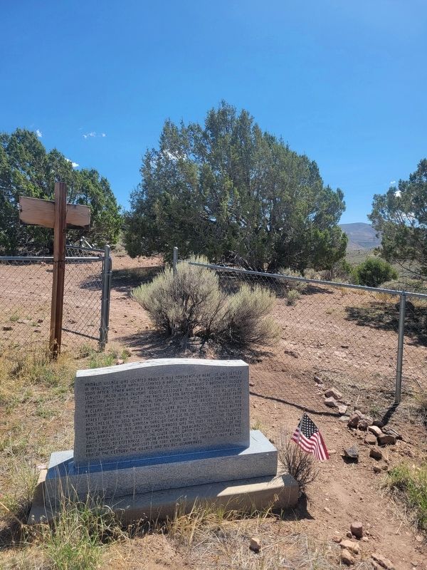
Hamblin village was located about a mile northeast of here It was settled in 1856 when Jacob Hamblin started a ranch and built a house for his family. Soon after other ranchers arrived including Hamblins 2 brothers Dudley, Leavitt Jacob, Mica Truman, Edwin Westover, Milo Andrus, James Canfield, John Day and James Holt The facilities for ranching were good as well as farming land due to the local springs Drinking water was procured from a clear spring on a hill above the village while the irrication water came from lower springs Their homes were built close together along one street with the church and school at the far east end They made butter and cheese and sold what they could not use to the immigrant trains which passed by on the Old Spanish Trail on their way to California The townsite was surveyed in 1873 and Richard Gibbons was the first Presiding Elder of this Branch of the Mormon church The overgrazing, flooding of the gullies and valley, and loss of the lower spring water caused the people to leave many going to Enterprise Jacob Hamblin received an Indian missionary call from Brigham Young and
this page online
Erected 2000 by Sons of Utah Pioneers. (Marker Number 95.)
Topics and series. This historical marker is listed in these topic lists: Agriculture • Settlements & Settlers. In addition, it is included in the Sons of Utah Pioneers series list. A significant historical year for this entry is 1856.
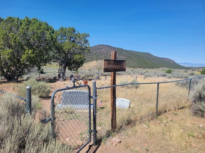
Location. 37° 32.178′ N, 113° 36.46′ W. Marker is in Enterprise, Utah, in Washington County. It can be reached from 30732. Marker located just inside the Hamblin Cemetery. Touch for map. Marker is at or near this postal address: FR 732, Central UT 84722, United States of America. Touch for directions.

Regionally, this marker is in Color Country. It is also in the American Southwest, in the Mountain West, and on the Colorado Plateau. Globally, it is in North America, the Rocky Mountains, the Western Hemisphere, the Western World, and the Anglosphere. Historically, it finds itself in what was once New Spain and also Mexico’s Alta California.
Other nearby markers. At least 8 other markers are within 5 miles of this marker,

Photographed by Jeremy Snow, September 11, 2025
2. Hamblin Village Marker (backside)
Photographed by Jeremy Snow, September 11, 2025
3. Hamblin Village Marker
Photographed by Jeremy Snow, September 11, 2025
4. Hamblin Cemetery
Credits. This page was last revised on September 19, 2025. It was originally submitted on September 11, 2025, by Jeremy Snow of Cedar City, Utah. This page has been viewed 146 times since then and 74 times this year. Photos: 1, 2, 3, 4. submitted on September 11, 2025, by Jeremy Snow of Cedar City, Utah. • Andrew Ruppenstein was the editor who published this page.
