Central in Washington County, Utah — The American Mountains (Southwest)
Mountain Meadows Massacre
Site 3: Memorial to the Men and Older Boys
| — | National Historic Landmark | — |
Photographed by Jeremy Snow, September 11, 2025
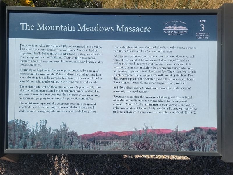
1. Mountain Meadows Massacre Marker
Beginning on September 7, the camp was attacked by a group of Mormon militiamen and the Paiute Indians they had recruited. In a five-day siege fueled by complex hostilities, the attackers killed at least 10 men who fought valiantly to defend family and friends.
The emigrants fought off their attackers until September 11, when Mormon militiamen entered the encampment under a white flag of truce. The militiamen deceived their victims into surrendering weapons and property in exchange for protection and safety.
The militiamen separated the emigrants into three groups and marched them from the camp. The wounded and some small children rode in wagons, followed by women and older girls on foot with other children. Men and older boys walked some distance behind, each escorted by a Mormon militiaman.
At
this page online
In 1859, soldiers in the United States Army buried the victims' scattered, scavenged remains.
Seventeen years after the massacre, a federal grand jury indicted nine Mormon militiamen for crimes related to the siege and massacre. About 50 other militiamen were involved, along with an unknown number of Paiutes. Only one, John D. Lee, was brought to trial and convicted. He was executed near here on March 23, 1877.
(Marker Number 3.)
Topics. This historical marker is listed in this topic list: Notable Events. A significant historical date for this entry is September 11, 1857.
Location. 37° 29.268′ N, 113° 37.822′ W. Marker is in Central, Utah,
Photographed by Jeremy Snow, September 11, 2025
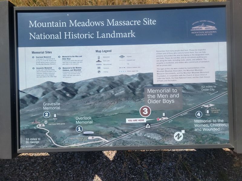
2. Mountain Meadows Massacre Sites Map

Regionally, this marker is in Color Country. It is also in the American Southwest, in the Mountain West, and on the Colorado Plateau. Globally, it is in North America, the Rocky Mountains, the Western Hemisphere, the Western World, and the Anglosphere. Historically, it finds itself in what was once New Spain and also Mexico’s Alta California.
Other nearby markers. At least 8 other markers are within walking distance of this marker: A different marker also named Mountain Meadows Massacre (here, next to this marker); The Surviving Children (approx. ¾ mile away); A Senator's Recollection (approx. ¾ mile away); In Honored Remembrance (approx. ¾ mile away); 1990 Mountain Meadows Monument (approx. ¾ mile away); The Old Spanish Trail and The California Road (approx. ¾ mile away); The Arkansas Wagon Train (approx. ¾ mile away); a different marker also named The Mountain Meadows Massacre (approx. ¾ mile away).
Photographed by Jeremy Snow, September 11, 2025
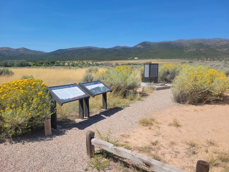
3. Mountain Meadows Massacre Marker
Credits. This page was last revised on September 14, 2025. It was originally submitted on September 11, 2025, by Jeremy Snow of Cedar City, Utah. This page has been viewed 132 times since then and 67 times this year. Photos: 1, 2, 3. submitted on September 11, 2025, by Jeremy Snow of Cedar City, Utah. • Andrew Ruppenstein was the editor who published this page.
