Near Atoka in Atoka County, Oklahoma — The American South (West South Central)
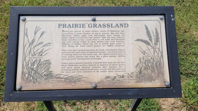
Prairie Grassland
Photographed by James Hulse, September 10, 2025
1. Prairie Grassland Marker
With roots that reached deep into the earth, this blanket of grass protected the earth from its timeless enemies - the erosive action of swirling wind and torrential rain. The tightly matted roots of these prairie grasses also acted like a giant sponge, holding precious water during times of drought.
Today, native grasses continue to benefit both man and the land Many Oklahoma ranchers depend on pastures of native grasses and these plants likewise continue their timeless role of providing wildlife with food and cover. As you visit this park, look for these and other members of the prairie plant community.
Big Bluestem • Switchgrass • Little Bluesram
this page online
Topics. This historical marker is listed in these topic lists: Environment • Settlements & Settlers.
Location. 34° 19.173′ N, 96° 18.448′ W. Marker is near Atoka, Oklahoma, in Atoka County. It is on Park Drive 1½ miles north of W Boggy Depot Rd, on the left when traveling north. The marker is located on grounds of the Historic Boggy Depot State Park. Touch for map. Marker is at or near this postal address: 475 Park Dr, Atoka OK 74525, United States of America. Touch for directions.

Regionally, this marker is in the Choctaw Nation and in Southeast Oklahoma—Choctaw Country. It is also in the American South, specifically on the prairies, and on the Southern Plains. Globally, it is in North America, the Western Hemisphere, the Western World, and the Anglosphere. Historically, it finds itself in what was once the territory of the Mississippian Culture and also the Louisiana Purchase.
Other nearby markers. At least 8 other markers are within 12 miles of this marker, measured as the crow flies: Chickasaw and Choctaw Nations during the Civil War (about 500
Photographed by James Hulse, September 10, 2025
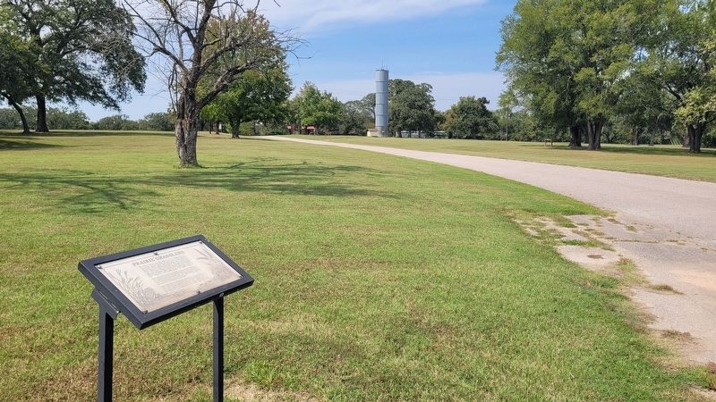
2. Prairie Grassland Marker
Credits. This page was last revised on September 13, 2025. It was originally submitted on September 12, 2025, by James Hulse of Medina, Texas. This page has been viewed 68 times since then and 24 times this year. Photos: 1, 2. submitted on September 13, 2025, by James Hulse of Medina, Texas.
