McAlester in Pittsburg County, Oklahoma — The American South (West South Central)
Baptist Women in Oklahoma
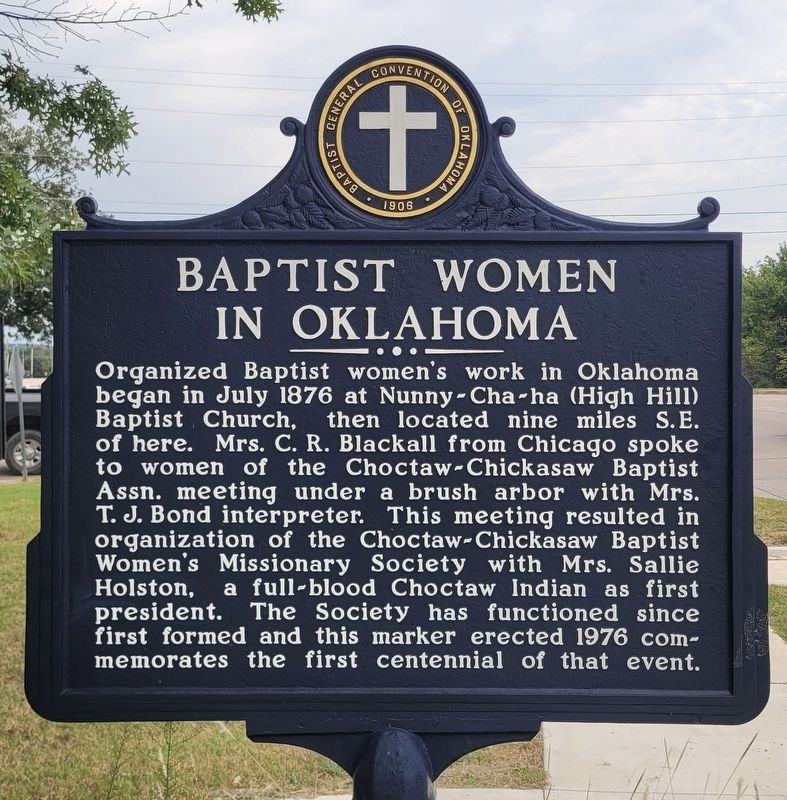
Photographed by James Hulse, September 10, 2025
1. Baptist Women in Oklahoma Marker
Erected by General Baptist Convention of Oklahoma.
Topics. This historical marker is listed in these topic lists: Religion & Religious Structures • Women. A significant historical month for this entry is July 1876.
Location. 34° 56.02′ N, 95° 44.954′ W. Marker is in McAlester, Oklahoma, in Pittsburg County. It is at the intersection of N Strong Blvd and E Monroe Ave, on the left when traveling north on N Strong Blvd. The marker is located at the corner of the intersection. Touch for map. Marker is at or near this postal address: 1330 E Monroe
this page online

Regionally, this marker is in the Choctaw Nation and in Southeast Oklahoma—Choctaw Country. It is also in the American South, specifically on the prairies, and on the Southern Plains. Globally, it is in North America, the Western Hemisphere, the Western World, and the Anglosphere. Historically, it finds itself in what was once the territory of the Mississippian Culture and also the Louisiana Purchase.
Other nearby markers. At least 8 other markers are within 2 miles of this marker, measured as the crow flies: William Mark Sexson Memorial (approx. 0.9 miles away); Supreme Assembly, International Order of the Rainbow for Girls (approx. 0.9 miles away); Largest Lump of McAlester Coal (approx. one mile away); German Castle (approx. one mile away); Scottish Rite Temple (approx. one mile away); Veterans Memorial (approx. one mile away); Busby Office Building (approx. one mile away); Tobucksy County Court House (approx. 1.6 miles away). Touch for a list and map of all markers in McAlester.
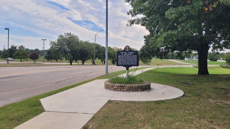
Photographed by James Hulse, September 10, 2025
2. The view of the Marker along the street
Credits. This page was last revised on September 13, 2025. It was originally submitted on September 12, 2025, by James Hulse of Medina, Texas. This page has been viewed 92 times since then and 33 times this year. Photos: 1, 2. submitted on September 13, 2025, by James Hulse of Medina, Texas.
