Benicia in Solano County, California — The American West (Pacific Coastal)
Playground of Dreams
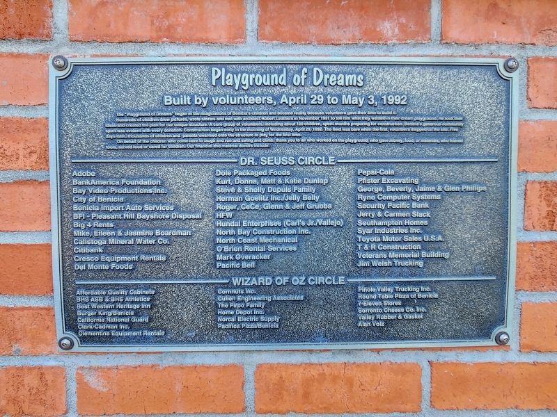
Built by volunteers, April 29 to May 3, 1992
Photographed by Douglass Halvorsen, July 25, 2025
1. Playground of Dreams Marker
On behalf of the children who come here to laugh and run and swing and climb, thank you to all who worked on the playground, who gave money, food, or materials, who loaned tools, served food or cared for children.
Dr. Seuss Circle
Adobe • BankAmerica Foundation • Bay Video Productions Inc. • City of Benicia • Benicia Import Auto Services • BFI -
this page online
Wizard of Oz Circle
Affordable Quality Cabinets • BHS ASB & BHS Athletics • Best Western Heritage Inn • Burger King/Benicia • California National Guard • Clark Cadman Inc. • Clemintina Equipment Rentals • Cornnuts Inc. • Cullen Engineering Associates • The Firpo Family • Home Depot Inc. • NorcalElectric Supply • Pacifica Pizza/Benicia • Pinole Valley Trucking Inc. • Round Table
Photographed by Douglass Halvorsen, July 25, 2025
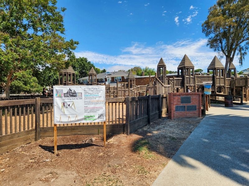
2. Playground of Dreams Marker
Topics. This historical marker is listed in this topic list: Parks & Recreational Areas. A significant historical date for this entry is April 29, 1992.
Location. 38° 3.223′ N, 122° 9.446′ W. Marker is in Benicia, California, in Solano County. It is on West K Street, on the right when traveling west. Touch for map. Marker is at or near this postal address: 101-199 W K Street, Benicia CA 94510, United States of America. Touch for directions.

Regionally, this marker is in the San Francisco Bay Area, in the Sacramento Valley, and specifically in the Central Valley. It is also on the American Pacific Coast. Globally, it is in North America, on the Ring of Fire, on the Pacific Rim, in the Western Hemisphere, in the Western World, and in the Anglosphere. Historically, it finds itself in what was once New Spain and also Mexico’s Alta California.
Other nearby markers. At least 8 other markers are within walking distance of this marker: Site of the First Protestant Church in California (within shouting distance of this marker); Site of Benicia Seminary
Photographed by Douglass Halvorsen, July 25, 2025
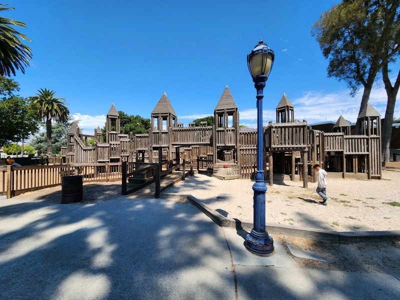
3. Playground of Dreams
Photographed by Douglass Halvorsen, July 25, 2025
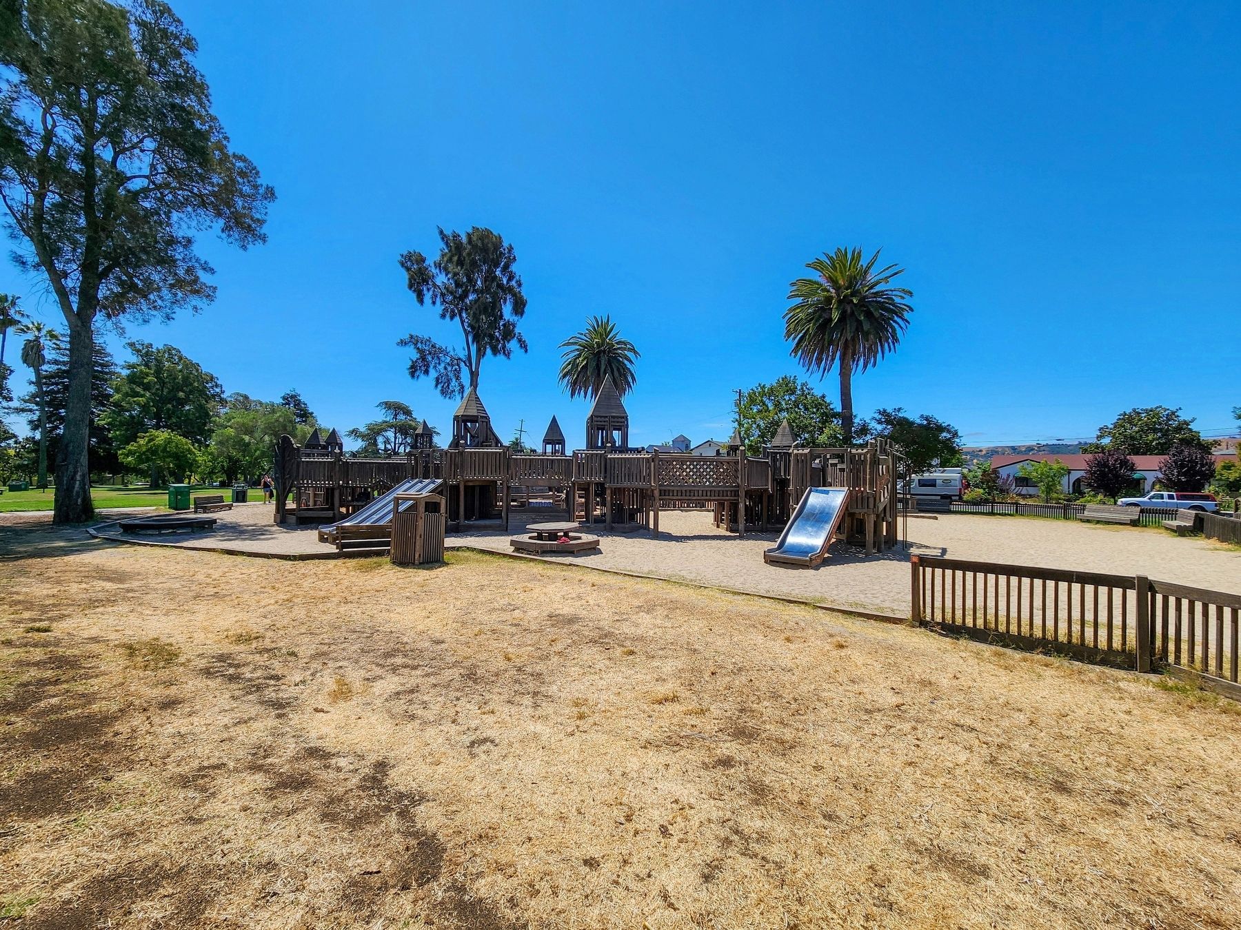
4. Playground of Dreams
Credits. This page was last revised on October 5, 2025. It was originally submitted on September 13, 2025, by Douglass Halvorsen of Klamath Falls, Oregon. This page has been viewed 109 times since then and 69 times this year. Photos: 1, 2, 3, 4. submitted on September 13, 2025, by Douglass Halvorsen of Klamath Falls, Oregon. • Andrew Ruppenstein was the editor who published this page.
