Near Sanger in Oliver County, North Dakota — The American Midwest (Upper Plains)
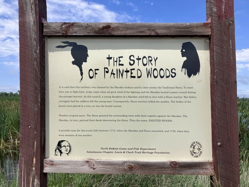
The Story of Painted Woods
Photographed by Barry Swackhamer, July 22, 2025
1. The Story of Painted Woods Marker
Warfare erupted anew. The Sioux painted the surrounding trees with their exploits against the Mandan. The Mandan, in turn, painted their deeds denouncing the Sioux. Thus the, PAINTED WOODS.
A possible time for this event falls between 1715, when the Mandan and Sioux counseled, and 1738, when they were enemies of one another.
Erected by North Dakota Game and Fish Department, Sakakawea Chapter, Lewis and Clark Trail Heritage Foundation.
Topics. This historical marker is listed in this topic list: Indigenous Peoples and Communities.
Location. 47° 12.478′ N, 100° 58.108′ W.
this page online

Regionally, this marker is in the Standing Rock Sioux Tribe, on the Missouri Plateau, and in Greater Bismarck Area. It is also in the American Lewis & Clark Corridor, on the prairies, and on the Northern Plains. Globally, it is in North America, the Western Hemisphere, the Western World, and the Anglosphere. Historically, it finds itself in what was once Rupert’s Land and also the Louisiana Purchase.
Other nearby markers. At least 8 other markers are within 7 miles of this marker, measured as the crow flies: Painted Woods (here, next to this marker); The Missouri: An Early Highway (approx. 1.3 miles away); The Missouri : A Landscape Altered (approx. 1.3 miles away); The Missouri: Origin and History (approx. 1.4 miles away); Cross Ranch (approx. 2 miles away); "A Buitifull Countrey" (approx. 2 miles away); Taylor Cabin (approx. 6.1 miles away); Soo Line Railroad & Depot
Photographed by Barry Swackhamer, July 22, 2025
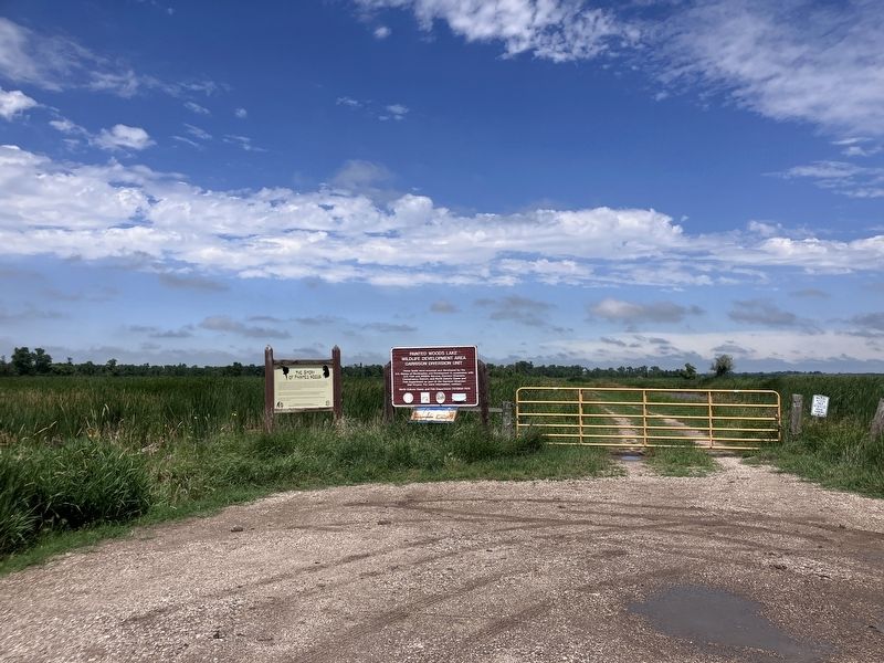
2. The Story of Painted Woods Marker
More about this marker. It is hard to call 14m Street SW a street. Do not take if there have been recent rains. There is good bird watching though.
Credits. This page was last revised on September 14, 2025. It was originally submitted on September 14, 2025, by Barry Swackhamer of Brentwood, California. This page has been viewed 81 times since then and 33 times this year. Photos: 1, 2. submitted on September 14, 2025, by Barry Swackhamer of Brentwood, California.
