Presidio of San Francisco in San Francisco City and County, California — The American West (Pacific Coastal)
Public Health Service District
Presidio of San Francisco

Photographed by Douglass Halvorsen, July 26, 2025
1. Public Health Service District Marker
A new hospital complex was built in 1932 and remained in operation until 1981 when the federal government closed all Public Health Service Hospitals.
The 1932 campus remains intact and was rehabilitated in 2010 for a mix of residential, office, and recreational uses. Revenues from use of the buildings support the operation and management of the Presidio.
The district was certified by the U.S. Green Building Council's Leadership in Energy and Environmental Design (LEED) Neighborhood Development program, one of the first in the nation.
[Caption]
The hospital campus as it appeared in 1932. The Hospital is to the left the Nurses' Quarters is to the lower right with the Power Plant is behind it Housing for surgeons is to the far right along Wyman Avenue and the Presidio Golf Course is to the upper right.
For an online experience of this exhibit visit www.presidio.gov
Erected by National
this page online
Topics. This historical marker is listed in these topic lists: Military • Science & Medicine. A significant historical year for this entry is 1875.
Location. 37° 47.28′ N, 122° 28.504′ W. Marker is in San Francisco, California, in San Francisco City and County. It is in Presidio of San Francisco. It is on Wedemeyer Street, on the right when traveling north. Touch for map. Marker is at or near this postal address: 1801 Wedemeyer Street, San Francisco CA 94129, United States of America. Touch for directions.

Regionally, this marker is on the Coast Ranges. It is also on the American Pacific Coast. Globally, it is in North America, on the Ring of Fire, on the Pacific Rim, in the Western Hemisphere, in the Western World, and in the Anglosphere. Historically, it finds itself in what was once New Spain and also Mexico’s Alta California.
Other nearby markers. At least 8 other markers are within one mile of this marker, measured as the crow flies: Hospital to Housing (within shouting distance of this marker); The Anza Expedition Camped Here (approx. ¼ mile away); San Francisco's First People
Photographed by Douglass Halvorsen, July 26, 2025
2. Public Health Service District Marker

Photographed by Douglass Halvorsen, July 26, 2025
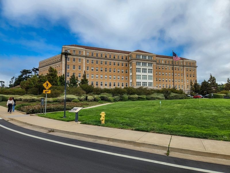
3. former Public Health Service Hospital
Rehabilitation of the building was completed in 2010. It’s now the Presidio Landmark residences.
Photographed by Douglass Halvorsen, July 26, 2025
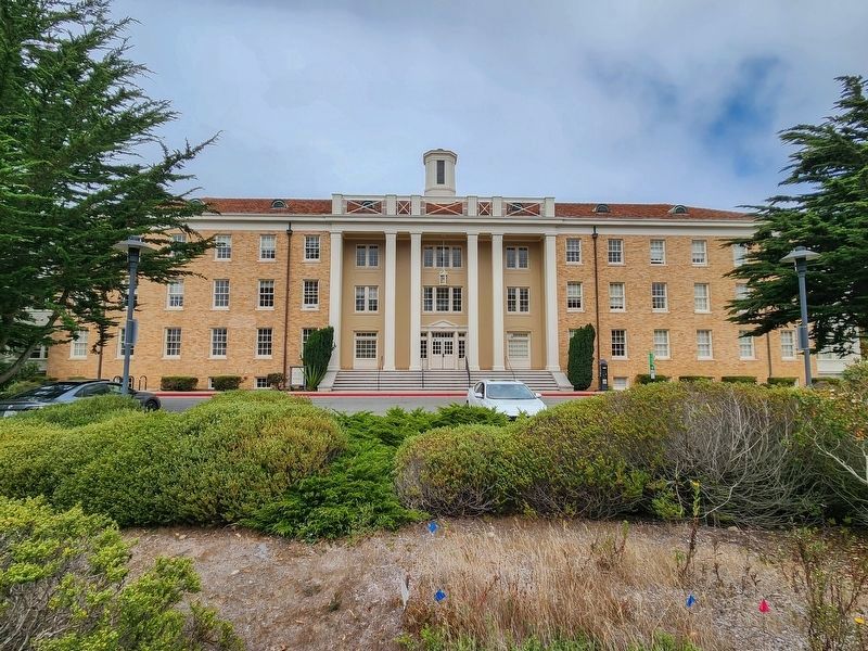
4. former Nurses' Quarters
Former Nurses' Quarters, as mentioned in the marker and part of the Public Health Service District.
Credits. This page was last revised on September 14, 2025. It was originally submitted on September 14, 2025, by Douglass Halvorsen of Klamath Falls, Oregon. This page has been viewed 90 times since then and 42 times this year. Photos: 1, 2, 3, 4. submitted on September 14, 2025, by Douglass Halvorsen of Klamath Falls, Oregon. • Andrew Ruppenstein was the editor who published this page.
