Presidio of San Francisco in San Francisco City and County, California — The American West (Pacific Coastal)
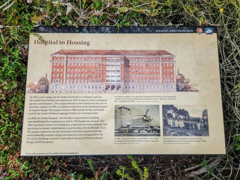
Hospital to Housing
Presidio of San Francisco
Photographed by Douglass Halvorsen, July 26, 2025
1. Hospital to Housing Marker
In 2010, the former hospital—the Presidio's largest historic building— was rehabilitated for residential use and its 1932 façade was restored. The effort was led by Forest City Enterprises, a national real estate company that specializes in historic rehabilitation, in partnership with the Presidio Trust. The project represents the best principles of historic preservation and environmentally-sensitive design and materials and is recognized by the U.S. Green Building Council’s Leadership in Energy and Environmental Design (LEED) program.
[Caption one]
US Marine Hospital, Front Elevation Designed by the Office of the Supervising Architect of the Treasury Department headed
this page online
[Caption two]
1952, wings were added to the hospital. In the 1960s, U.S. Coast Guard helicopters ferried critically-patients.
[Caption three]
Public Health Service physicians and nurses at the groundbreaking for the new hospital on April 7, 1930
For an online experience of this exhibit visit www.presidio.gov
Erected by National Park Service; The Presidio Trust.
Topics. This historical marker is listed in these topic lists: Architecture • Military • Science & Medicine. A significant historical date for this entry is April 7, 1930.
Location. 37° 47.296′ N, 122° 28.463′ W. Marker is in San Francisco, California, in San Francisco City and County. It is in Presidio of San Francisco. It can be reached from Wedemeyer Street. Touch for map. Marker is at or near this postal address: 1801 Wedemeyer Street, San Francisco CA 94129, United States of America. Touch for directions.

Regionally, this marker is on the Coast Ranges. It is also on the American Pacific Coast. Globally, it is in North America, on the Ring of Fire, on the Pacific Rim, in the Western Hemisphere,
Photographed by Douglass Halvorsen, July 26, 2025
2. Hospital to Housing Marker
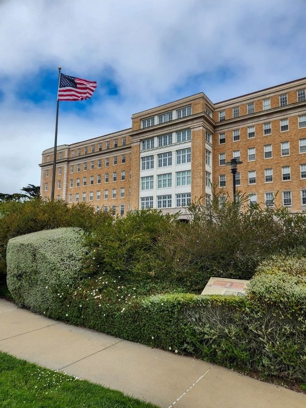
The marker is somewhat concealed by shrubbery.
Other nearby markers. At least 8 other markers are within one mile of this marker, measured as the crow flies: Public Health Service District (within shouting distance of this marker); The Anza Expedition Camped Here (approx. 0.2 miles away); San Francisco's First People (approx. 0.2 miles away); Juan Bautista de Anza (approx. ¼ mile away); St. John’s Presbyterian Church (approx. 0.8 miles away); China Beach (approx. 0.9 miles away); Post Chapel (approx. one mile away); Explosive Military Advances (approx. one mile away). Touch for a list and map of all markers in San Francisco.
Photographed by Douglass Halvorsen, July 26, 2025
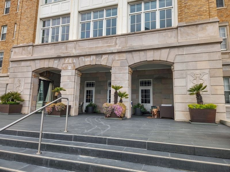
3. Former Public Health Service Hospital
Photographed by Douglass Halvorsen, July 26, 2025
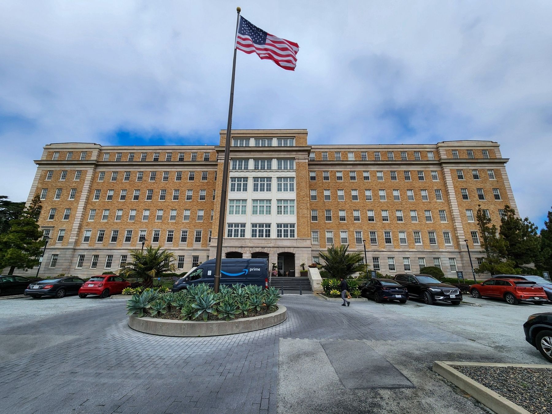
4. Former Public Health Service Hospital
Credits. This page was last revised on September 14, 2025. It was originally submitted on September 14, 2025, by Douglass Halvorsen of Klamath Falls, Oregon. This page has been viewed 287 times since then and 24 times this year. Photos: 1, 2, 3, 4. submitted on September 14, 2025, by Douglass Halvorsen of Klamath Falls, Oregon. • Andrew Ruppenstein was the editor who published this page.
