Fort Gibson in Muskogee County, Oklahoma — The American South (West South Central)
Fort Gibson National Cemetery
Photographed by James Hulse, September 11, 2025
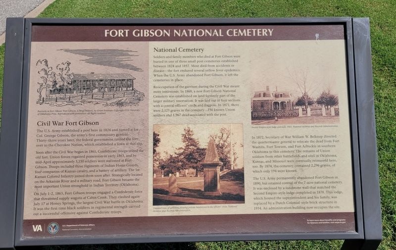
1. Fort Gibson National Cemetery Marker
The U.S. Army established a post here in 1824 and named it for Col. George Gibson, the army's first commissary general. Thirty-three years later, the federal government turned the fort over to the Cherokee Nation, which established a town at this site.
Soon after the Civil War began in 1861, Confederate troops seized the old fort. Union forces regained possession in early 1863, and by mid-April approximately 3,150 soldiers were stationed at Fort Gibson. Troops included three regiments of Indian Home Guards, four companies of Kansas cavalry, and a battery of artillery. The 1st Kansas Colored Infantry joined them soon after. Strategically located on the Arkansas River and a military road, Fort Gibson became the most important Union stronghold in Indian Territory (Oklahoma).
On July 1-2, 1863, Fort Gibson troops engaged a Confederate force that threatened supply wagons at Cabin Creek. They clashed again July 17 at Honey Springs, the largest Civil War battle in Oklahoma. It was the first time black soldiers in regimental strength carried out a successful offensive against Confederate troops.
National Cemetery
Soldiers
this page online
Reoccupation of the garrison during the Civil War meant more interments. In 1868, a new Fort Gibson National Cemetery was established on land formerly part of the larger military reservation. It was laid out in four sections with a central officers' circle and flagpole. In 1871, there were 2,123 graves in the cemetery 156 known Union soldiers and 1,967 dead associated with the post.
In 1872, Secretary of War William W. Belknap directed the quartermaster general to relocate the dead from Fort Washita, Fort Towson, and Fort Arbuckle in southern Oklahoma to this cemetery. The remains of Union soldiers from other battlefields and sites in Oklahoma, Kansas, and Missouri were eventually reinterred here, too. By 1874, the cemetery contained 2,296 graves, of which only 194 were known.
The U.S. Army permanently abandoned Fort Gibson in 1890, but retained
Photographed by James Hulse, September 11, 2025
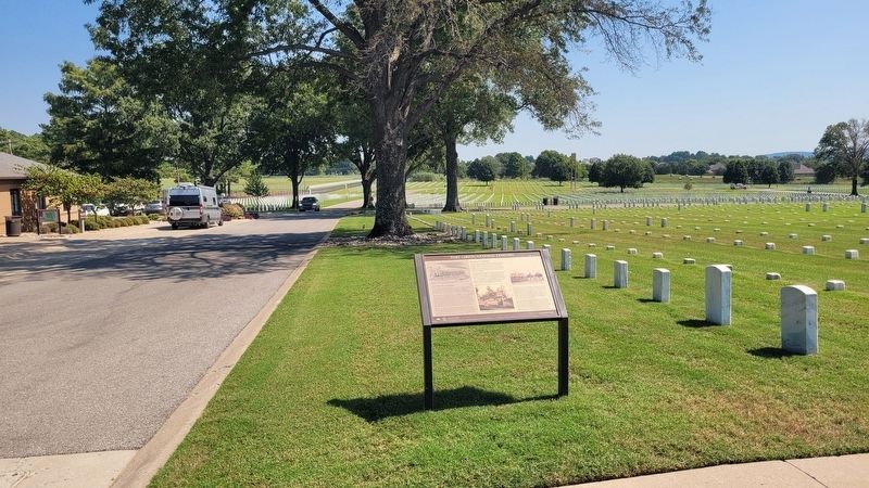
2. A view of the marker in the cemetery
Captions
(Photo #1) Barracks at Fort Gibson. Fort Gibson: A Brief History, by Grant Foreman. Copyright 1936 University of Oklahoma Press. Reproduced with permission. All Rights reserved.
(Photo #2) Undated view of cemetery showing private headstones in the officers' circle. National Archives and Records Administration.
(Photo #3) Second Empire-style lodge and wall, 1903. National Archives and Records Administration.
Erected by U.S. Department of Veterans Affairs National Cemetery Administration.
Topics. This historical marker is listed in these topic lists: Cemeteries & Burial Sites • Forts and Castles. A significant historical year for this entry is 1824.
Location. 35° 48.312′ N, 95° 13.81′ W. Marker is in Fort Gibson, Oklahoma, in Muskogee County. It is on Cemetery Road 0.1 miles east of Sterling Hill Dr. The
Photographed by James Hulse, September 11, 2025
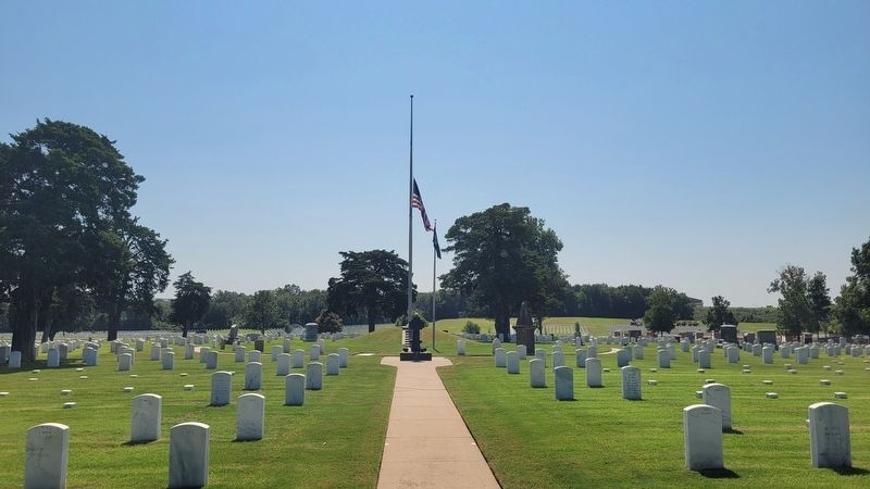
3. The Fort Gibson National Cemetery

Regionally, this marker is in Oklahoma’s Muscogee Nation, specifically in the Cherokee Nation, and in Northeast Oklahoma—Green Country. It is also in the American South, specifically on the prairies, and on the Southern Plains. Globally, it is in North America, the Western Hemisphere, the Western World, and the Anglosphere. Historically, it finds itself in what was once the territory of the Mississippian Culture and also the Louisiana Purchase.
Other nearby markers. At least 8 other markers are within 2 miles of this marker, measured as the crow flies: A National Cemetery System (a few steps from this marker); Ultimate Sacrifice (within shouting distance of this marker); Revolutionary War Patriots (approx. 1.3 miles away); History of the Church Bell (approx. 1.3 miles away); Seventh United States Infantry (approx. 1.3 miles away); Fort Gibson (approx. 1.3 miles away); Montfort Stokes (approx. 1.4 miles away); Occupied by United States Army (approx. 1.4 miles away). Touch for a list and map of all markers in Fort Gibson.
Credits. This page was last revised on September 15, 2025. It was originally submitted on September 14, 2025, by James Hulse of Medina, Texas. This page has been viewed 107 times since then and 39 times this year. Photos: 1, 2, 3. submitted on September 15, 2025, by James Hulse of Medina, Texas.
