Near Guntersville in Marshall County, Alabama — The American South (East South Central)
Guntersville Dam
Length 3979 feet, Height 94 feet
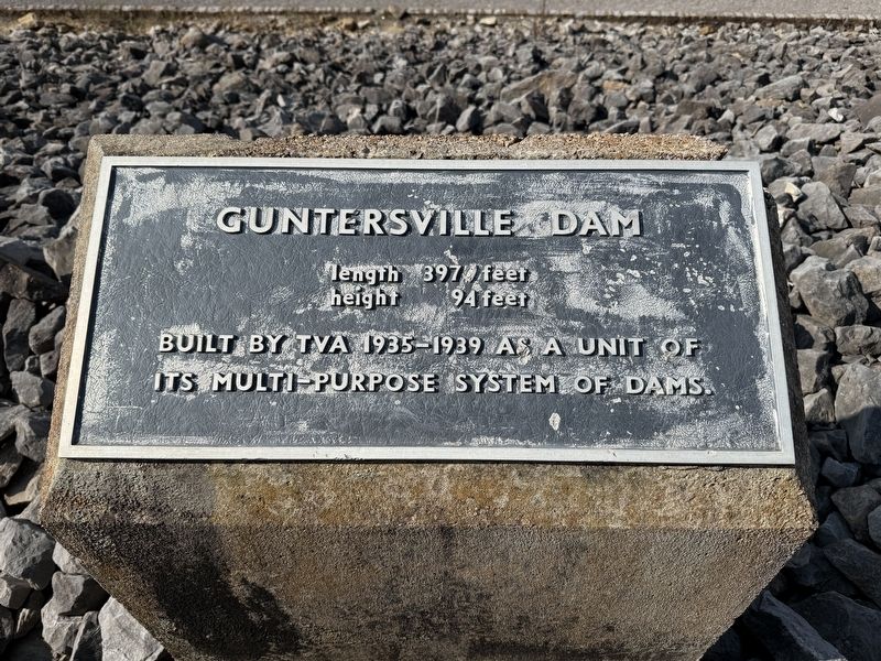
Photographed by Deborah Spencer, September 14, 2025
1. Guntersville Dam Marker
Erected by Tennessee Valley Authority.
Topics. This historical marker is listed in these topic lists: Industry & Commerce • Waterways & Vessels.
Location. 34° 25.607′ N, 86° 23.368′ W. Marker is near Guntersville, Alabama, in Marshall County. It is on Guntersville Dam Road south of Wild Goat Cove Rd, on the right when traveling south. Marker is in the parking lot at the end of Guntersville Dam Road, on the north side of the Dam. Guntersville Dam road is accessed of U.S. Highway 431 about 3 mile south of New Hope. Touch for map. Marker is in this post office area: Grant AL 35747, United States of America. Touch for directions.

Regionally, this marker is in North Alabama. It is also in the American South, specifically in the Deep South, in Appalachia, and specifically in Southern Appalachia. Globally, it is in North America, a Gulf of Mexico state, the Western Hemisphere, the Western World, and the Anglosphere. Historically, it finds itself in what was once the original Cherokee Nation,
this page online
Other nearby markers. At least 8 other markers are within 5 miles of this marker, measured as the crow flies: Rolling Goods Down the River (approx. 0.4 miles away); How the Dam Works (approx. 0.4 miles away); TVA Goes to War (approx. 0.4 miles away); A Valley of Hardships (approx. 0.4 miles away); Promoting Your Prosperity (approx. 0.4 miles away); A Mission of Service (approx. 0.4 miles away); a different marker also named Guntersville Dam (approx. 0.4 miles away); Site of 1954 Crash of Air Force Cargo Plane (approx. 4.8 miles away). Touch for a list and map of all markers in Guntersville.
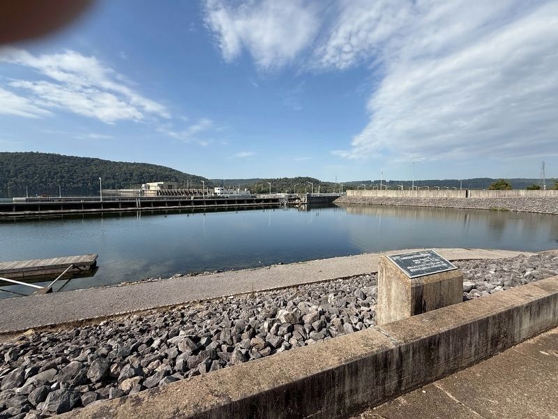
Photographed by Deborah Spencer, September 14, 2025
2. Guntersville Dam Marker with Guntersville Lock in the background
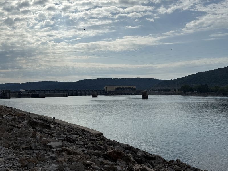
Photographed by Deborah Spencer, September 14, 2025
3. Guntersville Loak and Dam
Credits. This page was last revised on September 18, 2025. It was originally submitted on September 15, 2025, by Deborah Spencer of Huntsville, Alabama. This page has been viewed 93 times since then and 25 times this year. Photos: 1, 2, 3. submitted on September 15, 2025, by Deborah Spencer of Huntsville, Alabama. • James Hulse was the editor who published this page.
