
Welland in Niagara Region, Ontario — Central Canada (North America)
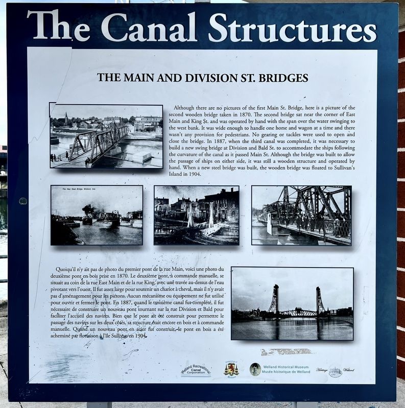
The Main and Division St. Bridges
The Canal Structures
Photographed by Tim Boyd, November 18, 2024
1. The Main and Division St. Bridges Marker

Although there are no pictures of the first Main St. Bridge, here is a picture of the second wooden bridge taken in 1870. The second bridge sat near the corner of East Main and King St. and was operated by hand with the span over the water swinging to the west bank. It was wide enough to handle one horse and wagon at a time and there wasn't any provision for pedestrians. No gearing or tackles were used to open and close the bridge. In 1887, when the third canal was completed, it was necessary to build a new swing bridge at Division and Bald St. to accommodate the ships following the curvature of the canal as it passed Main St. Although the bridge was built to allow the passage of ships on either side, it was still a wooden structure and operated by hand. When a new steel bridge was built, the wooden bridge was floated to Sullivan's Island in 1904.
this page online
Topics and series. This historical marker is listed in these topic lists: Bridges & Viaducts • Waterways & Vessels. In addition, it is included in the The Welland Canals series list. A significant historical year for this entry is 1870.
Location. 42° 59.478′ N, 79° 15.053′ W. Marker is in Welland, Ontario, in Niagara Region. It is at the intersection of King Street and East Main Street, on the right when traveling south on King Street. Touch for map. Marker is at or near this postal address: 30 King Street,
Photographed by Tim Boyd, November 18, 2024
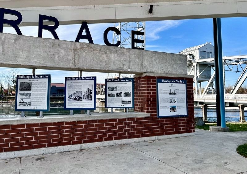
2. The Main and Division St. Bridges Marker (centre of photo)

Regionally, this marker is on Ontario’s Golden Horseshoe and in Niagara Canada. It is also in Central Canada. Globally, it is in North America, on the Great Lakes, in the Western Hemisphere, in the Western World, and in the Anglosphere. Historically, it finds itself in what was once a British colony, the Viceroyalty of New France, the Haudenosaunee (Iroquois) Confederacy, and Rupert’s Land.
Other nearby markers. At least 8 other markers are within walking distance of this marker: The Bridges of the Fourth Canal (here, next to this marker); The Customs and Post Office Buildings (here, next to this marker); The Hooker Brick Company (here, next to this marker); A National Asset for Flatwater Sport (a few steps from this marker); Beatty & Sons Shipyard (a few steps from this marker); The County Buildings (a few steps from this marker); The Aqueducts (a few steps from this marker); The Riverside Mill (a few steps from this marker). Touch for a list and map of all markers in Welland.

Photographed by Tim Boyd, November 18, 2024
3. The Canal Terrace bank of markers
Photographed by Tim Boyd, November 18, 2024
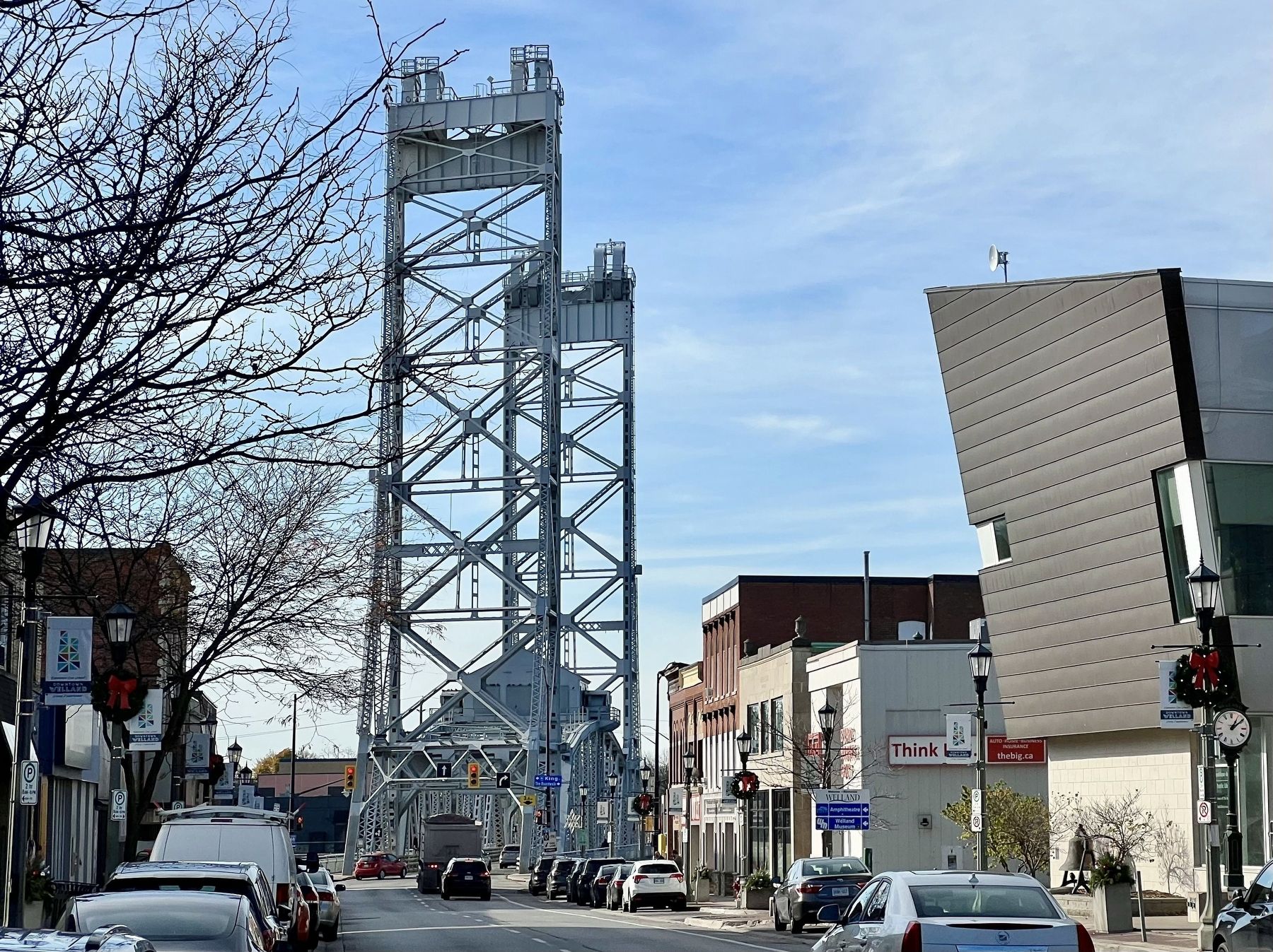
4. The Main Street Bridge, 2024
Credits. This page was last revised on September 23, 2025. It was originally submitted on November 20, 2024, by Tim Boyd of Hamilton, Ontario. This page has been viewed 141 times since then and 13 times this year. Last updated on September 16, 2025, by Kevin Westell of St. Catharines, Ontario. Photos: 1, 2, 3, 4. submitted on November 20, 2024, by Tim Boyd of Hamilton, Ontario. • Devry Becker Jones was the editor who published this page.
