Fenwick in Pelham in Niagara Region, Ontario — Central Canada (North America)
The Fenwick Fair
1856-1939
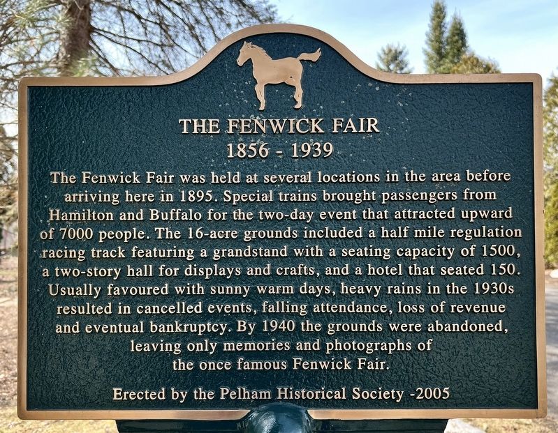
Photographed by Tim Boyd, March 14, 2025
1. The Fenwick Fair Marker
Erected 2005 by Pelham Historical Society.
Topics. This historical marker is listed in these topic lists: Entertainment • Parks & Recreational Areas. A significant historical year for this entry is 1895.
Location. 43° 0.999′ N, 79° 21.758′ W. Marker is in Pelham, Ontario, in Niagara Region. It is in Fenwick. It is on Church Street 0.2 kilometers north of Foss Road, on the left when traveling north. Touch for map. Marker is at or near this postal address: 912 Church
this page online

Regionally, this marker is on Ontario’s Golden Horseshoe and in Niagara Canada. It is also in Central Canada. Globally, it is in North America, on the Great Lakes, in the Western Hemisphere, in the Western World, and in the Anglosphere. Historically, it finds itself in what was once a British colony, the Viceroyalty of New France, the Haudenosaunee (Iroquois) Confederacy, and Rupert’s Land.
Other nearby markers. At least 8 other markers are within 8 kilometers of this marker, measured as the crow flies: Pelham Cenotaph (approx. 3.3 kilometers away); W.W. 1 German Trench Mortar (approx. 3.3 kilometers away); Pelham Quaker Settlement (approx. 4.4 kilometers away); The Comfort Maple (approx. 4.9 kilometers away); The Reverend Daniel W. Eastman (approx. 5.2 kilometers away); O’Reilly’s Bridge (approx. 6 kilometers away); Fonthill Nurseries (1837-1968) (approx. 6.6 kilometers away); The Brethren in Christ Church / L’Église de la Fraternité Chrétienne (approx. 6.9 kilometers away). Touch for a list and map of all markers in Pelham.
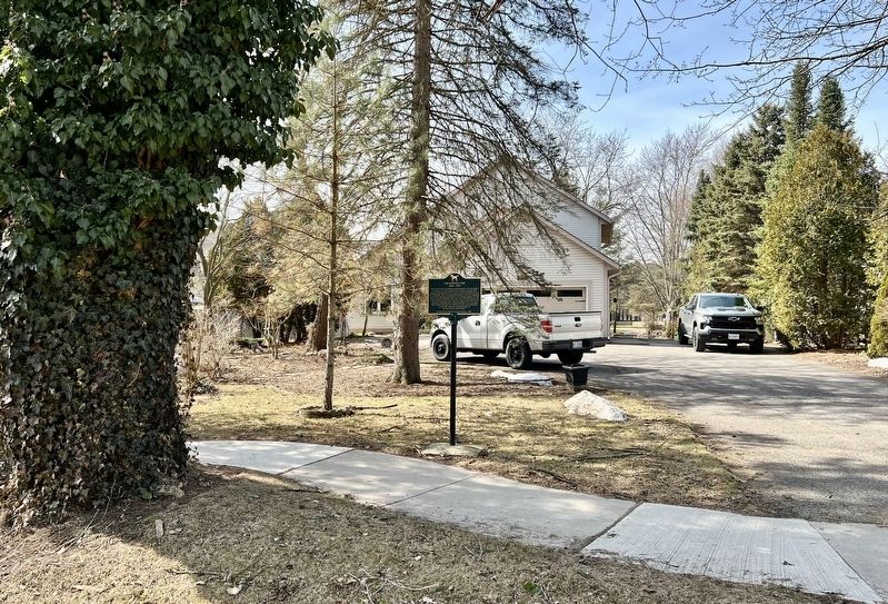
Photographed by Tim Boyd, March 14, 2025
2. The Fenwick Fair Marker
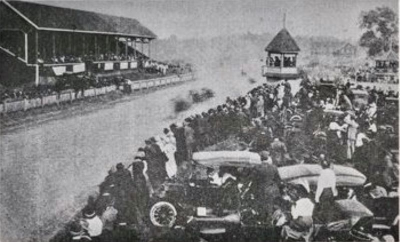
3. The Fenwick Fair, ca 1920
Source: the Pelham Historical Society (public domain)

1925
4. The Fenwick Fair Grounds
Credits. This page was last revised on September 18, 2025. It was originally submitted on March 14, 2025, by Tim Boyd of Hamilton, Ontario. This page has been viewed 211 times since then and 64 times this year. Last updated on September 16, 2025, by Kevin Westell of St. Catharines, Ontario. Photos: 1, 2, 3. submitted on March 14, 2025, by Tim Boyd of Hamilton, Ontario. 4. submitted on March 15, 2025, by Tim Boyd of Hamilton, Ontario. • Devry Becker Jones was the editor who published this page.
