Port Colborne in Niagara Region, Ontario — Central Canada (North America)
Canal Commerce and Industry
⎯⎯⎯
Le Canal: Commerce et Industrie

Photographed by Tim Boyd, March 14, 2025
1. Canal Commerce and Industry/ Le Canal: Commerce et Industrie Marker

The Grain Industry
Dominating the eastern skyline for over half a century was the Grand Trunk Elevator which was built near the harbour's mouth in 1859 by the Welland Railway Co. Grain would be unloaded from schooners into the elevator, thereby "lightering" the boat which would then be able to continue down the canal. That elevator was torn down in 1911 and soon replaced by the large grain elevators still standing at the west side of the entrance to the canal.
L'élévateur à grain de Grand Trunk, dominant l'est pour plus de la moitié d'un siéde, fût construit à l'entrée du port en 1859 par la Compagnie de Chemin de fer Welland. Le grain devait étre déchargé du bateau et transféré à l'élévateur à grain ainsi le bateau pourait continuer sa route le long du canal. Cet élévateur fut fermé en 1911 et rapidement remplacé par un autre qui existe encore aujourd'hui du coté ouest de l'entrée du canal.
Within a few years of the completion of the first canal, ship building and ship carpentry became important components of the local marine trade. In the earlier years, schooners and other types of small sailing ships were built, later followed by wooden tugboats and steam yachts. In the late 1800's, sections of steel hulls were floated here through the canal from areas as far away as Britain and then fitted out as C.P.R. steamships for the upper lakes using local contractors such as Neff & Son of Humberstone.
En quelques années, durant la finition du premier canal, la construction de bateaux devenait un élément important dans le commerce de la marine locale. On commença par construire des bateaux à voile nommés "Schooners" ainsi que de petits bateaux de navigation. Ensuite, s'enchaina la construction de bateaux remorquers et de gros
this page online
Erected 2000 by City of Port Colborne.
Topics. This historical marker is listed in these topic lists: Industry & Commerce • Waterways & Vessels. A significant historical year for this entry is 1859.
Location. 42° 52.919′ N, 79° 14.975′ W. Marker is in Port Colborne, Ontario, in Niagara Region. It is at the intersection of West Street and Adelaide Street, on the right when traveling north on West Street. Touch for map. Marker is at or near this postal address: 94 West Street, Port Colborne ON L3K 4C9, Canada. Touch for directions.

Regionally, this marker is on the Golden Horseshoe and in Niagara Canada. It is also in Central Canada. Globally, it is in North America, on the Great Lakes, in the Western Hemisphere, in the Western World, and in the Anglosphere. Historically, it finds itself in what was once a British colony, the Viceroyalty of New France, the Haudenosaunee (Iroquois) Confederacy,

Photographed by Tim Boyd, March 14, 2025
2. Canal Commerce and Industry/ Le Canal: Commerce et Industrie Marker
Other nearby markers. At least 8 other markers are within walking distance of this marker: West Street (about 90 meters away, measured in a direct line); Welland Canals / Les Canaux Welland (about 120 meters away); Settlement Begins - Port Colborne's Early Inhabitants (about 120 meters away); Wildwood c. 1876 (approx. 0.3 kilometers away); Imperial Bank of Canada Building (approx. 0.4 kilometers away); Imperial Bank c.1911 (approx. 0.4 kilometers away); Crossing The Canal / La Traversé Du Canal (approx. 0.4 kilometers away); The Welland Canal (approx. half a kilometer away). Touch for a list and map of all markers in Port Colborne.
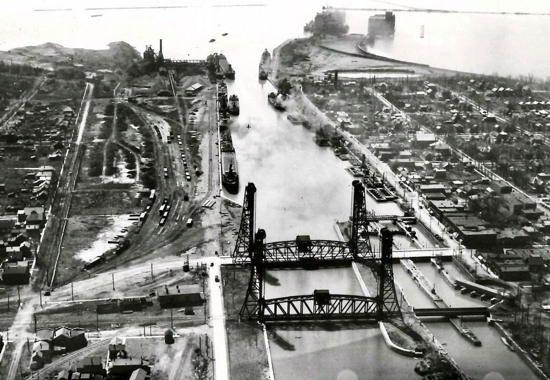
1930
3. The Welland canal at Port Colborne, 1930
Brock University (public domain)
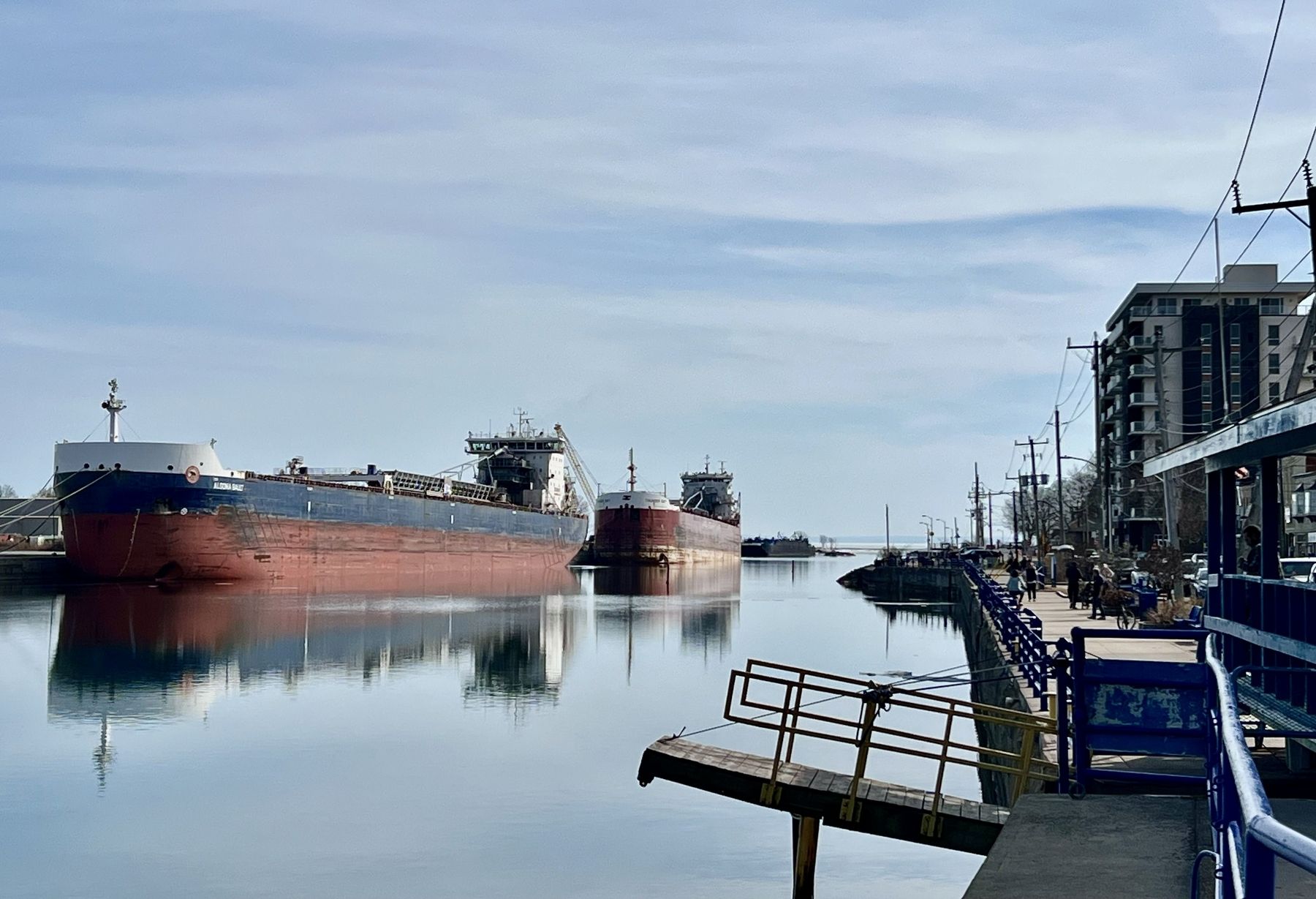
Photographed by Tim Boyd, March 14, 2025
4. The Welland Canal at Port Colborne, 2025
Credits. This page was last revised on September 18, 2025. It was originally submitted on March 16, 2025, by Tim Boyd of Hamilton, Ontario. This page has been viewed 97 times since then and 16 times this year. Last updated on September 16, 2025, by Kevin Westell of St. Catharines, Ontario. Photos: 1, 2, 3, 4. submitted on March 16, 2025, by Tim Boyd of Hamilton, Ontario. • Devry Becker Jones was the editor who published this page.
