Wainfleet in Niagara Region, Ontario — Central Canada (North America)
The Feeder Canal

Photographed by Tim Boyd, March 14, 2025
1. The Feeder Canal Marker
Erected 2017 by Wainfeet Historical Society.
Topics and series. This historical marker is listed in these topic lists: Settlements & Settlers • Waterways & Vessels. In addition, it is included in the The Welland Canals series list. A significant historical year for this entry is 1829.
Location. 42° 55.387′ N, 79° 22.519′ W. Marker is in Wainfleet, Ontario, in Niagara Region. It is at the intersection of Highway 3 and Feeder Road East, on the right when traveling
this page online

Regionally, this marker is on the Golden Horseshoe and in Niagara Canada. It is also in Central Canada. Globally, it is in North America, on the Great Lakes, in the Western Hemisphere, in the Western World, and in the Anglosphere. Historically, it finds itself in what was once a British colony, the Viceroyalty of New France, the Haudenosaunee (Iroquois) Confederacy, and Rupert’s Land.
Other nearby markers. At least 8 other markers are within walking distance of this marker: Wainfleet Township Hall, Circa 1880 (within shouting distance of this marker); Wainfleet Cenotaph (within shouting distance of this marker); Neff Morgan Cabin circa 1841 (approx. 0.2 kilometers away); Neff-Morgan Cabin (approx. 0.2 kilometers away); Dean Sawmill circa 1883 (approx. 0.3 kilometers away); Jones & Palcso Wagonmaker Blacksmith Shop circa 1865 (approx. 0.3 kilometers away); Vivian Flour Mill circa 1841 (approx. 0.3 kilometers away); S.S. No. 11 circa 1866 (approx. 0.3 kilometers away).

Photographed by Tim Boyd, March 14, 3025
2. The Feeder Canal Marker
Also see . . . Feeder Canal (the Old Welland Canals Field Guide).
The history of the Feeder Canal started in Nov 1828 when the First Welland Canal was being dug through a high ridge of land at a place called the “Deep Cut”. The original plan was to dig through the ridge deep enough so that water could flow into it from the Welland River. When that plan failed, a new plan was devised to dig a shallower canal and fill the canal with water coming from a higher elevation.(Submitted on March 18, 2025, by Tim Boyd of Hamilton, Ontario.)
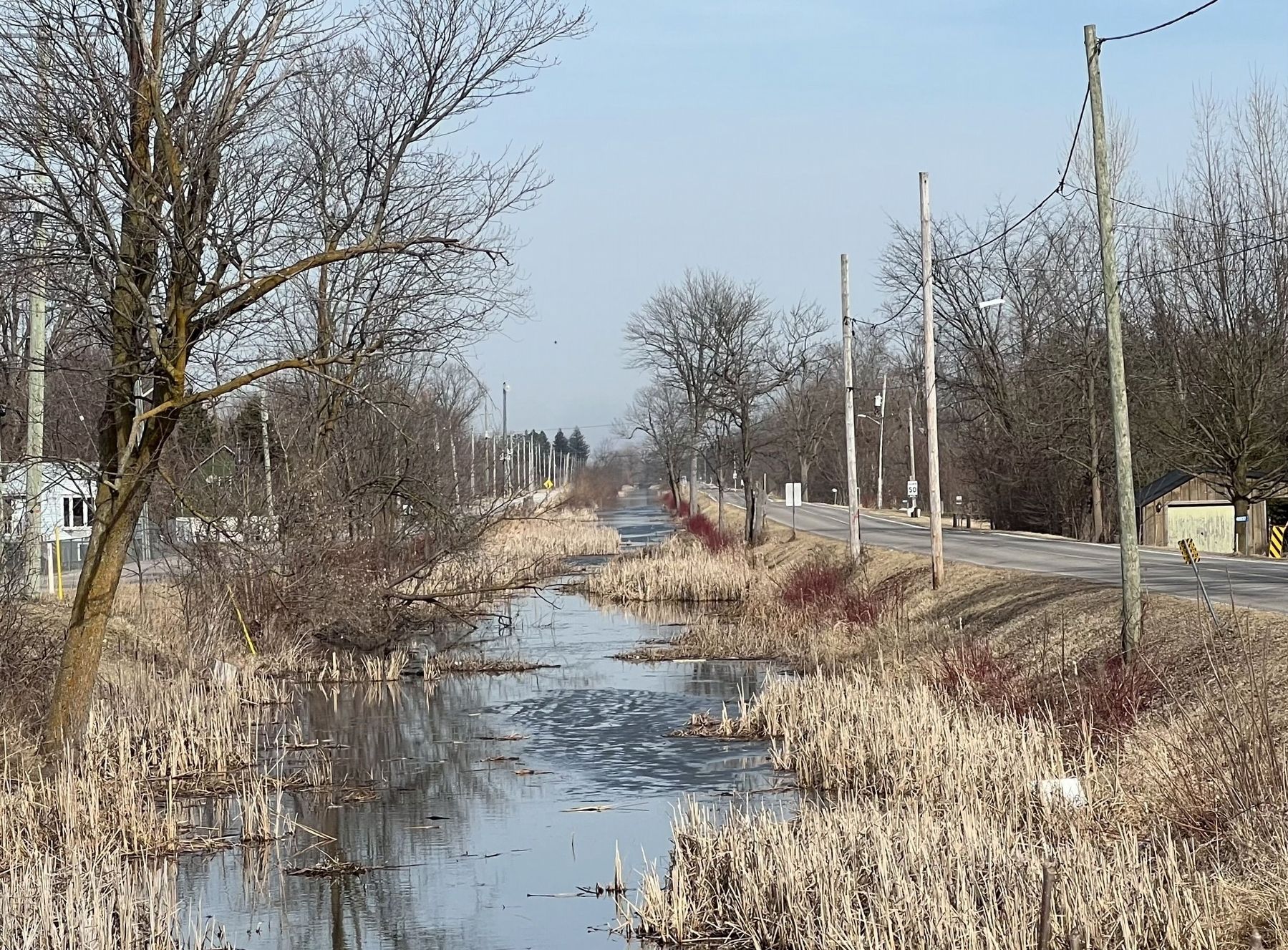
Photographed by Tim Boyd, March 14, 2025
3. The Feeder Canal at Wainfleet, 2025
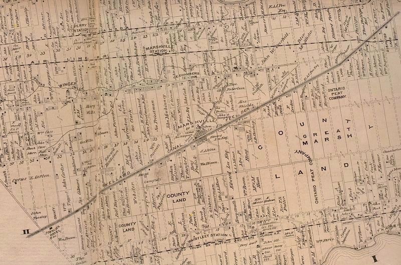
1870s
4. Wainfleet Township, 1870s, showing the Feeder Canal through Marshville
Credits. This page was last revised on September 18, 2025. It was originally submitted on March 18, 2025, by Tim Boyd of Hamilton, Ontario. This page has been viewed 263 times since then and 112 times this year. Last updated on September 16, 2025, by Kevin Westell of St. Catharines, Ontario. Photos: 1, 2, 3, 4. submitted on March 18, 2025, by Tim Boyd of Hamilton, Ontario. • Devry Becker Jones was the editor who published this page.
