Bartlesville in Washington County, Oklahoma — The American South (West South Central)
Information
Photographed by James Hulse, September 13, 2025
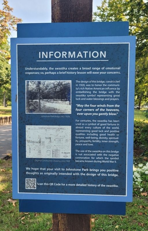
1. Information Marker
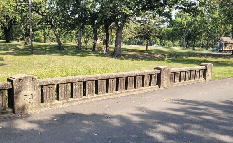
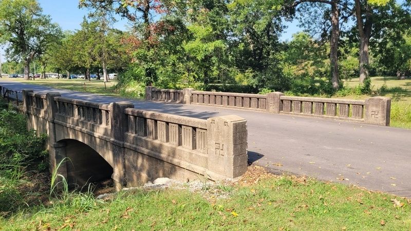
The design of this bridge, constructed in 1920, was to honor the community's rich Native American influence by embellishing the bridge with the swastika symbol representing good luck and water blessings and prayers.
"May the four winds from the four corners of the heavens, ever upon you gently blow."
For centuries, the swastika has been used as a symbol of good fortune in almost every culture of the world, representing good luck and positive qualities including good health or fortune, well-being, divinity, spirituality, prosperity, fertility, inner strength, peace and love.
The use of the swastika on this bridge is not associated with the negative connotation for which the symbol became known during World War II.
We hope that your visit to Johnstone Park brings you positive thoughts as originally intended with the design of this bridge.
Scan this QR Code for a more detailed history of the swastika.
Erected by City of Bartlesville.
Topics. This historical marker is listed in these topic lists: Bridges & Viaducts • Indigenous Peoples and Communities. A significant historical year for this entry is 1920.
Location. 36° 45.37′ N, 95° 58.352′ W. Marker is in Bartlesville, Oklahoma, in Washington County. It is on North Cherokee Avenue 0.2 miles north of 1st Drive, on the right when traveling north. The marker is located at the Johnstone Park. Touch for map. Marker is at or near this postal address: 100 N Cherokee Ave, Bartlesville OK 74003, United States of America. Touch for directions.

Regionally, this marker is in the Cherokee Nation and in Northeast Oklahoma—Green Country. It is also in the American South, specifically in the Ozarks, on the prairies,
this page online
Other nearby markers. At least 8 other markers are within walking distance of this marker: Nellie Johnstone No. 1 (within shouting distance of this marker); Fire Fighting Cannon (within shouting distance of this marker); Coffeyville Refinery (within shouting distance of this marker); Hulah Santa Fe Depot (about 400 feet away, measured in a direct line); Low-Water Dam Fueled Local Industry and Recreation (approx. 0.2 miles away); Depression-Era New Deal Programs and Bridge Construction (approx. 0.2 miles away); Bridge Design Included Unique Engineering Features (approx. 0.2 miles away); Building the City of Legends (approx. half a mile away). Touch for a list and map of all markers in Bartlesville.
Also see . . . Did You Know: The Misunderstood Swastika. City of Bartlesville
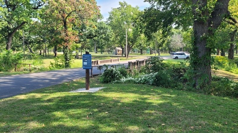
As the result of a park bond election on August 31, 1915, the City of Bartlesville was able to(Submitted on September 17, 2025, by James Hulse of Medina, Texas.)purchase parkland from the families of early Bartlesville pioneers on January 13, 1916. Lucy Armstrong whose father was Arthur Armstrong, sold 16 acres; Nellie Johnstone Cannon whose father was William Johnstone, sold 40 acres; and Joseph Bartles whose father was Jacob Bartles, recognized as the founder of Bartlesville and Dewey, gifted additional land towards the park effort.Photographed by James Hulse, September 13, 20252. Information Marker and bridge
Photographed by James Hulse, September 13, 2025
3. Swastika symbols on the bridge
Photographed by James Hulse, September 13, 2025
4. The view of the bridge with the swastika symbol
Credits. This page was last revised on September 17, 2025. It was originally submitted on September 17, 2025, by James Hulse of Medina, Texas. This page has been viewed 58 times since then and 22 times this year. Photos: 1, 2, 3, 4. submitted on September 17, 2025, by James Hulse of Medina, Texas.
