Bartlesville in Osage County, Oklahoma — The American South (West South Central)
Phillips Bell
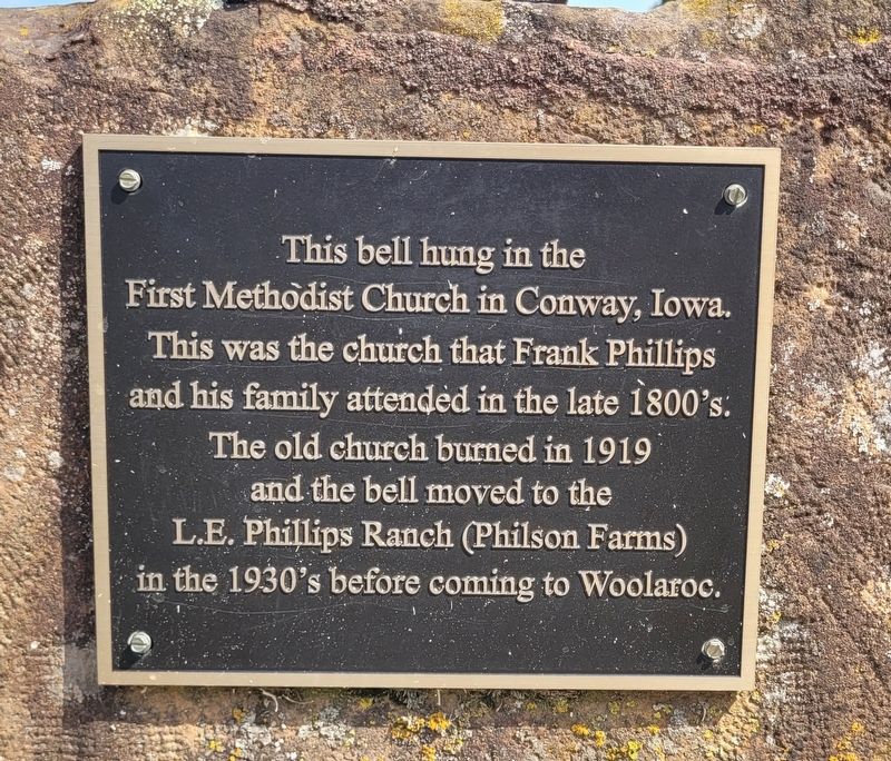
Photographed by James Hulse, September 13, 2025
1. Phillips Bell Marker
Topics and series. This historical marker is listed in this topic list: Man-Made Features. In addition, it is included in the Historic Bells series list. A significant historical year for this entry is 1919.
Location. 36° 39.79′ N, 96° 6.607′ W. Marker is in Bartlesville, Oklahoma, in Osage County. It is on Woolaroc Ranch Road 1½ miles north of State Highway 123. The marker is located on the grounds of the Woolaroc Museum and Preserve. Touch for map. Marker is at or near this postal address: 1925 Woolaroc Ranch Rd, Bartlesville OK 74003, United States of America. Touch for directions.

Regionally, this marker is in the Osage Nation, in Northeast Oklahoma—Green Country, and in Greater Tulsa. It is also in the American South, specifically on the prairies, and on the Southern Plains. Globally, it is in North America, the Western Hemisphere,
this page online
Other nearby markers. At least 8 other markers are within 10 miles of this marker, measured as the crow flies: Patriarch Petrochemical Plant of the Southwest (approx. 7.6 miles away); Veterans Memorial (approx. 7.6 miles away); James Bigheart (approx. 7.8 miles away); The Price Tower (approx. 9.4 miles away); Building the City of Legends (approx. 9½ miles away); Bridge Design Included Unique Engineering Features (approx. 9.9 miles away); Low-Water Dam Fueled Local Industry and Recreation (approx. 9.9 miles away); Depression-Era New Deal Programs and Bridge Construction (approx. 9.9 miles away). Touch for a list and map of all markers in Bartlesville.
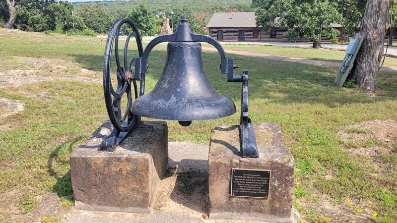
Photographed by James Hulse, September 13, 2025
2. Phillips Bell and Marker
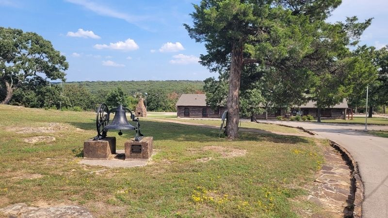
Photographed by James Hulse, September 13, 2025
3. The vie of the Bell and Marker from the grounds of the Woolaroc ranch
Credits. This page was last revised on September 17, 2025. It was originally submitted on September 17, 2025, by James Hulse of Medina, Texas. This page has been viewed 67 times since then and 22 times this year. Photos: 1, 2, 3. submitted on September 17, 2025, by James Hulse of Medina, Texas.
