Near Bison in Garfield County, Oklahoma — The American South (West South Central)
Cherokee Strip
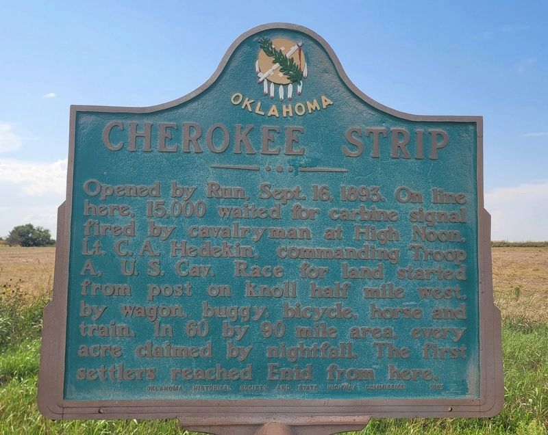
Photographed by James Hulse, September 15, 2025
1. Cherokee Strip Marker
Erected 1951 by Oklahoma Historical Society and State Highway Commission.
Topics. This historical marker is listed in these topic lists: Indigenous Peoples and Communities • Settlements & Settlers. A significant historical date for this entry is September 16, 1893.
Location. 36° 9.861′ N, 97° 53.407′ W. Marker is near Bison, Oklahoma, in Garfield County. It is on U.S. 81 0.4 miles north of County Road E 590, on the left when traveling north. The marker is located along the highway. Touch for map. Marker is at or near this postal address: 140 US-81, Hennessey OK 73742, United States of America. Touch for directions.

Regionally, this marker is in Northwest Oklahoma — Red Carpet Country and specifically in Central Oklahoma—Frontier Country. It is also in the American South, specifically
this page online
Other nearby markers. At least 8 other markers are within 4 miles of this marker, measured as the crow flies: Run of '89 North Boundary (here, next to this marker); Buffalo Springs (approx. 3½ miles away); Massacre of Pat Hennessey (approx. 3.7 miles away); Lest We Forget (approx. 3.7 miles away); Roy V. Cashion (approx. 3.7 miles away); Tribute to Patriotism and Valor (approx. 3.7 miles away); Pat Hennessey (approx. 3.7 miles away); First Rural Mail Route (approx. 3.7 miles away). Touch for a list and map of all markers in Bison.
Also see . . . Cherokee Outlet Opening - The Encyclopedia of Oklahoma History and Culture. Oklahoma Historical Society
The September 16, 1893, Cherokee Outlet Opening was Oklahoma's fourth and largest land run. Economic pressures plus poor planning and inadequate enforcement by federal agencies(Submitted on September 18, 2025, by James Hulse of Medina, Texas.)made it even more chaotic than earlier runs, resulting in massive fraud, widespread suffering, and a number of deaths. The Outlet was one of three areas the Cherokees had acquired upon removal to lands in present eastern Oklahoma under treaties signed in the 1820s and 1830s. Besides the Outlet, which contained about seven million acres directly west of their lands, the tribe also claimed the Neutral Lands in southeastern Kansas plus the area properly known as the Cherokee Strip along the southern border of Kansas. The Cherokees lost the Neutral Lands and the original Cherokee Strip with the 1866 Reconstruction Treaties. At the same time, the United States declared the eastern third of the Outlet surplus and began moving a number of smaller tribes there. Railroads, cattlemen, and home seekers then began efforts to acquire the remainder for their purposes.Photographed by James Hulse, September 15, 20252. Cherokee Strip Marker (right side)
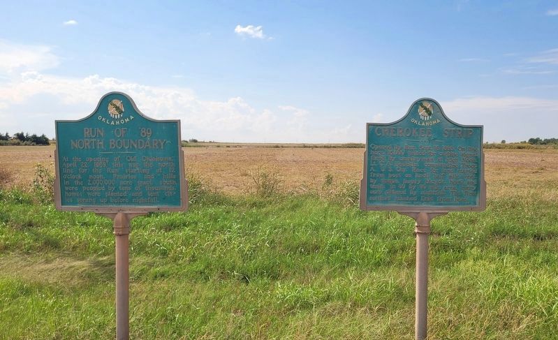
Photographed by James Hulse, September 15, 2025
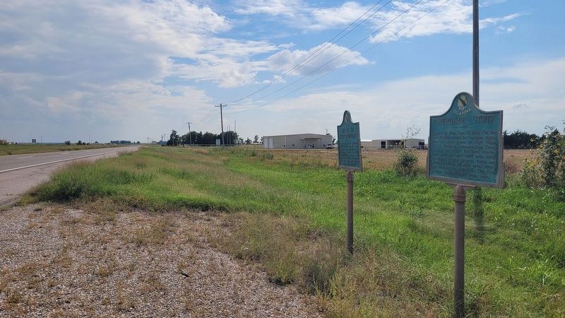
3. The view of the markers along the highway
Credits. This page was last revised on September 18, 2025. It was originally submitted on September 18, 2025, by James Hulse of Medina, Texas. This page has been viewed 70 times since then and 21 times this year. Photos: 1, 2, 3. submitted on September 18, 2025, by James Hulse of Medina, Texas.
