Kittery in York County, Maine — The American Northeast (New England)
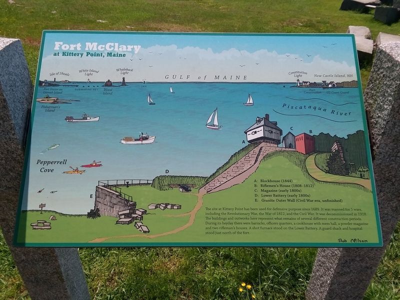
Fort McClary
At Kittery Point, Maine
Photographed by Craig Doda, June 3, 2019
1. Fort McClary Marker
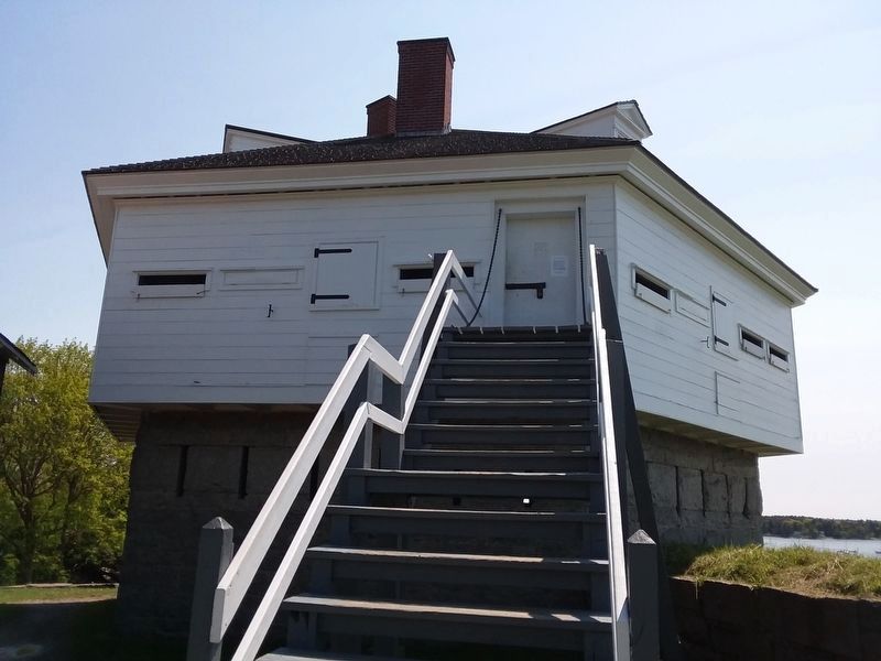
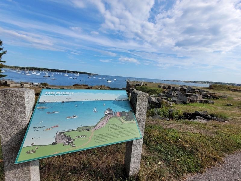
A: Blockhouse (1844)
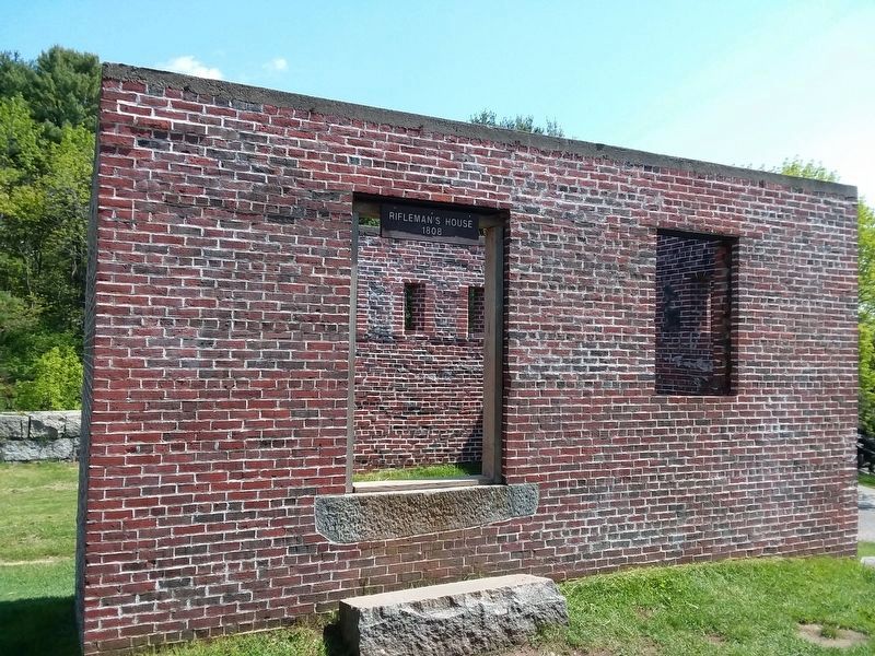
B: Riflemen's House (1808-1812)
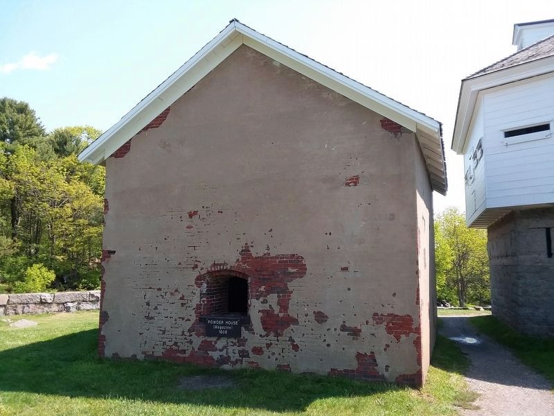
C: Magazine (early 1800s)
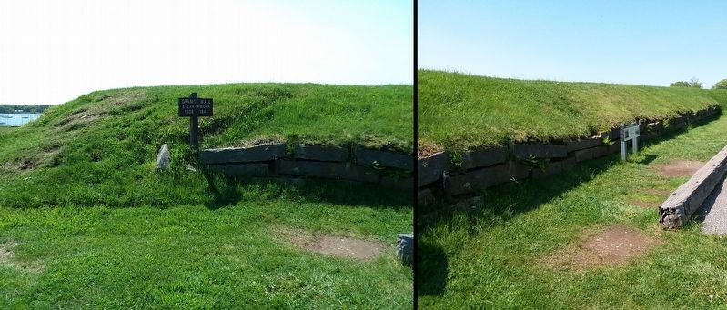
D: Lower Battery (early 1800s)
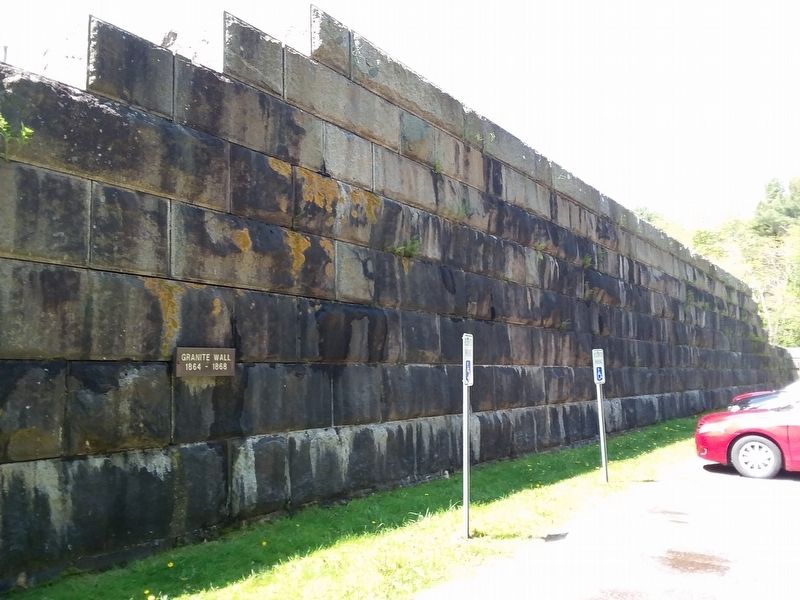
E: Granite Outer Wall (Civil War era, unfinished)
The site at Kittery Point has been used for defensive purpose since 1689. It was manned for 5 wars, including the Revolutionary War, the War of 1812, and the Civil War. It was decommissioned in 1918. The buildings and outworks here represent what remains of several different construction periods. During its heyday there were barracks, officers quarters, a cookhouse with mess hall, a powder magazine and two rifleman's houses. A shot furnace stood on the Lower Battery. A guard shack and hospital stood just north of the fort.
Topics. This historical marker is listed in these topic lists: Forts and Castles • War of 1812 • War, US Civil • War, US Revolutionary.
Location. 43° 4.9′ N, 70° 42.517′ W. Marker is in Kittery, Maine, in York County. It can be reached from Pepperrell Road (Maine Route 103) 0 miles west of Crockett Neck Road, on the left when traveling west. Touch for map. Marker is in
this page online

Regionally, this marker is in the American Northeast, in New England, and on the Eastern Seaboard. Globally, it is in the North Atlantic Region, North America, the Western Hemisphere, the Western World, and the Anglosphere.
Other nearby markers. At least 8 other markers are within walking distance of this marker: Welcome To Fort McClary (within shouting distance of this marker); Resisting Naval Firepower (within shouting distance of this marker); Mines Building (approx. 0.7 miles away in New Hampshire); Portcullis (approx. 0.7 miles away in New Hampshire); Fort William and Mary Commemoration Marker (approx. 0.7 miles away in New Hampshire); Walbach Tower (approx. 0.8 miles away in New Hampshire); a different marker also named Walbach Tower (approx. 0.8 miles away in New Hampshire); Frost Cemetery (approx. 0.8 miles away in New Hampshire). Touch for a list and map of all markers in Kittery.
Also see . . . Fort McClary State Historic Site. Department of Agriculture, Conservation and Forestry (Submitted on December 6, 2020.)
Photographed by Craig Doda, June 3, 2019
2. A. Blockhouse
Photographed by Craig Doda, June 3, 2019
3. B. Riflemen's House
Photographed by Craig Doda, June 3, 2019
4. C. Magazine
Photographed by Craig Doda, June 3, 2019
5. D. Lower Battery
Photographed by Craig Doda, June 3, 2019
6. E. Granite Outer Wall
Photographed by Craig Doda, June 3, 2019
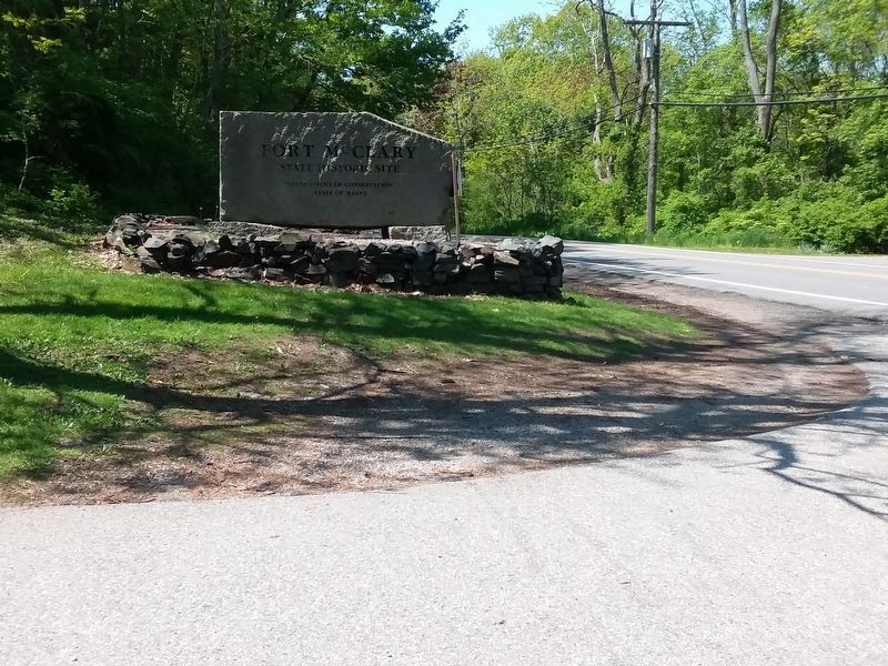
7. Fort McClary Marker
Photographed by Michael Cleary, September 11, 2025
8. Fort McClary Marker in situ, facing southeast
Credits. This page was last revised on September 24, 2025. It was originally submitted on December 5, 2020, by Craig Doda of Napoleon, Ohio. This page has been viewed 651 times since then and 36 times this year. Last updated on September 20, 2025, by Michael Cleary of Salem, Massachusetts. Photos: 1, 2, 3, 4, 5, 6. submitted on December 5, 2020, by Craig Doda of Napoleon, Ohio. 7. submitted on November 29, 2021, by Craig Doda of Napoleon, Ohio. 8. submitted on September 20, 2025, by Michael Cleary of Salem, Massachusetts. • Michael Herrick was the editor who published this page.
