Near Clio in Barbour County, Alabama — The American South (East South Central)
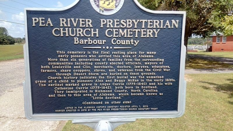
Pea River Presbyterian Church Cemetery
Barbour County
Photographed by James L.Whitman, August 26, 2021
1. Pea River Presbyterian Church Cemetery Marker
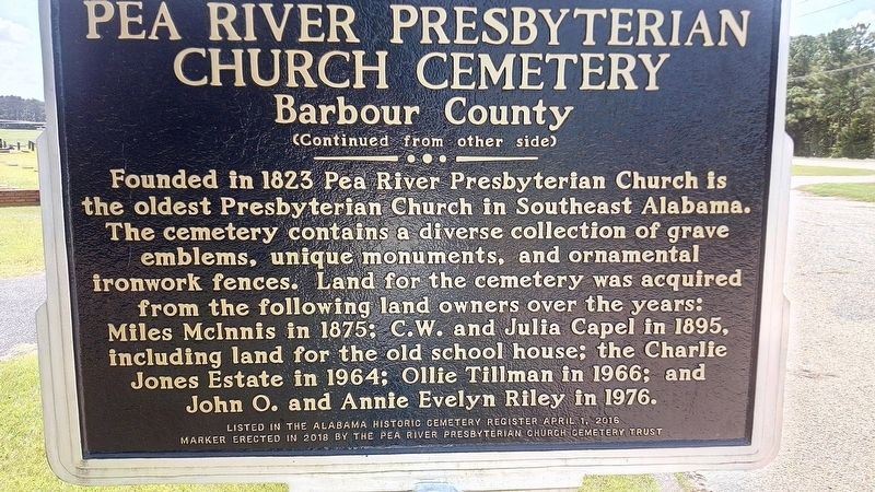
Founded in 1823 Pea River Presbyterian Church is the oldest Presbyterian Church in Southeast Alabama. The cemetery contains a diverse collection of grave emblems, unique monuments, and ornamental ironwork fences. Land for the cemetery was acquired from the following landowners over the years: Miles McInnis in 1875; C.W.and Julia Capel in 1895, including land for
this page online
Erected 2016 by Alabama Historic Cemetery Register & The Pea River Presbyterian Church Cemetery Trust.
Topics. This historical marker is listed in these topic lists: Cemeteries & Burial Sites • Religion & Religious Structures. A significant historical year for this entry is 1823.
Location. 31° 44.309′ N, 85° 36.202′ W. Marker is near Clio, Alabama, in Barbour County. It is on Alabama 51 (Alabama Route 51) 0.1 miles north of Clio Short Road, on the right when traveling north. Touch for map. Marker is in this post office area: Clio AL 36017, United States of America. Touch for directions.

Regionally, this marker is in the American South, specifically in the Deep South, in the Black Belt, and in the Wiregrass. Globally, it is in North America, a Gulf of Mexico state, the Western Hemisphere, the Western World, and the Anglosphere. Historically, it finds itself in what was once the territory of the Mississippian Culture, one of the Confederate States of America, and the Antebellum South.
Other nearby markers. At
Photographed by James L.Whitman, August 26, 2021
2. Pea River Presbyterian Church Cemetery Marker
Photographed by James L.Whitman, September 4, 2021
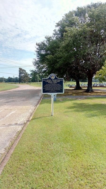
3. Pea River Presbyterian Church Cemetery Marker
Photographed by James L.Whitman, August 26, 2021
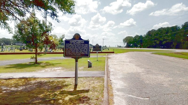
4. Pea River Presbyterian Church Cemetery Marker

Photographed by James L.Whitman, February 17, 2026
5. Pea River Presbyterian Church Cemetery Marker
Credits. This page was last revised on February 25, 2026. It was originally submitted on August 27, 2021, by James L.Whitman of Eufaula, Alabama. This page has been viewed 1,705 times since then and 238 times this year. Last updated on September 20, 2025, by Darren Jefferson Clay of Duluth, Georgia. Photos: 1, 2. submitted on August 27, 2021, by James L.Whitman of Eufaula, Alabama. 3. submitted on September 5, 2021, by James L.Whitman of Eufaula, Alabama. 4. submitted on August 27, 2021, by James L.Whitman of Eufaula, Alabama. 5. submitted on February 25, 2026, by James L.Whitman of Eufaula, Alabama. • James Hulse was the editor who published this page.
