Brehna in Sandersdorf-Brehna in Anhalt-Bitterfeld, Saxony-Anhalt, Germany — Central Europe
Brehna
| — | Pfad de Geschichte / Path of History | — |
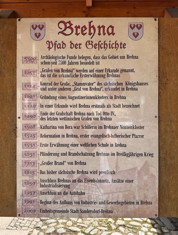
Photographed by Andrew Ruppenstein, September 2, 2025
1. Brehna Marker

1053 „Grafen von Brehna“ werden auf einer Urkunde genannt, das ist die urkundliche Ersterwähnung Brehnas
1124 Konrad der Große „Stammvater“ des sächsischen Königshauses
und unter anderen „Graf von Brehna“, urkundet in Brehna
1201 Gründung eines Augustinerinnenklosters in Brehna
1220 In einer Urkunde wird Brehna erstmals als Stadt bezeichnet
1290 Ende der Grafschaft Brehna nach Tod Otto IV., des letzten wettinischen Grafen von Brehna
1508 Katharina von Bora war Schülerin im Brehnaer Nonnenkloster
1525 Reformation in Brehna, erster evangelisch-lutherischer Pfarrer
1531 Erste Erwähnung einer weltlichen Schule in Brehna
1631 Plünderung und Brandschatzung Brehnas im Dreißigjährigen Krieg
1713 „Großer Brand“ von Brehna
1815 Das bisher sächsische Brehna wird preußisch
1859 Anschluss Brehnas an das Eisenbahnnetz, Ansätze einer Industrialisierung
1937 Anschluss an die Autobahn
1991 Beginn des Aufbaus von Industrie- und Gewerbegebieten in Brehna
2009 Einheitsgemeinde Stadt Sandersdorf-Brehna
(English translation:)
5500 BC.
this page online
1053 "Counts of Brehna" are mentioned in a document, marking the first documented mention of Brehna.
1124 Conrad the Great, "progenitor" of the Saxon royal house, and, among others, "Count of Brehna," is documented in Brehna.
1201 An Augustinian monastery is founded in Brehna.
1220 Brehna is first referred to as a town in a document.
1290 End of the County of Brehna after the death of Otto IV, the last Wettin Count of Brehna.
1508 Katharina von Bora was a student at the Brehna nunnery.
1525 Reformation in Brehna, first Evangelical Lutheran pastor
1531 First mention of a secular school in Brehna
1631 Looting and burning of Brehna during the Thirty Years' War
1713 "Great Fire" of Brehna
1815 Brehna, formerly part of Saxony, becomes Prussian
1859 Connection of Brehna to the railway network, beginnings of industrialization
1937 Connection to the Autobahn
1991 Beginning of the development of industrial and commercial areas in Brehna
2009 Unified municipality of Sandersdorf-Brehna
Topics. This historical marker
Photographed by Andrew Ruppenstein, September 2, 2025
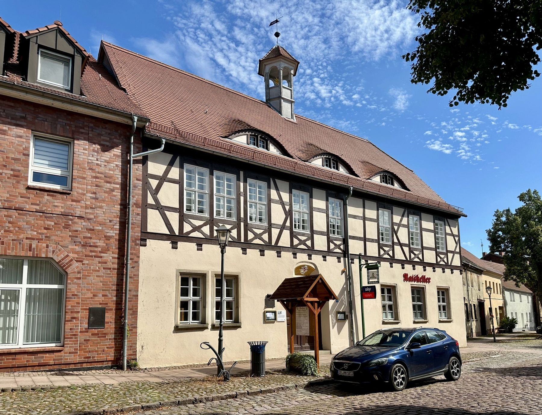
2. Brehna Marker - wide view
Location. 51° 33.518′ N, 12° 12.734′ E. Marker is in Sandersdorf-Brehna, Sachsen-Anhalt (Saxony-Anhalt), in Anhalt-Bitterfeld. It is in Brehna. It is on Markt, on the left when traveling south. Touch for map. Marker is at or near this postal address: Markt 1B, Sandersdorf-Brehna ST 06796, Germany. Touch for directions.

Regionally, this marker is in Central Germany. Globally, it is in Europe, the European Union, Atlantic Europe, Central Europe, the Schengen Area, Western Europe, and the Western World. Historically, it finds itself in what was once the Holy Roman Empire and also the former East Germany.
Other nearby markers. At least 6 other markers are within walking distance of this marker: Altes Rathaus / Old Town Hall (here, next to this marker); Kursächsische Postmeilensäule / Electoral Saxony Post Milestone (about 90 meters away, measured in a direct line); Stadt- und Klosterkirche Brehna / Brehna Town- and Convent Church (about 180 meters away); Neues Rathaus (ehemaliges Gutshaus) / New Town Hall (former manor house) (about 210 meters away); Pestalozzi-Schule Brehna / Pestalozzi School Brehna (about 210 meters away); “Schmidt-Mühle” (Bockwindmühle) / “Schmidt Mill” (Post Windmill) (approx. 0.4 kilometers away).
Credits. This page was last revised on September 21, 2025. It was originally submitted on September 21, 2025, by Andrew Ruppenstein of Lamorinda, California. This page has been viewed 61 times since then and 13 times this year. Photos: 1, 2. submitted on September 21, 2025, by Andrew Ruppenstein of Lamorinda, California.
