
Near Garrison in McLean County, North Dakota — The American Midwest (Upper Plains)
Contemporary Towns
Indian Hill

Photographed by Barry Swackhamer
1. Contemporary Towns Marker
Captions: (from the top left, counter-clockwise) The real site of FishHook Village, 1834-1886 Plan by Martin Bear Arm'; Elbowoods School, Elbowoods ND; Memorial Congregational Church in Elbowoods; Elbowoods buildings; View of Sahnish (sic) ND from Crow Flies High Butte
The tribes has settled at a peculiar bend in the Missouri River and built what came to be known as "Like-a-Fish-Hook" village; there first Fort Berthold trading post was established close by and named for trader Bartholomew Berthold of St. Louis or his son Pierre. After the tribes signed the Treaty of Laramie in 1851, the name Fort Berthold was given to their reservation. But it was not until 1868 that an Indian Agency was established adjacent to the village with Mahlon Wilkinson acting as the first agent.
After the agency office building was destroyed by fire in March 1890, the decision was made to move to a more central location.
this page online
Elbowoods was known for its basketball teams, with the 1942 team declared the State Class B champions, Elbowoods teams also competed in the 1942,1944,1045,1946,1948, and 1951 state Class B tournaments. Elbowoods was a busy place over the years and when it was finally abandoned in April 1954, as the flood waters of the Garrison Reservoir approached it was home to about 175 people. A new agency headquartered was then established at the new community of New Town near Sanish.
Another town that was lost with the building of the Garrison Reservoir was the original town of Sanish. The town was established in 1916, in between the base
Photographed by Barry Swackhamer
2. Contemporary Towns Marker, on the right
Several other villages existed on land outside the reservation and south of the Missouri River. Almost directly across the river was the town of Expansion created in 1899 as a river port to serve settlers in northern Mercer County. By 1901, when the Expansion Post Office was established, the place boasted a steamboat landing, ferry, grain elevator., general store, lumber yard, and saloon. Its population in 1910 was 35. After the Northern Pacific branch line to Killdeer was completed in 1914, the town declined rapidly. The post office closed in 1922. Ree, 15 miles further west came into existence in 1909 when the elevator and lumber yard were established. The post office, opened that year, was named Stoeltington, for the local bank cashier, but was soon changed to Ree. A grain elevator and store were later built. Like Expansion, the building of the railroad doomed the river town, the post office closed in 1929.
Erected by Indian Hill Resort.
Topics. This historical marker is listed in these topic lists: Indigenous Peoples and Communities • Settlements & Settlers.
Location. 47° 35.889′ N, 102° 5.873′ W. Marker is near Garrison, North Dakota, in McLean County. It can be reached from 73rd Avenue NorthWest near 14th Street NorthWest. The marker is located on the Nux Baa Ga (meansing “All the People” in Arikara) Trail. Touch for map. Marker is in this post office area: Garrison ND 58540, United States of America. Touch for directions.

Regionally, this marker is in North Dakota’s Mandan, Hidatsa, and Arikara Nation, in the Standing Rock Sioux Tribe, in the Drift Prairie, and on the Missouri Plateau. It is also in the American Lewis & Clark Corridor, on the prairies, and on the Northern Plains. Globally, it is in North America, the Western Hemisphere, the Western World, and the Anglosphere. Historically, it finds itself in what was once Rupert’s Land and also the Louisiana Purchase.
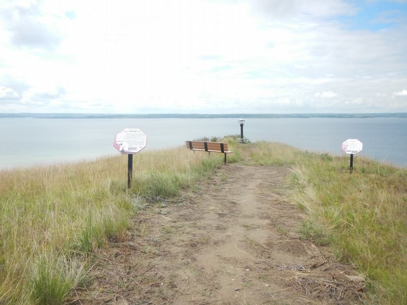
Other nearby markers. At least 8 other markers are within walking distance of this marker: Encampments (here, next to this marker); Lewis & Clark (about 300 feet away, measured in a direct line); Four Bears Bridge (about 400 feet away); Sakakawea (about 400 feet away); Lake Sakakawea (about 500 feet away); Nightwalker's Butte (approx. 0.2 miles away); a different marker also named Nightwalker's Butte (approx. 0.2 miles away); Geology (approx. 0.2 miles away). Touch for a list and map of all markers in Garrison.
Credits. This page was last revised on September 23, 2025. It was originally submitted on September 22, 2025, by Barry Swackhamer of Brentwood, California. This page has been viewed 88 times since then and 32 times this year. Photos: 1, 2. submitted on September 22, 2025, by Barry Swackhamer of Brentwood, California.
