
Kettle Falls in Stevens County, Washington — The American West (Northwest)
St. Paul's Mission
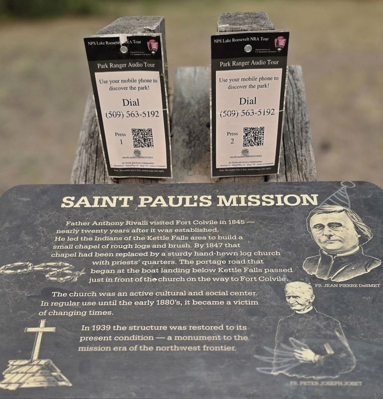
Photographed by Shirley A Stirling, September 5, 2025
1. St. Paul's Mission Marker
Topics. This historical marker is listed in these topic lists: Indigenous Peoples and Communities • Religion & Religious Structures. A significant historical year for this entry is 1845.
Location. 48° 37.711′ N, 118° 6.388′ W. Marker is in Kettle Falls, Washington, in Stevens County. It is on St Paul Mission Rd half a mile east of Sherman Pass Scenic Byway (Washington Highway 20). Touch for map. Marker is in this post office area: Kettle Falls WA 99141,
this page online

Regionally, this marker is in the Okanogan Highlands and in Greater Spokane. It is also in the American Mountain West and in the Lewis & Clark Corridor. Globally, it is in North America, the Pacific Rim, the Western Hemisphere, the Western World, and the Anglosphere.
Other nearby markers. At least 7 other markers are within 11 miles of this marker, measured as the crow flies: Fort Colville (within shouting distance of this marker); The Inchelium Ferry Bell (approx. 0.4 miles away); Silencing the Falls (approx. 0.4 miles away); Mounce's Shell Service Station 1937/Mervin Mounce 1932 (approx. 2.6 miles away); Townsite of Old Kettle Falls (approx. 2.6 miles away); Columbia/Munro Hotel (approx. 2.6 miles away); Arden Mill Stones (approx. 11 miles away).
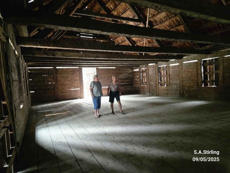
Photographed by Shirley A Stirling, September 5, 2025
2. St. Paul's Mission Marker
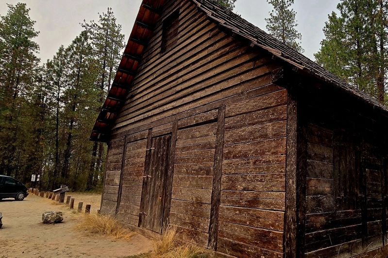
Photographed by Shirley A Stirling, September 5, 2025
3. St. Paul's Mission Marker
Marker is in the far left.
Credits. This page was last revised on January 16, 2026. It was originally submitted on September 23, 2025, by Shirley A Stirling of Lacey, Washington. This page has been viewed 78 times since then and 34 times this year. Photos: 1, 2. submitted on September 23, 2025, by Shirley A Stirling of Lacey, Washington. 3. submitted on January 16, 2026, by Shirley A Stirling of Lacey, Washington. • James Hulse was the editor who published this page.
