Central Oklahoma City in Oklahoma County, Oklahoma — The American South (West South Central)
Survivor Tree
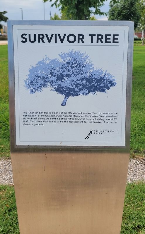
Photographed by James Hulse, September 18, 2025
1. Survivor Tree Marker
Erected by Scissortail Park.
Topics. This historical marker is listed in these topic lists: Horticulture & Forestry • Parks & Recreational Areas. A significant historical date for this entry is April 19, 1995.
Location. 35° 27.48′ N, 97° 31.119′ W. Marker is in Oklahoma City, Oklahoma, in Oklahoma County. It is in Central Oklahoma City. It is on Southwest 7th Street east of S Hudson Ave. The marker is located in Scissortail Park. Touch for map. Marker is in this post office area: Oklahoma City OK 73102, United States of America. Touch for directions.

Regionally, this marker is in Central Oklahoma—Frontier Country. It is also in the American South, specifically on the prairies, and on the Southern Plains. Globally, it is in North America, the Western Hemisphere, the Western World, and the Anglosphere. Historically, it finds itself in what was once the territory of the Mississippian Culture and also the Louisiana Purchase.
Other nearby markers. At least 8 other markers are within walking distance of this marker: Union Station (within shouting distance of this marker); a different marker also named Union Station (within shouting distance of this marker); C.G. "Gristmill" Jones (about 500 feet away, measured in a direct line); The Canal (about 500 feet away); South Oklahoma (approx. half a mile away); Visit of the Congressmen (approx. 0.6 miles away); Hell's Half Acre (approx. 0.6 miles away); T.M. Richardson and the Oklahoma Bank (approx. 0.6 miles away).
this page online
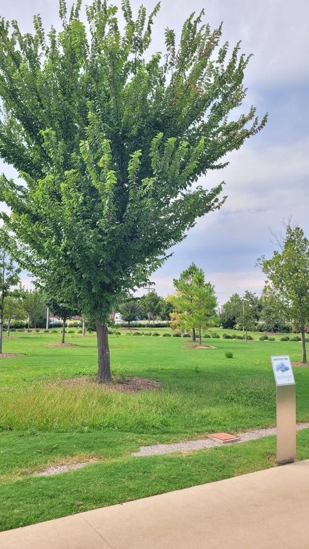
Photographed by James Hulse, September 18, 2025
2. The Survivor Tree and Marker
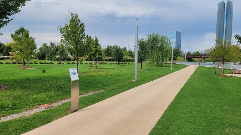
Photographed by James Hulse, September 18, 2025
3. The view of the Survivor Tree and Marker in the park
Credits. This page was last revised on September 23, 2025. It was originally submitted on September 23, 2025, by James Hulse of Medina, Texas. This page has been viewed 65 times since then and 22 times this year. Photos: 1, 2, 3. submitted on September 23, 2025, by James Hulse of Medina, Texas.
