Davis in Murray County, Oklahoma — The American South (West South Central)
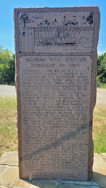
Oklahoma, Where Reflection Seismograph Was Born
Photographed by James Hulse, September 19, 2025
1. Oklahoma, Where Reflection Seismograph Was Born Marker
The Arbuckle Mountains of Okla. were selected for a pilot survey of the technique and equipment, because an entire geologic section from the basal Permian to the basement mass of granite is exposed here. This survey followed limited testing in June 1921 in the outskirts of Oklahoma City.
Verification and confirmation testing was conducted in the Arbuckles beginning July 4, 1921 by Dr. Karcher, and Dr. W.P. Haseman, Dr. D.W. O'hern, and Dr. Irving Perrine of the University of Oklahoma. Results were promising.
The world's first reflection seismograph geologic section was measured on August 9, 1921 along Vines Branch, a few miles north of Dougherty near here.
The reflection technique has become the major method of energy exploration throughout the world. By 1983, more than 70 percent of the 18,600 members of the Society of Exploration Geophysicists in 112 countries were involved in reflection seismography.
Erected 1983 by Oklahoma Historical Society with Oklahoma-Kansas Oil & Gas Association.
Topics. This historical marker is listed in these topic lists: Industry & Commerce • Science & Medicine. A significant historical month for this entry is June 1921.
Location. 34° 25.637′ N, 97° 8.745′ W. Marker is in Davis, Oklahoma, in Murray County. It is on U.S. 77 2.2 miles north of Interstate 35, on the left when traveling north. The marker
this page online

Regionally, this marker is in the Chickasaw Nation and in South Central Oklahoma—Chickasaw Country. It is also in the American South, specifically on the prairies, and on the Southern Plains. Globally, it is in North America, the Western Hemisphere, the Western World, and the Anglosphere. Historically, it finds itself in what was once the territory of the Mississippian Culture and also the Louisiana Purchase.
Other nearby markers. At least 5 other markers are within 12 miles of this marker, measured as the crow flies: Hutchins & Sons Furniture & Undertaking (approx. 5½ miles away); Fort Arbuckle (approx. 8.7 miles away); In Memory Of Of Those Who Died In Training Accidents During WWII And The Korean Conflict (approx. 10.8 miles away); Civilian Conservation Corps and Platt National Park (approx. 11.2 miles away); Sulphur (approx. 11.2 miles away).
Photographed by James Hulse, September 19, 2025
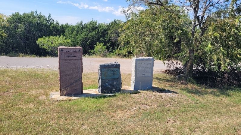
2. Oklahoma, Where Reflection Seismograph Was Born Marker (left marker)
Photographed by James Hulse, September 19, 2025
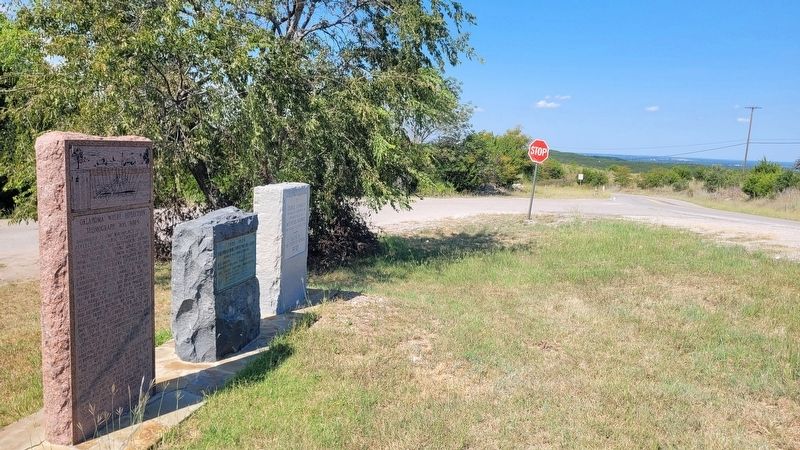
3. The view of the markers along the highway
Photographed by James Hulse, September 19, 2025
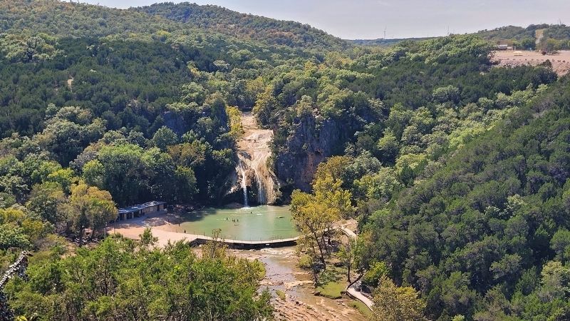
4. The view of the Turner Falls at the overlook
Credits. This page was last revised on September 24, 2025. It was originally submitted on September 23, 2025, by James Hulse of Medina, Texas. This page has been viewed 120 times since then and 55 times this year. Photos: 1, 2, 3, 4. submitted on September 24, 2025, by James Hulse of Medina, Texas.
