Enterprise in Washington County, Utah — The American Mountains (Southwest)
Hebron Pioneer Settlement on Shoal Creek
Photographed by Jeremy Snow, September 11, 2025
1. Hebron Pioneer Settlement on Shoal Creek Marker
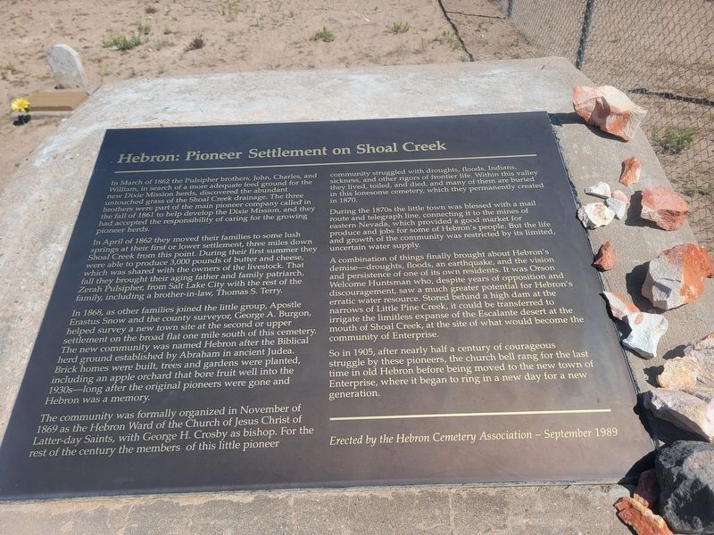
In April of 1862 they moved their families to some lush springs at their first or lower settlement, three miles down Shoal Creek from this point. During their first summer they were able to produce 3,000 pounds of butter and cheese, which was shared with the owners of the livestock. That fall they brought their aging father and family patriarch, Zerah Pulsipher, from Salt Lake City with the rest of the family, including a brother-in-law, Thomas S. Terry.
In 1868, as other families joined the little group, Apostle Erastus Snow and the county surveyor, George A. Burgon, helped survey a new town site at the second or upper settlement on the broad flat one mile south of this cemetery. The new community was named
this page online
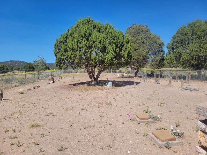
The community was formally organized in November of 1869 as the Hebron Ward of the Church of Jesus Christ of Latter-day Saints, with George H. Crosby as bishop. For the rest of the century the members of this little pioneer community struggled with droughts, floods, Indians, sickness, and other rigors of frontier life. Within this valley they lived, toiled, and died, and many of them are buried in this lonesome cemetery, which they permanently created in 1870.
During the 1870s the little town was blessed with a mail route and telegraph line, connecting it to the mines of eastern Nevada, which provided a good market for produce and jobs for some of Hebron's people. But the life and growth of the community was restricted by its limited, uncertain water supply.
A combination of things finally brought about Hebron's demise - droughts, floods, an earthquake, and the
Photographed by Jeremy Snow, September 11, 2025
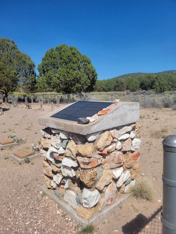
2. Hebron Pioneer Settlement on Shoal Creek Marker
So in 1905, after nearly half a century of courageous struggle by these pioneers, the church bell rang for the last time in old Hebron before being moved to the new town of Enterprise, where it began to ring in a new day for a new generation.
Erected 1989 by Hebron Cemetery Association.
Topics. This historical marker is listed in these topic lists: Cemeteries & Burial Sites • Settlements & Settlers. A significant historical month for this entry is March 1862.
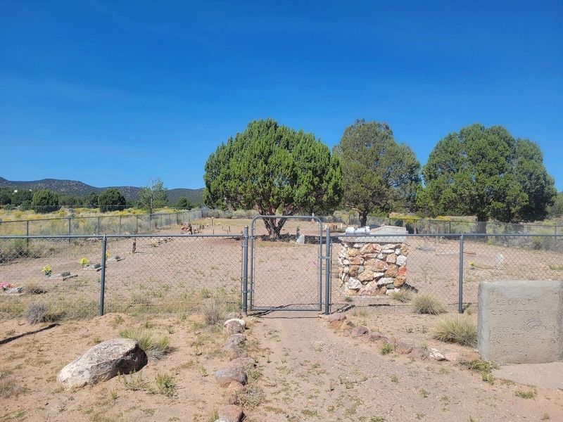
Location. 37° 35.417′ N, 113° 49.523′ W. Marker is in Enterprise, Utah, in Washington County. It is on North Old Hebron Road. Marker located at the entrance of the cemetery. Follow signs to the Hebron Cemetery from the intersection of Old Highway
Photographed by Jeremy Snow, September 11, 2025
3. Hebron Pioneer Settlement on Shoal Creek Marker and Cemetery

Regionally, this marker is in Color Country. It is also in the American Southwest, in the Mountain West, and on the Colorado Plateau. Globally, it is in North America, the Rocky Mountains, the Western Hemisphere, the Western World, and the Anglosphere. Historically, it finds itself in what was once New Spain and also Mexico’s Alta California.
Other nearby markers. At least 8 other markers are within 7 miles of this marker, measured as the crow flies: Old Hebron (approx. one mile away); Enterprise (approx. 5.8 miles away); Orson W. Huntsman Founder of Enterprise (approx. 6 miles away); The Enterprise War Tithing Granary (approx. 6 miles away); The Fairbanks Morse (approx. 6 miles away); Small Cultivator (approx. 6.7 miles away); Plow (approx. 6.7 miles away); Handcart (approx. 6.7 miles away). Touch for a list and map of all markers in Enterprise.
Photographed by Jeremy Snow, September 11, 2025
4. Old Hebron Cemetery
Credits. This page was last revised on October 2, 2025. It was originally submitted on September 23, 2025, by Jeremy Snow of Cedar City, Utah. This page has been viewed 43 times since then and 16 times this year. Photos: 1, 2, 3, 4. submitted on September 23, 2025, by Jeremy Snow of Cedar City, Utah. • Andrew Ruppenstein was the editor who published this page.
