
Scranton in Lackawanna County, Pennsylvania — The American Northeast (Mid-Atlantic)
Brooks Coal Mine
Photographed by William Fischer, Jr., September 24, 2025
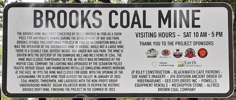
1. Brooks Coal Mine Marker
The Brooks Mine was first conceived by Reese Brooks in 1900 as a show piece for anthracite mining during the development of Nay Aug Park. Brooks opened this drift mine publicly in 1902 as an exhibition while he was the operator of the Greenwood Mine in Moosic. While not a large mine, there is a sizable coal deposit inside, and under Nay Aug Park. The mine is driven into the outcrop of the Dunmore No. 2 and No. 3 veins of coals. The mine was closed temporarily in 1938. In 1953 it was retimbered by the Moffat Coal Company, the lighting upgraded by the Scranton Police Traffic Repair Squad, and mannequins installed simulating miners working at the face. In 1975 the mine was closed for good, with the opening of the Lackawanna 190 Slope Mine Tour across the valley. In January 2022, coal miners, timbermen, and laborers with the non-profit group "Underground Miners" began volunteer work to reopen the historic Brooks Drift Mine, finishing the project in the summer of 2023.
Erected 2023 by City of Scranton, Underground Miners, R&R Logging, Casey-Kassa Coal Co., Jeddo Coal Co., Earth Conservancy, Atlantic Carbon Group, and
this page online
Topics. This historical marker is listed in these topic lists: Education • Environment • Industry & Commerce. A significant historical year for this entry is 1902.
Location. 41° 24.033′ N, 75° 38.593′ W. Marker is in Scranton, Pennsylvania, in Lackawanna County. It can be reached from Mulberry Street. The marker and mine are in Nay Aug Park, east of the Everhart Museum. Touch for map. Marker is at or near this postal address: 1901 Mulberry Street, Scranton PA 18510, United States of America. Touch for directions.

Regionally, this marker is in Pennsylvania’s Wyoming Valley. It is also in the American Northeast, in the Mid-Atlantic, in Appalachia, and specifically in Northern Appalachia. Globally, it is in North America, the Western Hemisphere, the Western World, and the Anglosphere. Historically, it finds itself in what was once the Haudenosaunee (Iroquois) Confederacy and also one of the original Thirteen Colonies.
Other nearby markers. At least 8 other markers are within walking distance of this marker: Coal Miners Memorial (here, next to this marker); The “Pioneer” (within shouting distance of this
Photographed by William Fischer, Jr., September 24, 2025
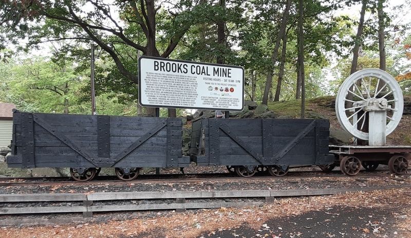
2. Brooks Coal Mine Marker
Another marker is no longer nearby. Brooks Model Coal Mine (was here, next to this marker but has been permanently removed).

Photographed by William Fischer, Jr., November 23, 2025
3. Brooks Coal Mine and Marker
Credits. This page was last revised on November 23, 2025. It was originally submitted on September 24, 2025, by William Fischer, Jr. of Reynoldsburg, Ohio. This page has been viewed 75 times since then and 32 times this year. Photos: 1, 2. submitted on September 24, 2025, by William Fischer, Jr. of Reynoldsburg, Ohio. 3. submitted on November 23, 2025, by William Fischer, Jr. of Reynoldsburg, Ohio.
