Milford Mine Memorial Park near Wolford in Crow Wing County, Minnesota — The American Midwest (Upper Plains)
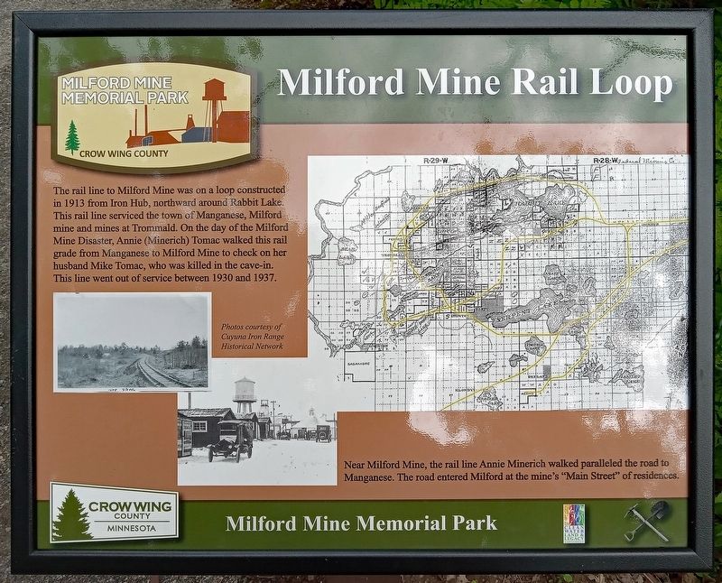
Milford Mine Rail Loop
| — | Milford Mine Memorial Park | — |
Photographed by McGhiever, June 27, 2025
1. Milford Mine Rail Loop Marker
The rail line to Milford Mine was on a loop constructed in 1913 from Iron Hub, northward around Rabbit Lake. This rail line serviced the town of Manganese, Milford Mine and mines at Trommald. On the day of the Milford Mine Disaster, Annie (Minerich) Tomac walked this rail grade from Manganese to Milford Mine to check on her husband Mike Tomac, who was killed in the cave-in. This line went out of service between 1930 and 1937.
Photos courtesy of Cuyuna Iron Range Historical Network
Near Milford Mine, the rail line Annie Minerich walked paralleled the road to Manganese. The road entered Milford at the mine's "Main Street" of residences.
Erected by Crow Wing County.
Topics. This historical marker is listed in these topic lists: Disasters • Railroads & Streetcars • Roads & Vehicles. A significant historical year for this entry is 1913.
Location. 46° 32.129′ N, 93° 58.685′ W. Marker is near Wolford, Minnesota, in Crow Wing County. It is in Milford Mine Memorial Park. It can be reached from Milford Lake Drive. The marker is between trail intersection 7 and 8. Touch for map. Marker is in this post office
this page online

Regionally, this marker is in the Northland. It is also in the American Midwest, in the Corn Belt, and in the Great River Road Region. Globally, it is in North America, the Great North Woods, the Western Hemisphere, the Western World, and the Anglosphere. Historically, it finds itself in what was once Rupert’s Land, the territory of the Mississippian Culture, and the Northwest Territory.
Other nearby markers. At least 8 other markers are within walking distance of this marker: Road to Manganese (about 300 feet away, measured in a direct line); Railroad Construction on the Cuyuna Range (about 400 feet away); Cuyuna Iron Range Railway: Spanning Rivers, Lakes, & Wetlands (approx. 0.2 miles away); Barrow Pits for Rail Grade & Road Construction (approx. 0.2 miles away); Soo Line Railroad Hauls Cuyuna Ore (approx. 0.2 miles away); Storage Facility (approx. 0.2 miles away); Dikes (approx. 0.2 miles away); a different marker also named Barrow Pits for Rail Grade & Road Construction (approx. 0.2 miles away). Touch for a list and map of all markers in Wolford.
Photographed by McGhiever, June 27, 2025
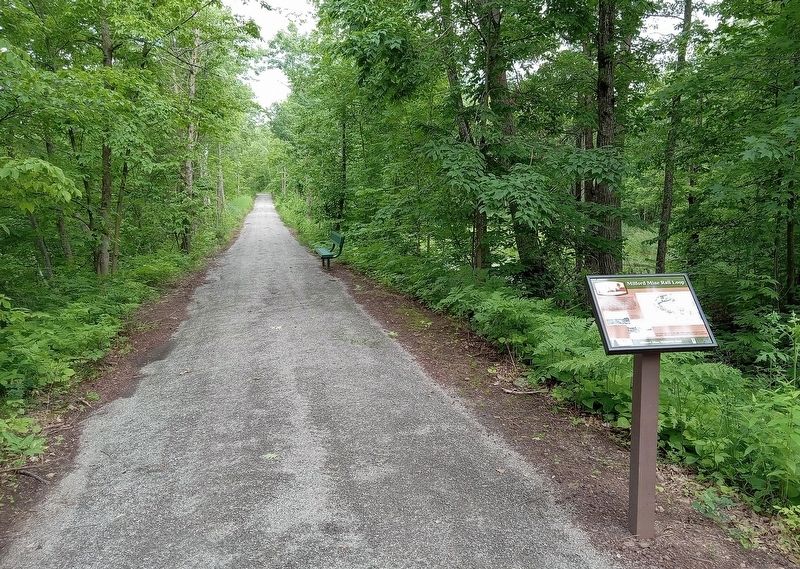
2. Milford Mine Rail Loop Marker on a trail in Milford Mine Memorial Park
Credits. This page was last revised on October 19, 2025. It was originally submitted on September 26, 2025, by McGhiever of Minneapolis, Minnesota. This page has been viewed 76 times since then and 46 times this year. Photos: 1, 2. submitted on September 26, 2025, by McGhiever of Minneapolis, Minnesota.
