Mansfield in Richland County, Ohio — The American Midwest (Great Lakes)
Measuring Distance With Light Waves
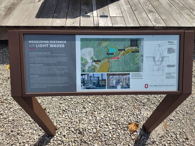
Photographed by Craig Doda, September 20, 2025
1. Measuring Distance With Light Waves Marker
Surveying "Baseline" Definition
A line between two points on the Earth's surface and the direction and distance between them.
The Ohio Standard Baseline (OSB) consisted of eight concrete pillars spaced along a distance of 500 meters: two pillars at 0 meters and then one each at 1, 5, 25, 125, 250, and 500 meters. Atop each pillar, equipment - eight mirrors, two quartz meters, and a telescope - measured the reflection of light.
Väisälä Comparator
The OSB's primary measuring equipment was the Väisälä Comparator, named after Yrjö Väisälä, who was the first to propose the use of white light interferometry in 1923 while a graduate student at the University of Helsinki. Differences in the distance traveled by the reflected light were measured in micrometers by examining the diffraction interference observed in the telescope. As designed, the accuracy of the OSB could detect "the pressure of a finger" touching one of the pillars.
Sponsorship
The project was sponsored by The Ohio State University in collaboration with the Finnish Geodetic Institute and was funded by Ohio State's Council on Research and a grant from
this page online
The OSB stipulated that the project was to be constructed on property owned by the state, preferably by the university. The Mansfield campus was selected because it provided a known, stable landform.
Erected by The Ohio State University.
Topics. This historical marker is listed in this topic list: Science & Medicine. A significant historical year for this entry is 1923.
Location. 40° 47.779′ N, 82° 35.216′ W. Marker is in Mansfield, Ohio, in Richland County. It is at the intersection of Kenwood Circle and North Lexington-Springmill Road, on the right when traveling east on Kenwood Circle. Touch for map. Marker is at or near this postal address: 2421 Kenwood Circle, Mansfield OH 44906, United States of America. Touch for directions.

Regionally, this marker is in the American Midwest. Globally, it is in North America, the Western Hemisphere, the Western World, and the Anglosphere. Historically,
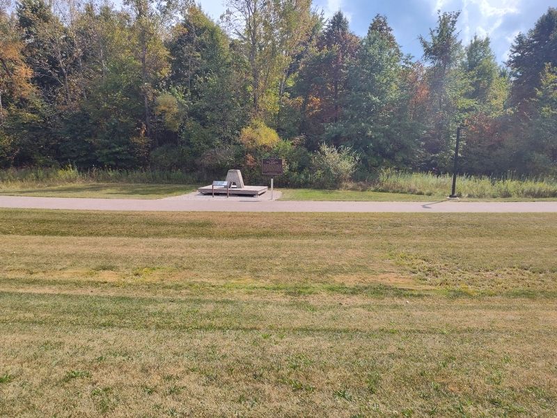
Photographed by Craig Doda, September 20, 2025
2. Measuring Distance With Light Waves Marker
Other nearby markers. At least 8 other markers are within 4 miles of this marker, measured as the crow flies: Ohio Standard Baseline (here, next to this marker); We Remember The Holocaust And Say... Never Again (approx. 3½ miles away); Mansfield Block House (approx. 3½ miles away); "Johnny Appleseed" Monument (approx. 3.6 miles away); 120th Ohio Volunteer Infantry Memorial (approx. 3.6 miles away); St. Peters Evangelical Lutheran Church Bell (approx. 3.6 miles away); The Sultana Disaster (approx. 3.6 miles away); Eagle Scout Projects at South Park (approx. 3.6 miles away). Touch for a list and map of all markers in Mansfield.
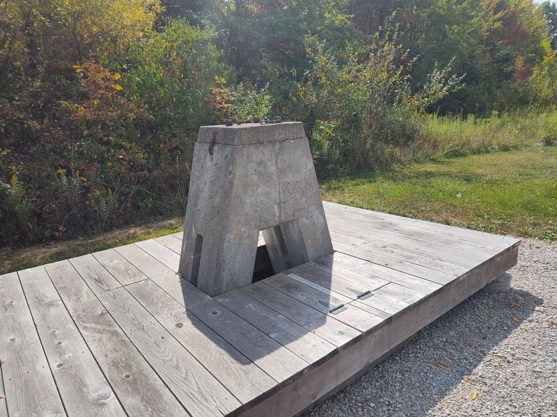
Photographed by Craig Doda, September 20, 2025
3. Measuring Distance With Light Waves Marker
Credits. This page was last revised on October 2, 2025. It was originally submitted on September 27, 2025, by Craig Doda of Napoleon, Ohio. This page has been viewed 48 times since then and 19 times this year. Photos: 1, 2, 3. submitted on September 27, 2025, by Craig Doda of Napoleon, Ohio. • Andrew Ruppenstein was the editor who published this page.
