Near Sanger in Oliver County, North Dakota — The American Midwest (Upper Plains)
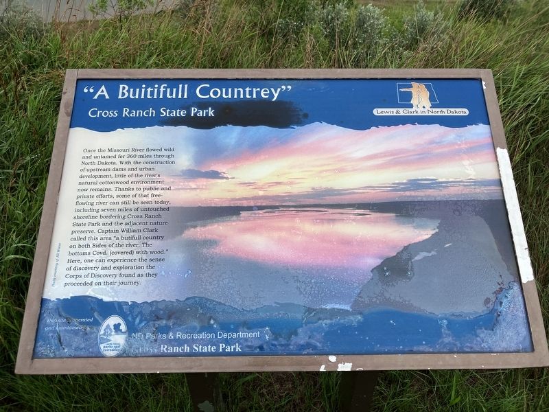
"A Buitifull Countrey"
Cross Ranch State Park
Photographed by Barry Swackhamer, July 22, 2025
1. "A Buitifull Countrey" Marker
Erected by North Dakota Parks & Recreation Department.
Topics and series. This historical marker is listed in these topic lists: Exploration • Natural Features. In addition, it is included in the Lewis & Clark Expedition series list.
Location. 47° 11.014′ N, 100° 59.486′ W. Marker is near Sanger, North Dakota, in Oliver County. It can be reached from the intersection of 22nd Avenue SouthWest (aka River Road) and
this page online

Regionally, this marker is in the Standing Rock Sioux Tribe, on the Missouri Plateau, and in Greater Bismarck Area. It is also in the American Lewis & Clark Corridor, on the prairies, and on the Northern Plains. Globally, it is in North America, the Western Hemisphere, the Western World, and the Anglosphere. Historically, it finds itself in what was once Rupert’s Land and also the Louisiana Purchase.
Other nearby markers. At least 8 other markers are within 8 miles of this marker, measured as the crow flies: Cross Ranch (about 500 feet away, measured in a direct line); The Missouri: Origin and History (approx. 1.8 miles away); The Story of Painted Woods (approx. 2 miles away); Painted Woods (approx. 2 miles away); The Missouri : A Landscape Altered (approx. 2.2 miles away); The Missouri: An Early Highway (approx. 2½ miles away); Soo Line Railroad & Depot (approx. 7.3 miles away); Taylor Cabin (approx.
Photographed by Barry Swackhamer, July 22, 2025
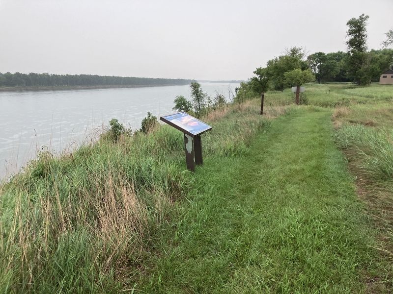
2. "A Buitifull Countrey" Marker
Credits. This page was last revised on September 27, 2025. It was originally submitted on September 27, 2025, by Barry Swackhamer of Brentwood, California. This page has been viewed 41 times since then and 16 times this year. Photos: 1, 2. submitted on September 27, 2025, by Barry Swackhamer of Brentwood, California.
