
Near Winter Harbor in Hancock County, Maine — The American Northeast (New England)
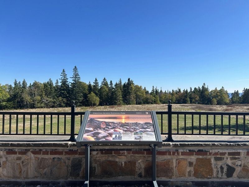
Creating Acadia National Park

Photographed by Steve Stoessel, September 27, 2025
1. Creating Acadia National Park Marker
The beauty of this region inspired naturalists, artists, philanthropists, and environmental leaders to resist development and conserve the land. Despite their varied backgrounds, these individuals shared the goals of acquiring property and lobbying for full national park status. Acadia National Park shows how those with a clear vision can make their dreams a reality.
George B. Dorr & Charles W. Eliot
George B. Dorr (left) and Charles W. Eliot (right) were two of the chief creative forces behind Acadia. Thanks to the efforts of these and other individuals, millions of people enjoy the recreational opportunities, research, and educational programs offered by Acadia National Park and the Schoodic Education and Research Center.
Waldron Bates
In the early 1900s, pioneer pathmaker Waldron Bates led the addition of 25 miles of trails to Acadia's landscape. He built unique, artistic cairns, or stone piles, along the trails to guide hikers. Today, Acadia has adopted this simple, historic style on many of its trails, in recognition of his artistic approach to pathmaking.
Erected by National Park Service.
Topics.
this page online
Location. 44° 20.162′ N, 68° 3.541′ W. Marker is near Winter Harbor, Maine, in Hancock County. It can be reached from Atterbury Circle south of Acadia Drive. Marker is behind Rockefeller Hall at the Schoodic section of Acadia National Park. Touch for map. Marker is at or near this postal address: 1 Atterbury Circle, Winter Harbor ME 04693, United States of America. Touch for directions.

Regionally, this marker is on Mount Desert Island and in Downeast Maine. It is also in the American Northeast, in New England, and on the Eastern Seaboard. Globally, it is in the North Atlantic Region, North America, the Great North Woods, the Western Hemisphere, the Western World, and the Anglosphere. Historically, it finds itself in what was once the Viceroyalty of New France and also Acadia.
Other nearby markers. At least 8 other markers are within 6 miles of this marker, measured as the crow flies: Not a Typical Military Barracks (within shouting distance of this marker); John Godfrey Moore (approx. ¼ mile away);
Photographed by Steve Stoessel, September 27, 2025
2. Creating Acadia National Park Marker
Also see . . . Acadia National Park (Wikipedia). (Submitted on September 27, 2025, by Steve Stoessel of Niskayuna, New York.)
Credits. This page was last revised on September 27, 2025. It was originally submitted on September 27, 2025, by Steve Stoessel of Niskayuna, New York. This page has been viewed 48 times since then and 20 times this year. Photos: 1, 2. submitted on September 27, 2025, by Steve Stoessel of Niskayuna, New York.
