Jonesport in Washington County, Maine — The American Northeast (New England)
Friendship Road
Jonesport, Maine through Jaffa to Jerusalem
| — | Nellie Chapin Journey to the Holy Land, State of Israel | — |
Photographed by Steve Stoessel, September 28, 2025
1. Friendship Road Marker
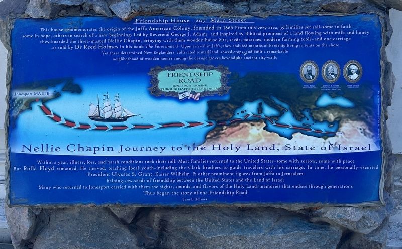
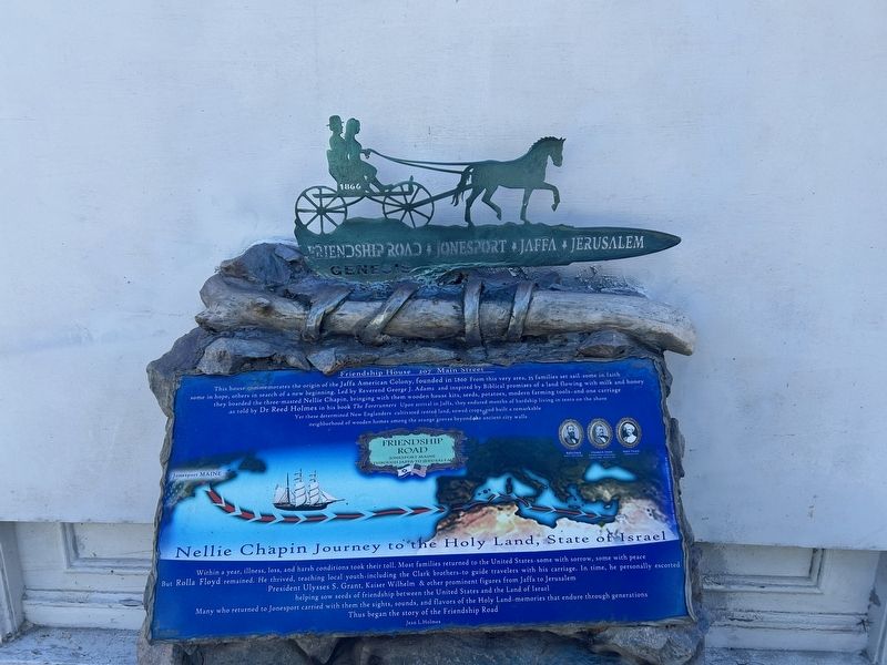
This house cemmemorates the origin of the Jaffa American Colony, founded in 1866. From this very area, 35 families set sail-some in faith some in hope, others in search of a new beginning. Led by Reverend George J. Adams and inspired by Biblical promises of a land flowing with milk and honey they boarded the three-masted Nellie Chapin, bringing with them wooden house kits, seeds, potatoes, modern farming tools-and one carriage as told by Dr. Reed Holmes in his book “The Forerunners”. Upon arrival in Jaffa, they endured months of hardship living in tents on the shore. Yet these determined New Englanders cultivated rented land, sowed crops and built a remarkable neighborhood of wooden homes among the orange groves beyond the ancient city walls.
Within a year, illness, loss, and harsh conditions took their toll, Most families returned to the United States-some with sorrow, some with peace But Rolla Floyd remained. He thrived, teaching local youth-including the Clark brothers-to guide travelers with his carriage. In time, he personally escorted President Ulysses S. Grant, Kaiser Wilhelm & other prominent figures
this page online
Many who returned to Jonesport carried with them the sights, sounds, and flavors of the Holy Land-memories that endure through generations. Thus began the story of the Friendship Road
Jean L.Holmes
Erected by Friendship House.
Topics. This historical marker is listed in these topic lists: Immigration • Religion & Religious Structures • Settlements & Settlers. A significant historical year for this entry is 1866.
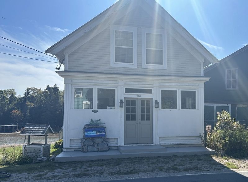
Location. 44° 31.923′ N, 67° 36.001′ W. Marker is in Jonesport, Maine, in Washington County. It is at the intersection of Main Street (Maine Route 187) and Gaelic Square, on the right when traveling east on Main Street. Touch for map. Marker is at or near this postal address: 207 Main Street, Jonesport ME 04649, United States of America. Touch for directions.

Regionally, this marker is in Downeast Maine. It is also in the American Northeast, in New England, and on the Eastern Seaboard. Globally, it is in the North Atlantic Region, North America, the Great North Woods, the Western Hemisphere, the Western
Photographed by Steve Stoessel, September 28, 2025
2. Friendship Road Marker
Other nearby markers. At least 8 other markers are within 9 miles of this marker, measured as the crow flies: Town of Jonesport (about 600 feet away, measured in a direct line); The Old House Point Gang (about 700 feet away); Jonesport War Memorial (approx. ¼ mile away); Hassey’s Riverside Park (approx. 9 miles away); Lumber Mill (approx. 9.1 miles away); Hannah Weston Memorial (approx. 9.1 miles away); Jonesboro Union Church (approx. 9.1 miles away); Jonesboro War Memorial (approx. 9.1 miles away). Touch for a list and map of all markers in Jonesport.
Photographed by Steve Stoessel, September 28, 2025
3. Friendship Road Marker
Credits. This page was last revised on September 28, 2025. It was originally submitted on September 28, 2025, by Steve Stoessel of Niskayuna, New York. This page has been viewed 65 times since then and 26 times this year. Photos: 1, 2, 3. submitted on September 28, 2025, by Steve Stoessel of Niskayuna, New York.
