
Near Grover in Wayne County, Utah — The American Mountains (Southwest)
Early Explorers
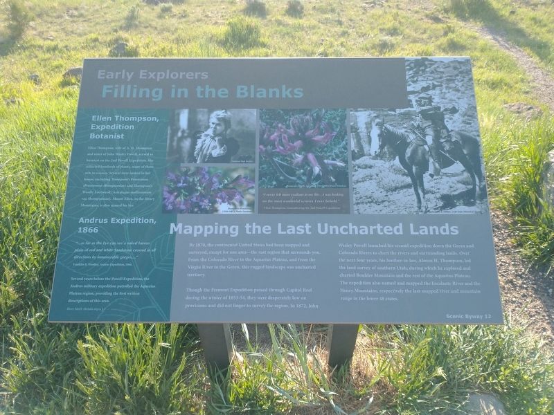
Filling in the Blanks
Photographed by Tom Bosse, June 12, 2025
1. Early Explorers Marker
Mapping the Last Uncharted Lands
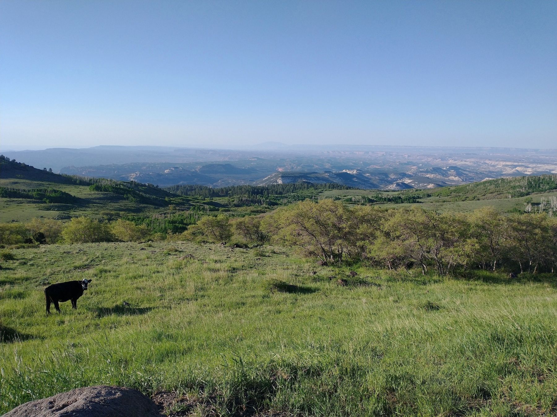
By 1870, the continental United States had been mapped and surveyed, except for one area – the vast region that surrounds you. From the Colorado River to the Aquarius Plateau, and from the Virgin River to the Green, this rugged landscape was uncharted territory.
Though the Fremont Expedition passed through Capitol Reef during the winter of 1853-54, they were desperately low on provisions and did not linger to survey the region. In 1872, John Wesley Powell launched his second expedition down the Green and Colorado Rivers to chart the rivers and surrounding lands. Over the next four years, his brother-in-law, Almon H. Thompson, led the land survey of southern Utah, during which he explored and charted Boulder Mountain and the rest of the Aquarius Plateau. The expedition also named and mapped the Escalante River and Henry Mountains, respectively the last-mapped river and mountain range in the lower 48 states.
Ellen Thompson, Expedition Botanist
Ellen Thompson, wife of A. H. Thompson and sister of John Wesley Powell, served as botanist on the 2nd Powell Expedition. She collected hundreds
this page online
Andrus Expedition, 1866
“…as far as the Eye can see a naked barren plain of red and white Sandstone crossed in all directions by innumerable gorges….
” Franklin B. Woolley, Andrus Expedition, 1866
Several years before the Powell Expedition, the Andrus military expedition patrolled the Aquarius Plateau region, providing the first written descriptions of this area.
[Caption]: River birch (Betula nigra L.)
[Caption]: Thompson’s Penstemon / USDA-NRCS Plants Database
[Caption]: Thompson’s Wooly Locoweed / USDA-NRCS Plants Database
[Caption]: “I never felt more exultant in my life…I was looking on the most wonderful scenery I ever beheld.” – Ellen Thompson, remembering the 2nd Powell Expedition.
[Caption]: Almon J. Thompson / John K. Hillers, Utah State Historical Society
Erected by Scenic Byway 12.
Topics. This historical marker is listed in these topic
Photographed by Tom Bosse, June 12, 2025
2. Early Explorers Marker
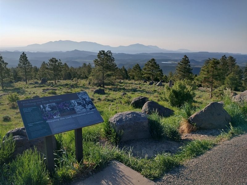
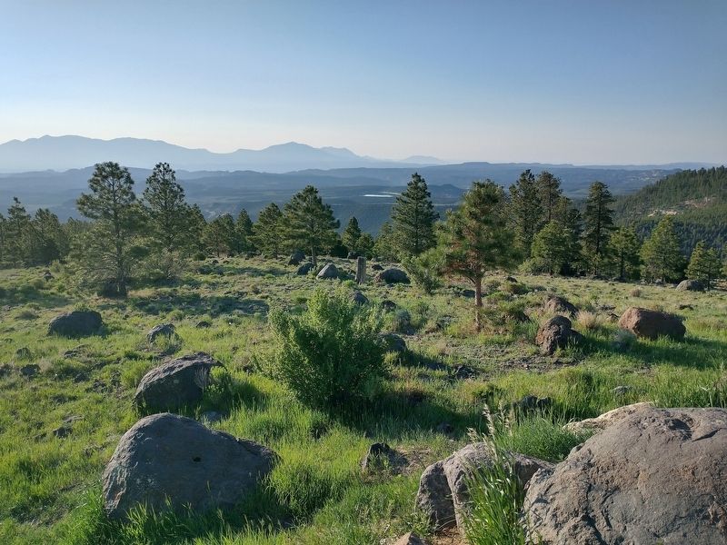
Location. 38° 7.958′ N, 111° 19.574′ W. Marker is near Grover, Utah, in Wayne County. It can be reached from Utah Route 12, on the right when traveling north. Marker is located at the Larb Hollow Overlook. Touch for map. Marker is in this post office area: Teasdale UT 84773, United States of America. Touch for directions.

Regionally, this marker is in Canyon Country. It is also in the American Mountain West, on the Colorado Plateau, and at the Four Corners. Globally, it is in North America, the Western Hemisphere, the Western World, and the Anglosphere. Historically, it finds itself in what was once New Spain and also Mexico’s Alta California.

Other nearby markers. At least 8 other markers are within 12 miles of this marker, measured as the crow flies: Across A Vast Horizon (approx. 8.6 miles away); Paving Boulder Mountain Road (approx. 8.6 miles away); Passage Through Time (approx. 8.9 miles away); The Price of a Promise (approx. 10.1 miles away); Exploring Scenic Drive (approx. 10.9 miles away); Pendleton-Jorgenson-Gifford Barn Story (approx.
Photographed by Tom Bosse, June 12, 2025
3. View from Larb Hollow Overlook
Photographed by Tom Bosse, June 12, 2025
4. View from Larb Hollow Overlook
Credits. This page was last revised on September 28, 2025. It was originally submitted on September 28, 2025, by Tom Bosse of Jefferson City, Tennessee. This page has been viewed 48 times since then and 23 times this year. Photos: 1, 2, 3, 4. submitted on September 28, 2025, by Tom Bosse of Jefferson City, Tennessee. • Andrew Ruppenstein was the editor who published this page.
