
Milford Mine Memorial Park near Wolford in Crow Wing County, Minnesota — The American Midwest (Upper Plains)
Geology
| — | Milford Mine Memorial Park | — |
Photographed by McGhiever, June 27, 2025
1. Geology Marker
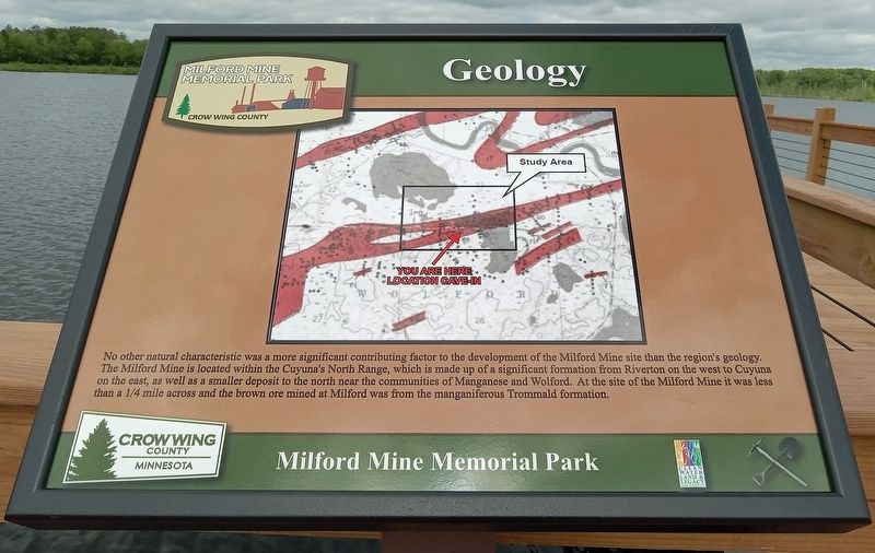
No other natural characteristic was a more significant contributing factor to the development of the Milford Mine site than the region's geology. The Milford Mine is located within the Cuyuna's North Range, which is made up of a significant formation from Riverton on the west to Cuyuna on the east, as well as a smaller deposit to the north near the communities of Manganese and Wolford. At the site of the Milford Mine it was less than a 1/4 mile across and the brown ore mined at Milford was from the manganiferous Trommald formation.
Erected by Crow Wing County.
Topics. This historical marker is listed in these topic lists: Environment • Industry & Commerce.
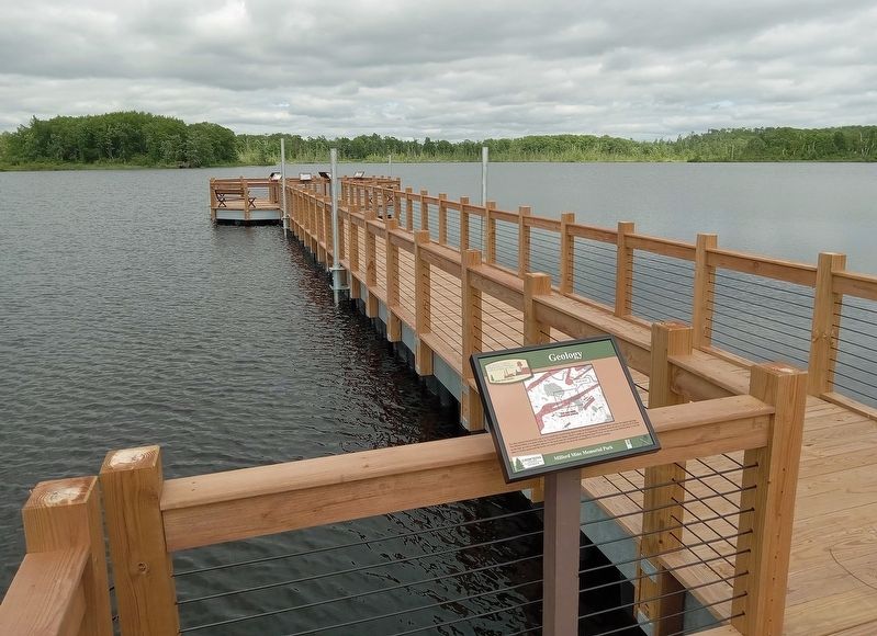
Location. 46° 32.133′ N, 93° 58.173′ W. Marker is near Wolford, Minnesota, in Crow Wing County. It is in Milford Mine Memorial Park. It can be reached from Milford Lake Drive. The marker is halfway down the pier in Milford Lake. Touch for map. Marker is in this post office area: Crosby MN 56441, United States of America. Touch for directions.

Regionally, this marker is in Minnesota’s Northland. It
this page online
Other nearby markers. At least 8 other markers are within walking distance of this marker: Milford Mine Pre-Disaster (within shouting distance of this marker); Milford Mine Collapse (within shouting distance of this marker); a different marker also named Milford Mine Collapse (within shouting distance of this marker); a different marker also named Milford Mine Collapse (within shouting distance of this marker); a different marker also named Milford Mine Collapse (within shouting distance of this marker); Foley Pond/Milford Lake (within shouting distance of this marker); Timber Shaft (within shouting distance of this marker); Milford Miners Memorial (about 300 feet away, measured in a direct line). Touch for a list and map of all markers in Wolford.
Photographed by McGhiever, June 27, 2025
2. Geology Marker on the pier in Milford Lake
Credits. This page was last revised on October 12, 2025. It was originally submitted on September 28, 2025, by McGhiever of Minneapolis, Minnesota. This page has been viewed 50 times since then and 23 times this year. Photos: 1, 2. submitted on September 28, 2025, by McGhiever of Minneapolis, Minnesota.
