Argyle in London in Middlesex County, Ontario — Central Canada (North America)
John Clark House
Photographed by Tim Boyd, September 14, 2025
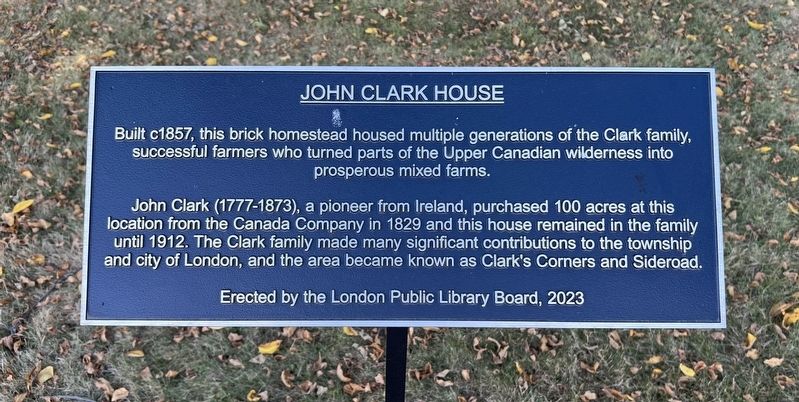
1. John Clark House Marker
John Clark (1777-1873), a pioneer from Ireland, purchased 100 acres at this location from the Canada Company in 1829 and this house remained in the family until 1912. The Clark family made many significant contributions to the township and city of London, and the area became known as Clark's Corners and Sideroad.
Erected 2023 by London Public Library Board.
Topics. This historical marker is listed in these topic lists: Agriculture • Settlements & Settlers. A significant historical year for this entry is 1857.
Location. 43° 0.369′ N, 81° 10.603′ W. Marker is in London, Ontario, in Middlesex County. It is in Argyle. It is on Clarke Road 0.1 kilometers south of Avalon Street, on the right when traveling south. Touch for map. Marker is at or near this postal address: 437 Clarke Road, London ON N5W 6H1, Canada. Touch for directions.

Regionally, this marker is in the Southwest Ontario Area and in Southwestern Ontario. It is also
this page online
Other nearby markers. At least 8 other markers are within 5 kilometers of this marker, measured as the crow flies: Dawn of Tomorrow (approx. 3.4 kilometers away); Engine 86 (approx. 3.9 kilometers away); The East London Town Hall (approx. 4.3 kilometers away); Battle of Vimy Ridge (approx. 4.6 kilometers away); Cpl Filip Konowal VC (approx. 4.6 kilometers away); Liberation of the Netherlands (approx. 4.7 kilometers away); Netherlands Liberation Bell (approx. 4.7 kilometers away); D-Day (approx. 4.7 kilometers away). Touch for a list and map of all markers in London.
Photographed by Tim Boyd, September 14, 2025
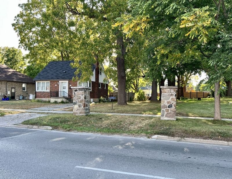
2. John Clark House Marker
Seen between the gate posts of the original drive to the house.
Photographed by Tim Boyd, September 14, 2025
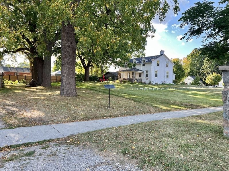
3. John Clark House Marker
Facing northwest, the Clark House is in the background
Photographed by Tim Boyd, September 14, 2025
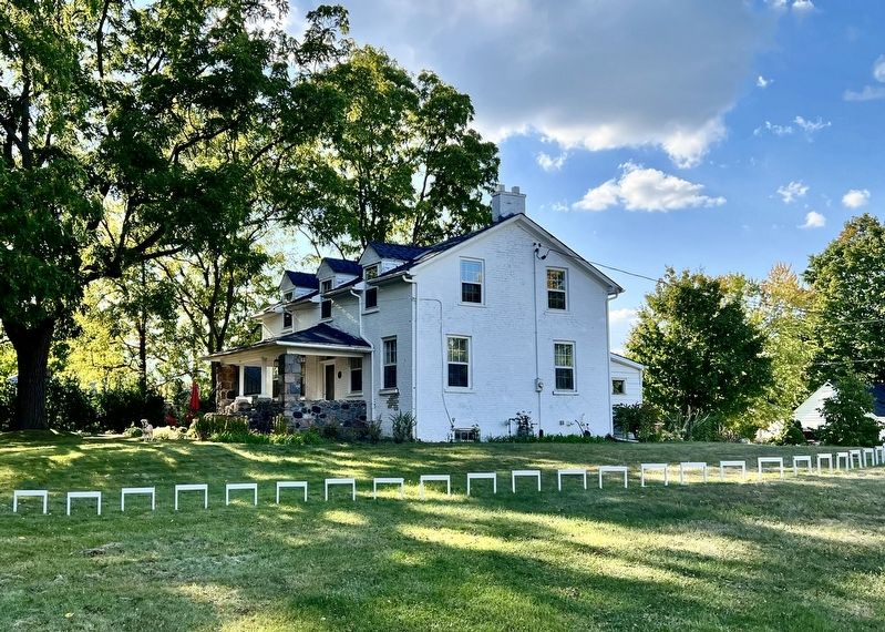
4. John Clark House in 2025
Credits. This page was last revised on September 30, 2025. It was originally submitted on September 30, 2025, by Tim Boyd of Hamilton, Ontario. This page has been viewed 60 times since then and 26 times this year. Photos: 1, 2, 3, 4. submitted on September 30, 2025, by Tim Boyd of Hamilton, Ontario. • Andrew Ruppenstein was the editor who published this page.
