Burnsville in Yancey County, North Carolina — The American South (South Atlantic)
The Charters of Freedom
Photographed by Mark Parker, September 28, 2025
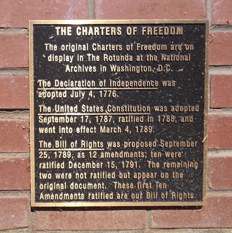
1. The Charters of Freedom Marker, Side One, located at the side of the far right display
The original Charters of Freedom are on display in The Rotunda at the National Archives in Washington, D.C.
The Declaration of Independence was adopted July 4, 1776.
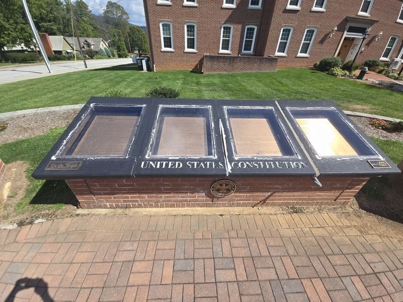
The United States Constitution was adopted September 17, 1787, ratified in 1788, and went into effect March 4, 1789.
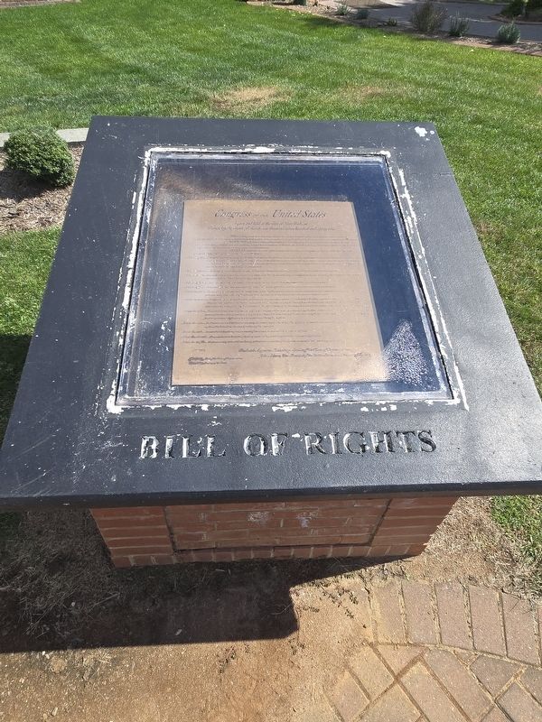
The Bill of Rights was proposed September 25, 1789, as 12 amendments; ten were ratified December 15, 1791. The remaining two were not ratified but appear on the original document. These first Ten Amendments ratified are our Bill of Rights.
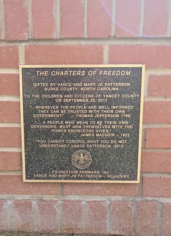
(Far left plaque) The Charters of Freedom gifted by Vance and Mary Jo Patterson
Burke County, North Carolina
To the children and citizens of Yancey County on September 25, 2017
"…wherever the people are well informed they can be trusted with their own government" — Thomas Jefferson 1789
"…A people, who mean to be their own governors, must arm themselves with the power knowledge gives." James Madison — 1822
"You cannot control what you do not understand." Vance Patterson — 2013
Erected 2017 by Foundation Forward, Inc., Vance and Mary Jo Patterson, Founders.
Topics.
this page online
Location. 35° 55.015′ N, 82° 17.924′ W. Marker is in Burnsville, North Carolina, in Yancey County. It is at the intersection of East Main Street and Town Square, on the right when traveling east on East Main Street. The marker and display are in front of the Yancey County Courthouse. Touch for map. Marker is at or near this postal address: 13 E Main Street, Burnsville NC 28714, United States of America. Touch for directions.

Regionally, this marker is in andspecifically he Mountains in the High Country. It is also in the American South, specifically in the Upper South, in Appalachia, and specifically in Southern Appalachia. Globally, it is in North America, the Western Hemisphere, the Western World, and the Anglosphere. Historically, it finds itself in what was once the original Cherokee Nation, the territory of the Mississippian Culture, one of the original Thirteen Colonies, one of the Confederate States of America, and the Antebellum South.
Other nearby markers. At
Photographed by Mark Parker, September 28, 2025
2. The Charters of Freedom Marker, Side Two, located at the side of the far left display
Photographed by Mark Parker, September 28, 2025
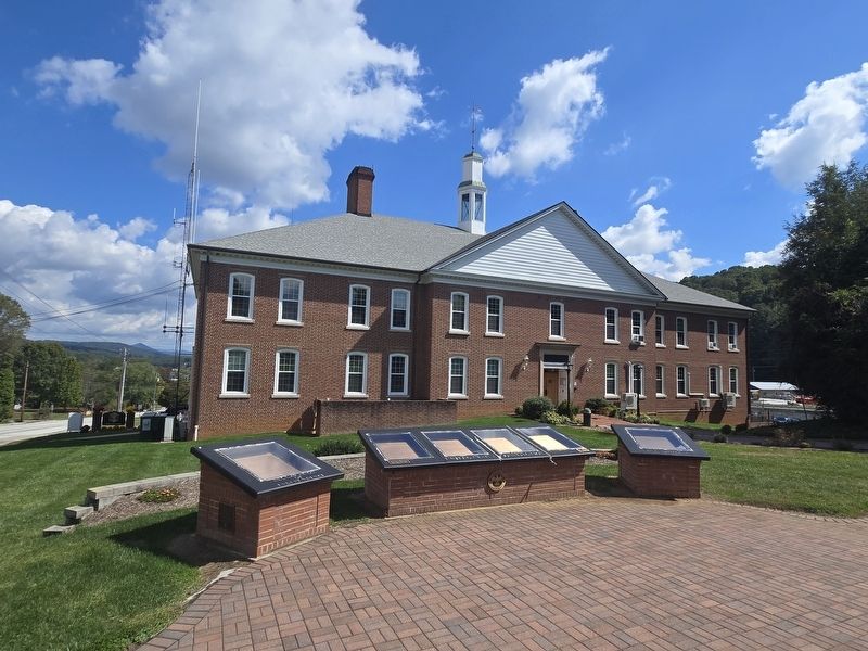
3. Full Charters of Freedom display at Yancey County Courthouse
Photographed by Mark Parker, September 28, 2025
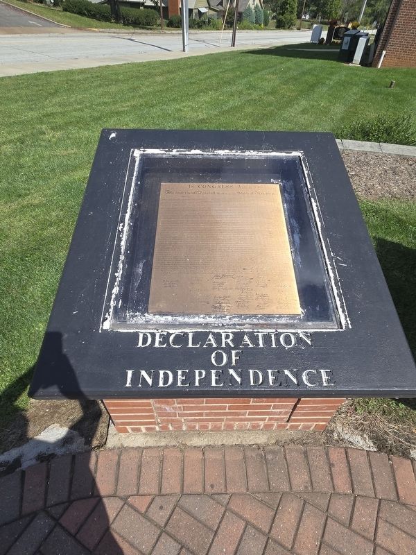
4. The Charters of Freedom Marker - replica display of the Declaration of Independence
Photographed by Mark Parker, September 28, 2025
5. The Charters of Freedom Marker - replica display of the U.S. Constitution
Photographed by Mark Parker, September 28, 2025
6. The Charters of Freedom Marker - replica display of the Bill of Rights
Credits. This page was last revised on December 28, 2025. It was originally submitted on September 30, 2025, by Mark Parker of Hickory, North Carolina. This page has been viewed 59 times since then and 37 times this year. Photos: 1, 2, 3, 4, 5, 6. submitted on September 30, 2025, by Mark Parker of Hickory, North Carolina. • Andrew Ruppenstein was the editor who published this page.
