Leesylvania in Prince William County, Virginia — The American South (Mid-Atlantic)
Rippon Lodge

Photographed by Kevin W., January 2, 2025
1. Rippon Lodge Marker
Erected by Mount Vernon Chapter Daughters of the American Revolution.
Topics and series. This historical marker is listed in these topic lists: Colonial Era • Patriots & Patriotism. In addition, it is included in the Daughters of the American Revolution (DAR), and the National Register of Historic Places (NRHP) series lists. A significant historical year for this entry is 1725.
Location. 38° 36.882′ N, 77° 16.699′ W. Marker is in Leesylvania, Virginia, in Prince William County. It can be reached from Admiral Black Drive 0.3 miles west of Blackburn Road, on the left when traveling west. Touch for map. Marker is at or near this postal address: 15500 Blackburn Road, Woodbridge VA 22191, United States of America. Touch for directions.

Regionally, this marker is in the Washington Metropolitan
this page online
Other nearby markers. At least 8 other markers are within walking distance of this marker: A different marker also named Latrobe's View (within shouting distance of this marker); Neabsco Creek (within shouting distance of this marker); Historic Landscape (about 300 feet away, measured in a direct line); a different marker also named Centuries of History (about 300 feet away); The Burying Ground (about 300 feet away); Stones, but No Bones (about 400 feet away); Collo. Richard Blackburn (about 600 feet away); The Doeg People (approx. 0.2 miles away). Touch for a list and map of all markers in Leesylvania.
Other markers no longer nearby.
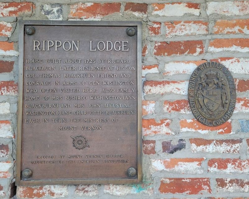
Photographed by Kevin W., January 2, 2025
2. Rippon Lodge Marker
The adjacent plaque is the seal of the Prince William County Historical Commission.

Photographed by Kevin W., January 2, 2025
3. Rippon Lodge Marker
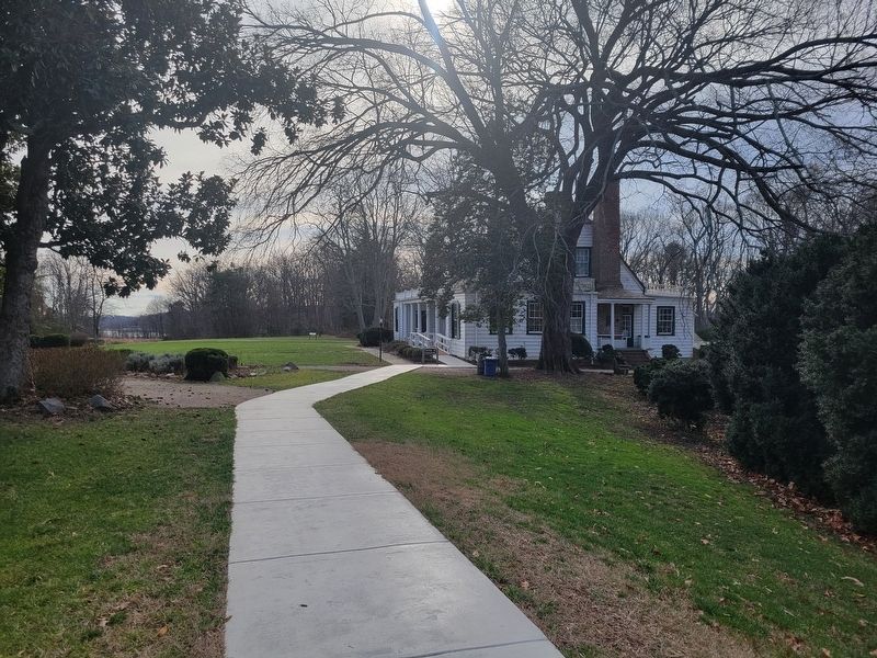
Photographed by Kevin W., January 2, 2025
4. Rippon Lodge Marker

Photographed by Kevin W., January 2, 2025
5. Rippon Lodge Marker
The National Historic Register plaque is near the front door.
Credits. This page was last revised on October 2, 2025. It was originally submitted on January 5, 2025, by Kevin W. of Stafford, Virginia. This page has been viewed 191 times since then and 33 times this year. Last updated on October 1, 2025, by N. Jozsa of Woodbridge, Virginia. Photos: 1, 2, 3. submitted on January 5, 2025, by Kevin W. of Stafford, Virginia. 4, 5. submitted on January 6, 2025, by Kevin W. of Stafford, Virginia. • Devry Becker Jones was the editor who published this page.
