
Near Clifton in Fairfax County, Virginia — The American South (Mid-Atlantic)
Enslaved Burial Ground at Ford's Mill
| — | Bull Run Occoquan Trail | — |

Photographed by Molly Thacker, October 2, 2025
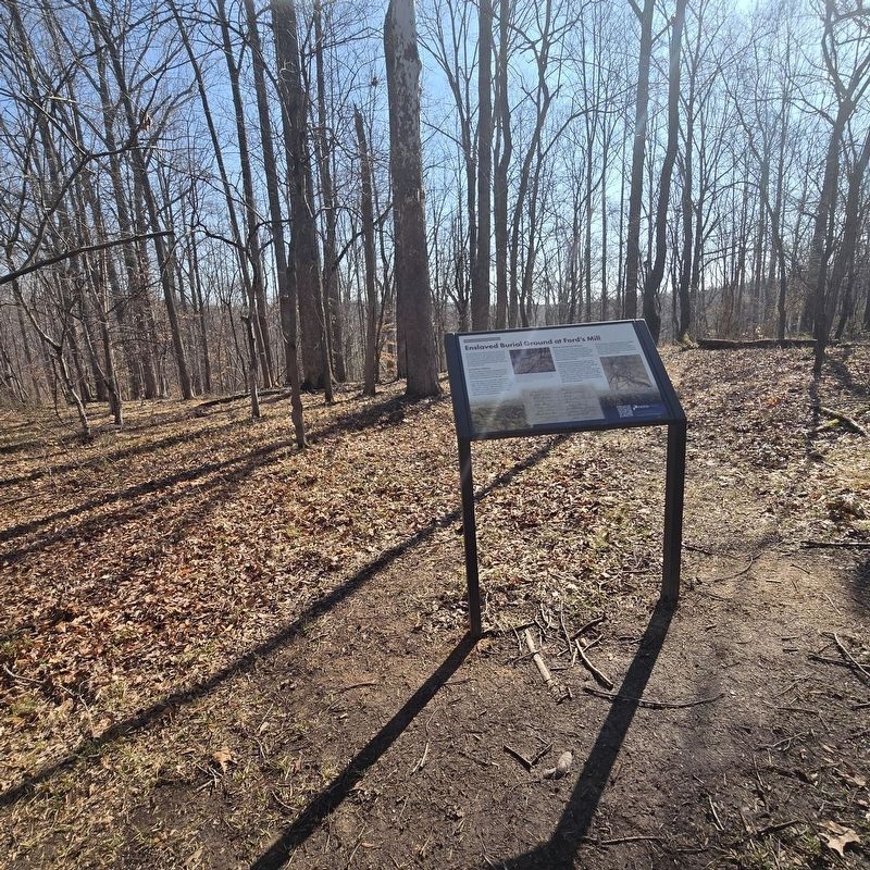
1. Enslaved Burial Ground at Ford's Mill Marker
This small graveyard likely holds the remains of people enslaved by Edward Ford. Ford owned this land, as well as the nearby Ford’s Mill and about 500 acres of farmland. The 1860 Census recorded that Ford held 33 enslaved people. Those buried here probably labored on the Ford farm and at the mill.
Cemetery History
The seven graves at this site are aligned west to east. The larger of each grave's two stones indicates the head to the west. This is typical of enslaved burial grounds of the era.
One of the graves is not sunken, which usually means the person was buried without a wooden coffin. Ford's Mill had a lumber mill in addition to a grist mill, so wood might have been available for coffins in the other six graves. However, it wasn't common for an enslaver to bear that expense for an enslaved person.
African American Graves
Enslaved cemeteries were often located at edges of fields to avoid interfering with farming activities, and that might have factored into the choice of this site. This bluff overlooking the waters of the Occoquan River might have also been desirable for burials.
Enslaved Africans were
this page online
This resting place of enslaved people is tangible evidence of the institution which thrived in Virginia until it was partly ended by President Lincoln's 1863 Emancipation Proclamation and permanently abolished by the 13th Amendment to the Constitution in 1865.
(captions)
Above: Outlines show the placement of the burials. A few of the graves are very short in length, the person buried there might be a very short adult or a child.
Below: Most of the identities of the enslaved owned by Edward Ford have been lost, but a few are found in the birth and death records from the 1850s.
Background. View of the Occoquan River near the site of Ford's Mill.
Source: Chuck Fazio Photography.
Above: The enslaved burial ground indicated in blue on an 1860s map. Source: Library of Congress.
Erected by NOVA

Photographed by Molly Thacker, October 2, 2025
2. Enslaved Burial Ground at Ford's Mill
Topics. This historical marker is listed in these topic lists: African Americans • Cemeteries & Burial Sites. A significant historical year for this entry is 1860.
Location. 38° 43.512′ N, 77° 21.737′ W. Marker is near Clifton, Virginia, in Fairfax County. It can be reached from Wolf Run Shoals 1.2 miles south of Henderson Road. Touch for map. Marker is at or near this postal address: 8542-8598 Wolf Run Shoals Rd, Clifton VA 20124, United States of America. Touch for directions.

Regionally, this marker is in the Washington Metropolitan Area and in Northern Virginia. It is also in the American South, specifically in the Upper South, in the Mid-Atlantic, and on the Eastern Seaboard. Globally, it is in the North Atlantic Region, North America, the Western Hemisphere, the Western World, and the Anglosphere. Historically, it finds itself in what was once the territory of the Mississippian Culture, one of the original Thirteen Colonies, one of the Confederate States of America, and the Antebellum South.
Other nearby markers. At least 8 other markers are within 3 miles of this marker, measured as the crow flies:
Photographed by Mike McKeown, March 21, 2026
3. Enslaved Burial Ground at Ford's Mill Marker
Credits. This page was last revised on March 30, 2026. It was originally submitted on October 2, 2025, by Molly Thacker of Arlington, Virginia. This page has been viewed 226 times since then and 128 times this year. Photos: 1, 2. submitted on October 2, 2025, by Molly Thacker of Arlington, Virginia. 3. submitted on March 21, 2026, by Mike McKeown of Baltimore, Maryland. • Bernard Fisher was the editor who published this page.
