
Fort Yates in Sioux County, North Dakota — The American Midwest (Upper Plains)
Fort Yates
Lewis & Clark in North Dakota
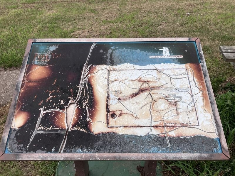
Photographed by Barry Swackhamer, July 20, 2025
1. Fort Yates Marker
The exp...
rained all last night, we Set out early and proceeded on at 3 Miles passed an Ind. Camp on the S. S. we halted above and about 30 of the Indians came over in their Canoos of Skins, we eate with them, they give us meat, in return we gave fishhooks & Some beeds, about a mile higher we came too on the L. S. at a Camp of Ricres of about 8 Lodges, we also eate & they gave Some meat, 〈here we found the relation of〉 we proceded on Saw numbers of Indians on both Sides passing a Creek, [3] Saw many Curious hills, high and much the resemblance of a house with a hiped roof, at 12 oClock it Cleared away and the evening was pleasent, wind from the N. E.— at Sunset we arrived at a Camp of Ricares of 10 Lodges on the S. S. we Came too and Camped near them 〈I〉 Capt Lewis & my Self went with the Chief who accompanis us, to the Huts of Several of the men all of whome Smoked & gave us Something to eate also Some meat to take away, those people were kind and appeared to be much plsd. at the attentioned paid them. Those people are much pleased with my black Servent— Their womin verry fond of carressing our men. &.
Topics and series.
this page online
Location. 46° 5.598′ N, 100° 37.62′ W. Marker is in Fort Yates, North Dakota, in Sioux County. It is at the intersection of Standing Rock Avenue and Fort Street, on the left when traveling south on Standing Rock Avenue. Touch for map. Marker is in this post office area: Fort Yates ND 58538, United States of America. Touch for directions.

Regionally, this marker is on North Dakota’s Missouri Plateau. It is also in the American Lewis & Clark Corridor, on the prairies, and on the Northern Plains. Globally, it is in North America, the Western Hemisphere, the Western World, and the Anglosphere. Historically, it finds itself in what was once Rupert’s Land and also the Louisiana Purchase.
Other nearby markers. At least 6 other markers are within 10 miles of this marker, measured as the crow flies: Standing Rock Monument (a few steps from this marker); Lakota, Dakota & Dakota People (a few steps

Photographed by Barry Swackhamer, July 20, 2025
2. Fort Yates Marker (map detail)
Another marker is no longer nearby. Sitting Bull (was approx. 0.4 miles away but has been permanently removed).
More about this marker. This marker has been severely damaged and is unreadable. Since the subject of this marker is the Lewis and Clark Expedition on October 15, 1804 the text of their original journal on that date is substituted.
Photographed by Barry Swackhamer, July 20, 2025
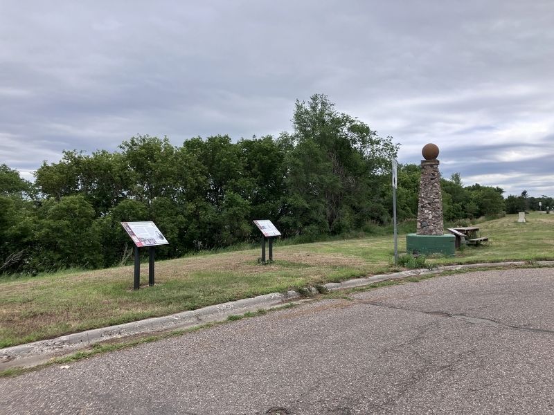
3. Fort Yates Marker
The marker is located to the right of the monument with the "cannonball" concretion on top.
Credits. This page was last revised on October 4, 2025. It was originally submitted on October 4, 2025, by Barry Swackhamer of Brentwood, California. This page has been viewed 71 times since then and 24 times this year. Photos: 1, 2, 3. submitted on October 4, 2025, by Barry Swackhamer of Brentwood, California.
