
Sharpsburg in Washington County, Maryland — The American Northeast (Mid-Atlantic)
Anderson’s Division, Longstreet’s Command
Photographed by Mike McKeown, October 5, 2025
1. Anderson’s Division, Longstreet’s Command Marker
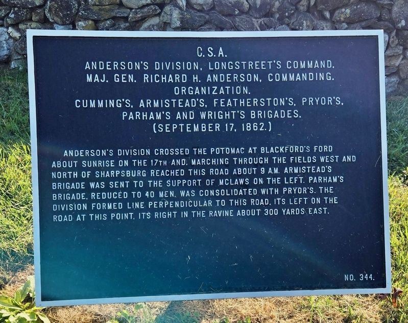
Anderson’s Division, Longstreet’s Command.
Maj. Gen. Richard H. Anderson, Commanding.
Organization.
Cumming’s, Armistead’s, Featherston’s, Pryor’s,
Parham’s, and Wright’s Brigades.
(September 17, 1862.)
Anderson’s Division crossed the Potomac at Blackford’s Ford about sunrise on the 17th and, marching through the fields west and north of Sharpsburg reached this road about 9 A.M. Armistead’s Brigade was sent to the support of McLaws on the left. Parham’s Brigade, reduced to 40 men, was consolidated with Pryor’s. The Division formed line perpendicular to this road. Its left at this point, its right in the ravine about 300 yards east.
No. 344.
Erected by Antietam Battlefield Board. (Marker Number 344.)
Topics and series. This historical marker is listed in this topic list: War, US Civil. In addition, it is included in the Antietam Campaign War Department Markers series list. A significant historical date for this entry is September 17, 1862.
Location. 39° 28.077′ N, 77° 44.703′ W. Marker is in Sharpsburg, Maryland, in Washington County. It is on Sharpsburg Pike (Maryland Route 65) 0.2 miles south of Bloody Lane, on
this page online

Regionally, this marker is in Western Maryland. It is also in the American Mid-Atlantic, in Appalachia, and specifically in Northern Appalachia. Globally, it is in North America, the Western Hemisphere, the Western World, and the Anglosphere. Historically, it finds itself in what was once one of the original Thirteen Colonies.
Other nearby markers. At least 8 other markers are within walking distance of this marker: D. H. Hill’s Division, Jackson’s Command (here, next to this marker); A.N.V. (a few steps from this marker); D.H. Hill's Division, Jackson's Command (about 600 feet away, measured in a direct line); Longstreet's Command (approx. 0.2 miles away); a different marker also named Longstreet's Command (approx. 0.2 miles away); Colquitt's and Garland's Brigades (approx. 0.2 miles away); a different marker also named Longstreet's Command (approx. ¼ mile away); Sixth Army Corps (approx. 0.3 miles away). Touch for a list and map of all markers in Sharpsburg.
Also see . . .
1. Anderson's Division (Antietman on the web).
Photographed by Mike McKeown, October 5, 2025
2. Anderson’s Division, Longstreet’s Command Marker
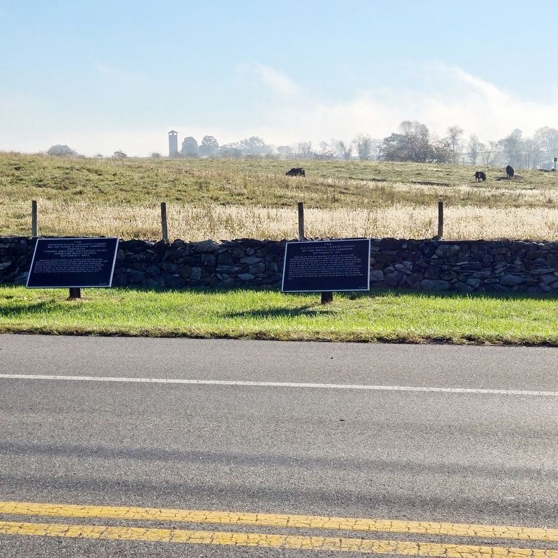
Piper Farm in the background (Marker is on left)
2. Antietman National Battlefield (National Park Service). (Submitted on October 5, 2025, by Mike McKeown of Baltimore, Maryland.)
3. Richard Anderson (American Battlefield Trust). (Submitted on October 5, 2025, by Mike McKeown of Baltimore, Maryland.)
Century Company (Public domain)
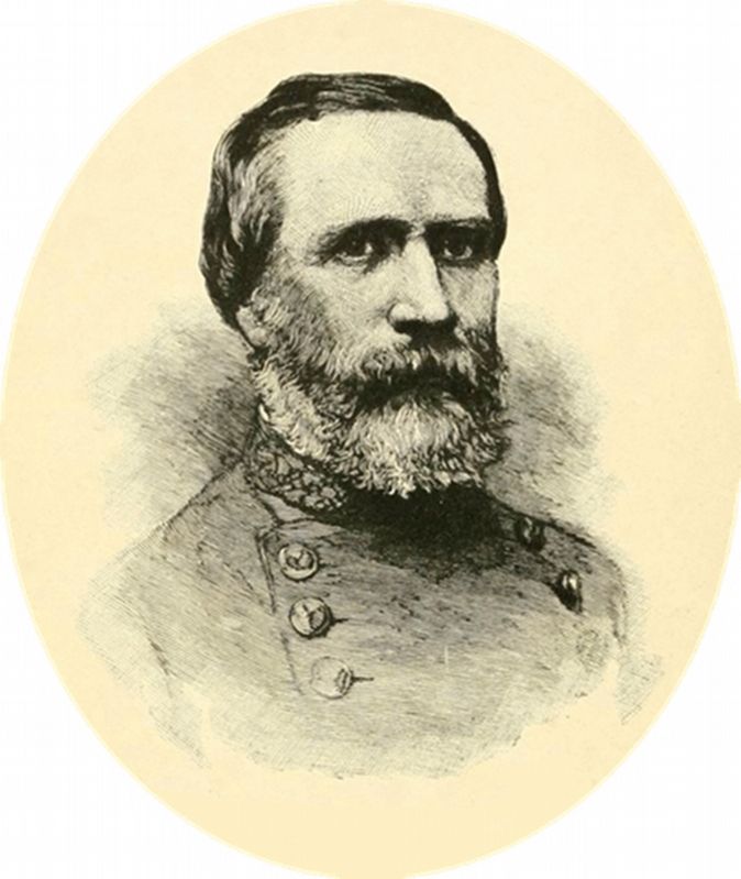
3. Gen. Richard Anderson
Credits. This page was last revised on October 8, 2025. It was originally submitted on October 5, 2025, by Mike McKeown of Baltimore, Maryland. This page has been viewed 47 times since then and 14 times this year. Photos: 1, 2, 3. submitted on October 5, 2025, by Mike McKeown of Baltimore, Maryland. • Bill Pfingsten was the editor who published this page.
